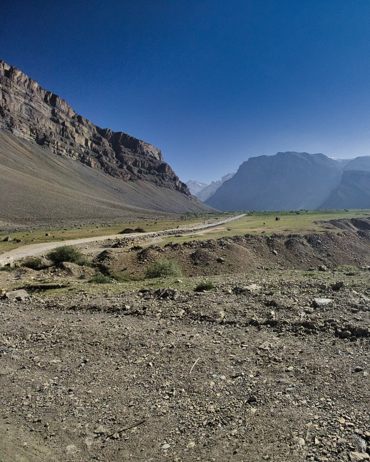
The actual bicycle trip started from Srinagar, India and ended in Shimla, India. But, the main flight to and from India was through New Delhi. So, a short flight took me to Srinagar from Delhi, and a train (was supposed to be arranged) from Shimla to Delhi (but that never happened).
The actual bike route went through: Kashmir, Ladakh, and the Spiti and Kinnaur valleys.
Here is a visual overview of the route - which was basically on the main highways of those regions (in some areas, I would even call them proper roads).
(REMEMBER THAT YOU CAN CLICK ON ANY OF THE IMAGES TO ENLARGE THEM)
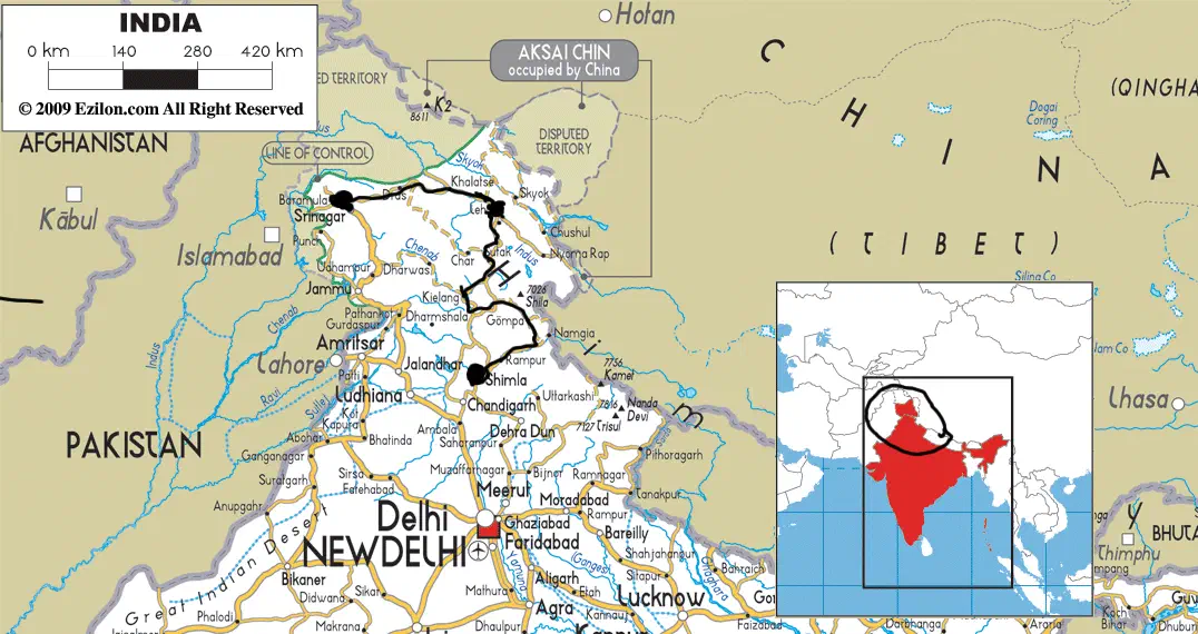 Route thru the Himalayas
As you can see, the route starts very close to the Pakistan border and gets very close to the Tibetan (Chinese) border, closer to the end. As you will find out later, these two areas were of concern.
Also, the route is broken down into three major sections: Srinigar-Leh, Leh-Manali, Spiti and Kinnuar - with the first two being named after the start/end city and the third being named after the valleys that the road travels through.
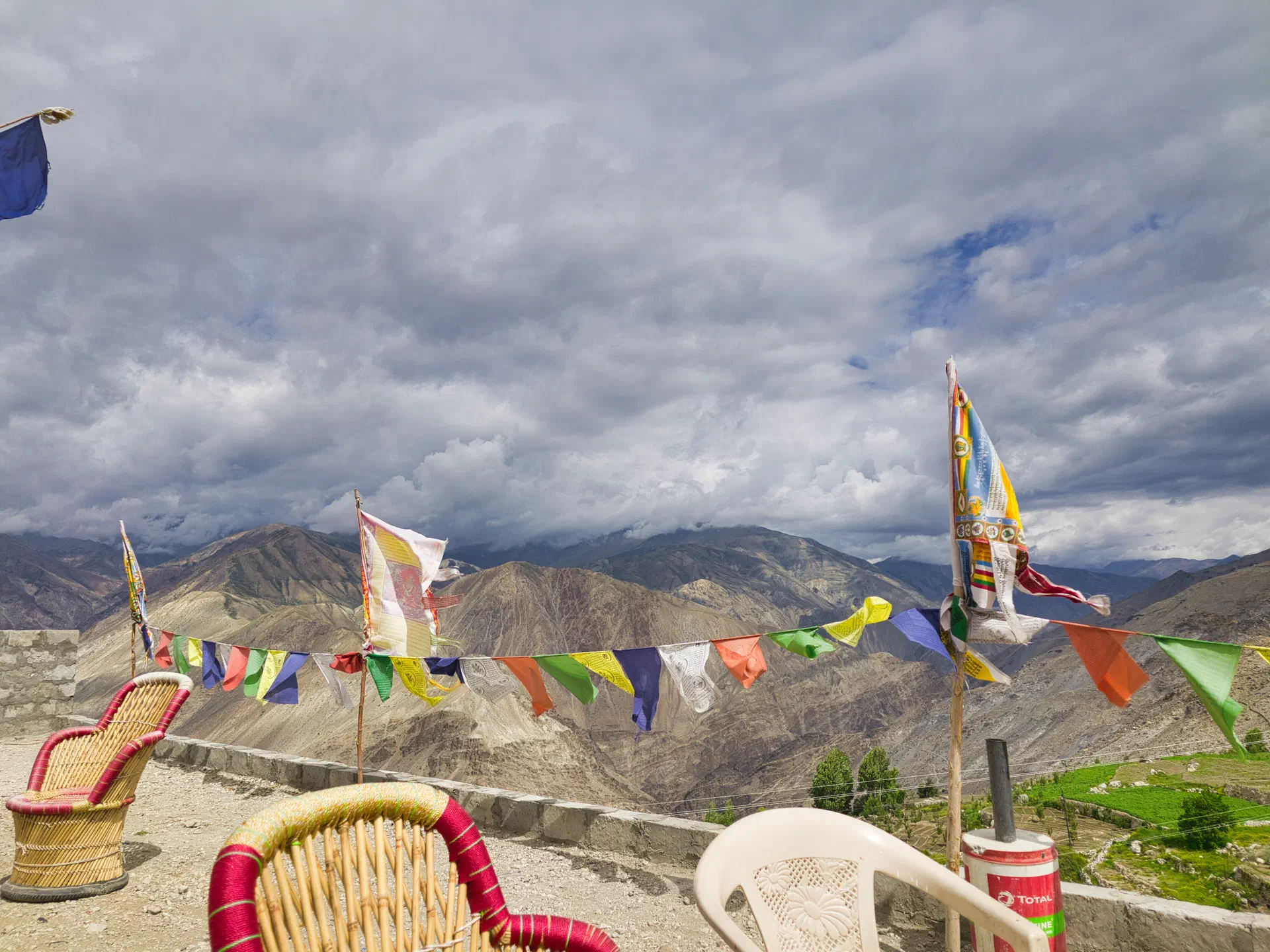
An interesting fact about this route is that for the majority of it you are above 10,000 ft.
Srinagar - Leh Section
Srinagar. This town is in the region know as Kashmir, which is disputed territory between Pakistan and India. This is because the majority of the population in the region is Muslim and therefore was claimed by Pakistan in the partition. India now controls and claims the entire region.
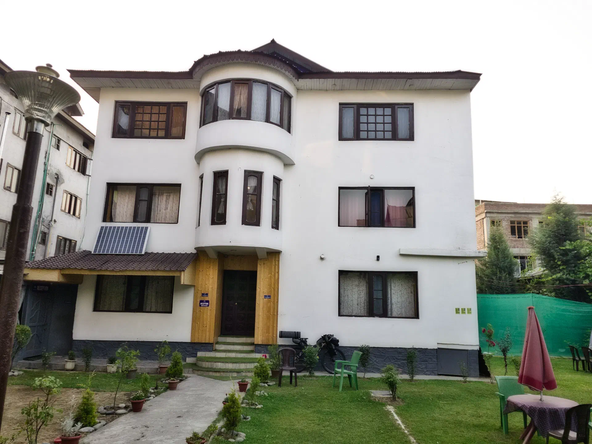
Srinagar, is only a few miles from the border and has been known historically as having incursions and bombings from Pakistan. In recent years, this has not been a issue. But, there is still an occasional flare up between the nations. Because of the potential for something happening, I only stayed one night in Srinagar and immediately started out of the area after setting up my bike and getting a nights sleep.
To be fair, the city and region was very nice, and I had no issues - or even a hint of an issue.
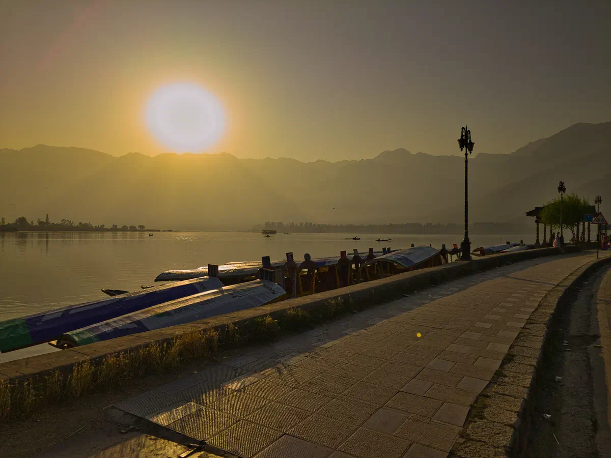
The city of Srinagar is known for its house boats on its main lake (which one can rent). So, I took the long way around the lake to take in the scenery before heading up into the mountains. I could have stayed an extra night on a house boat, but instead decided to get started on the trip.
A lot of cyclists go east to west, instead of my west to east, and end their trips by staying in a house boat. I decided that west to east made more sense, because that is the direction of the prevailing winds. Plus, I would be building up to taller and taller passes as the trip progressed in this region. After completing the trip, I still think it is a better direction to travel by bike.
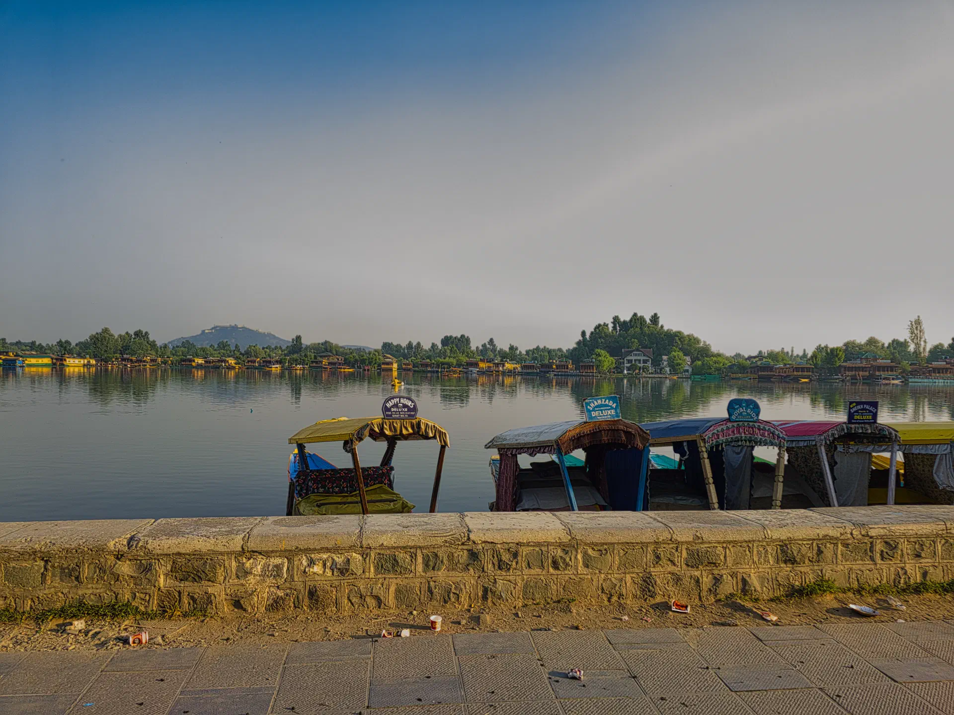
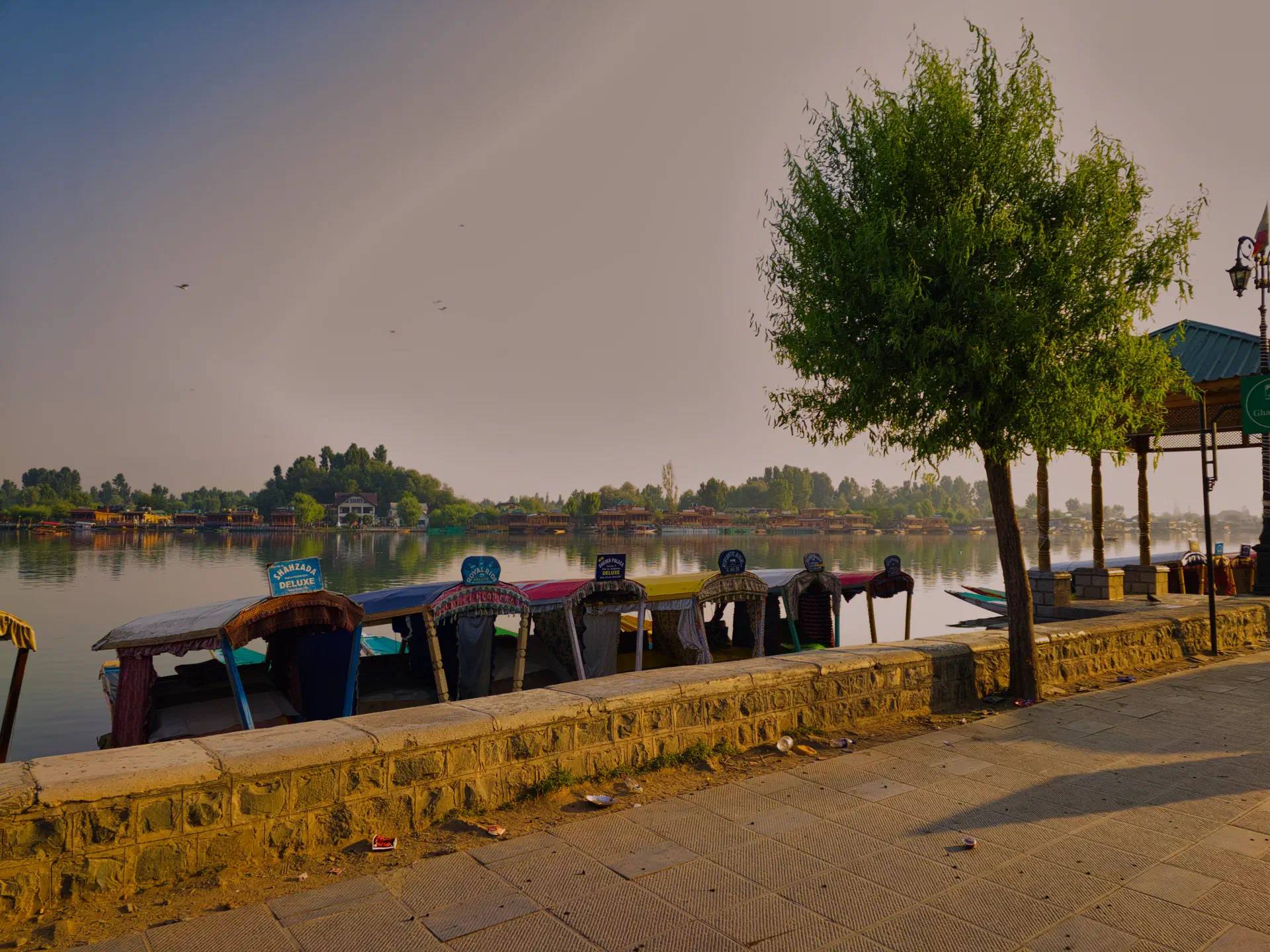
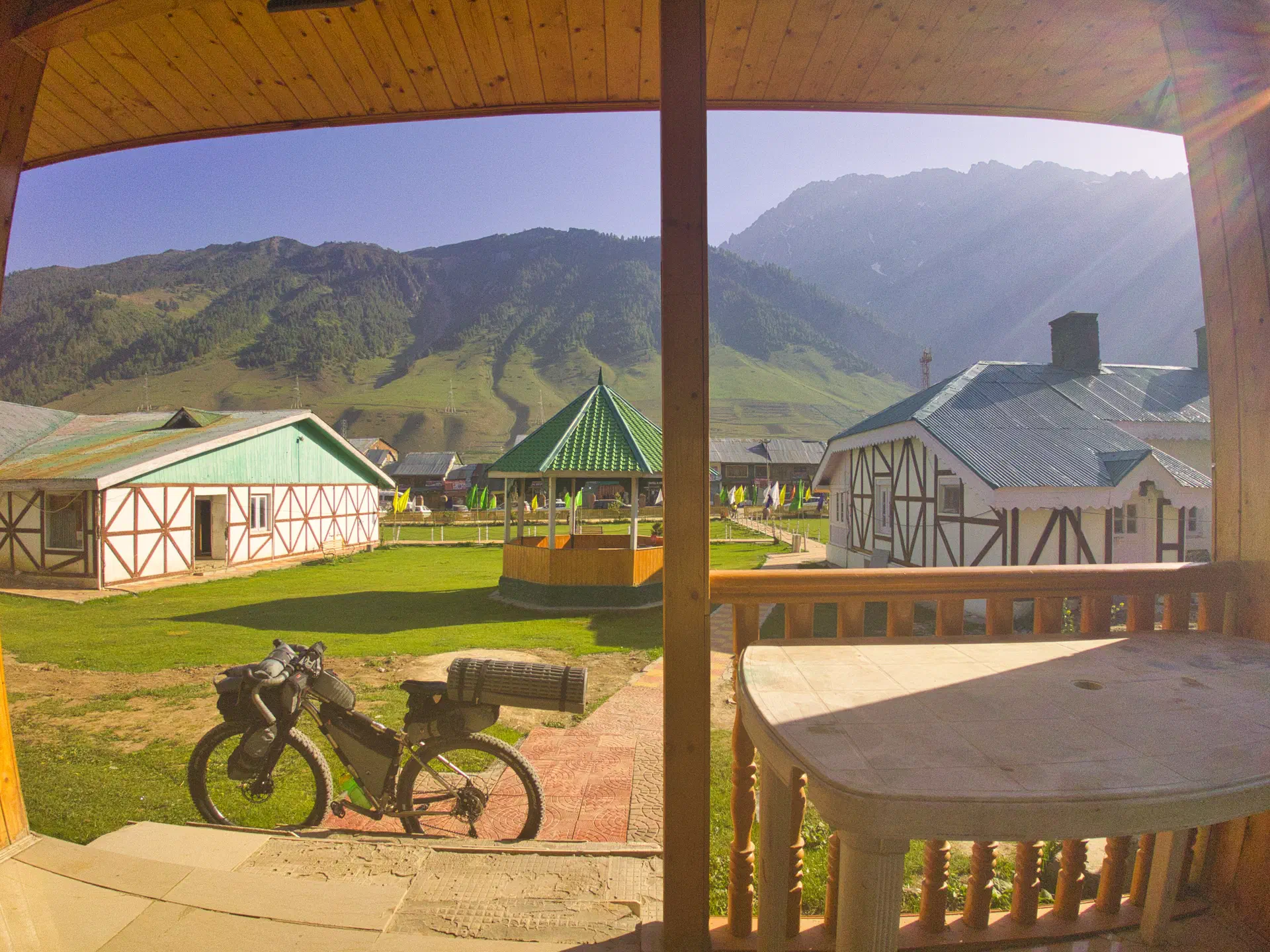
The entire section from Strinagar to Leh is approximately 450 kilometers (280 miles) with three major passes (BTW - La means pass):
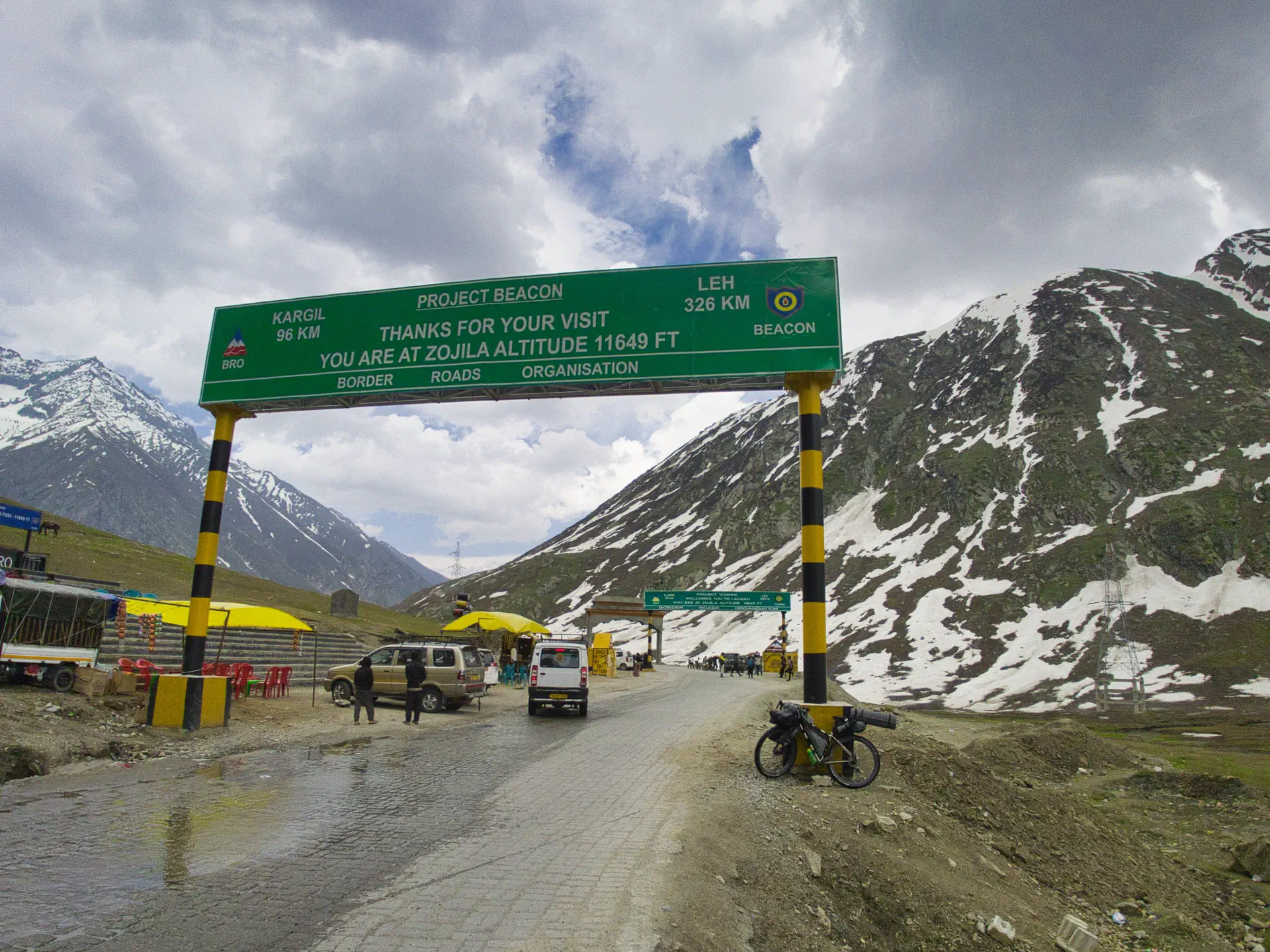
- Zoji La - 3545m (11,649 ft)
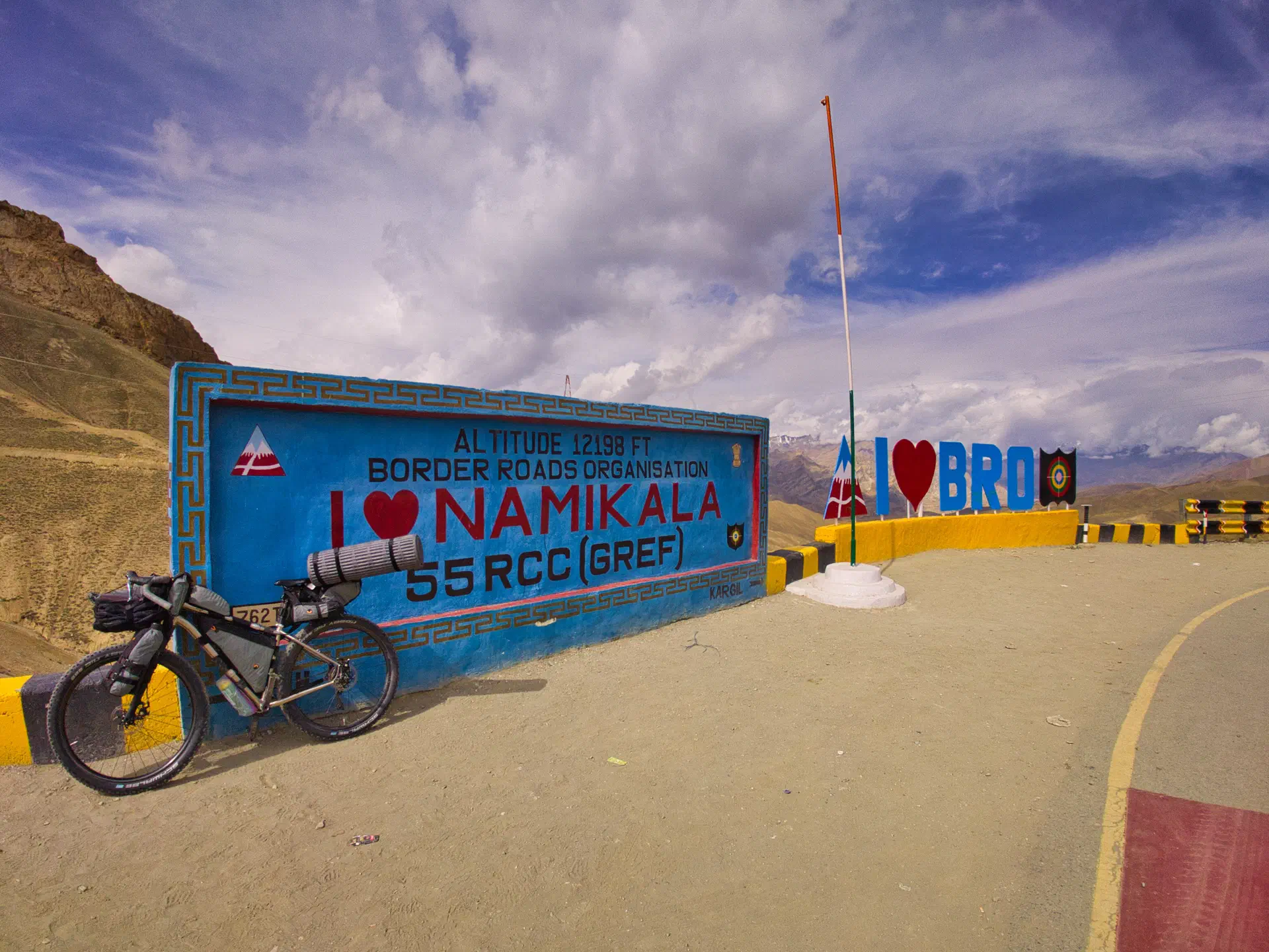
- Namika La - 3827m (12,198 ft)
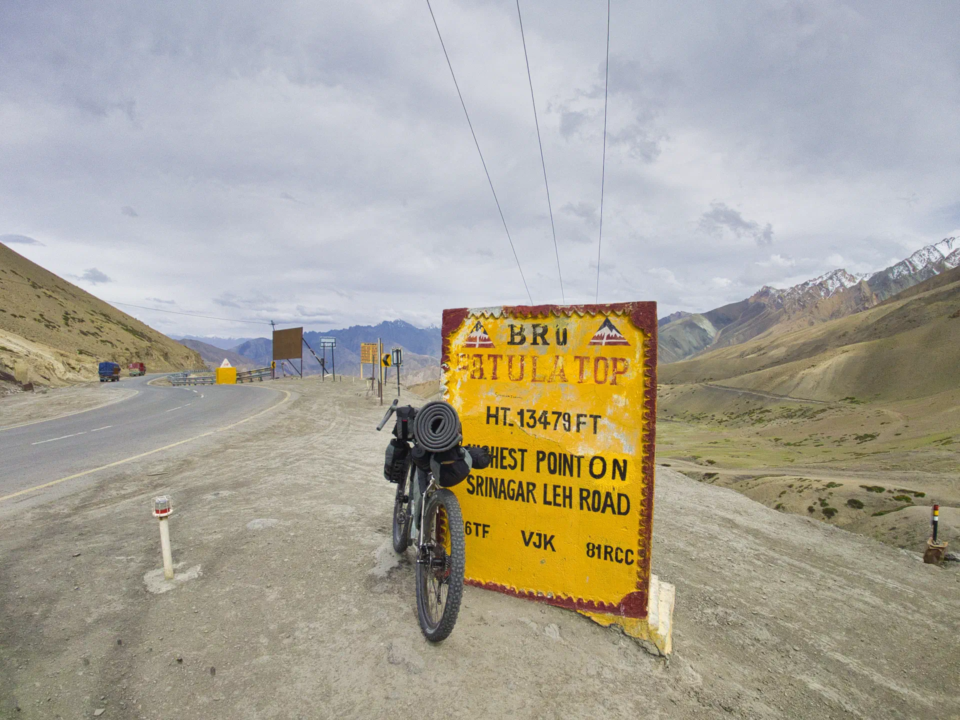
- Fotu La - 4105m (13,479 ft)
This section of the route took me 7 days of riding to complete. That is about 64k (40 miles) a day.
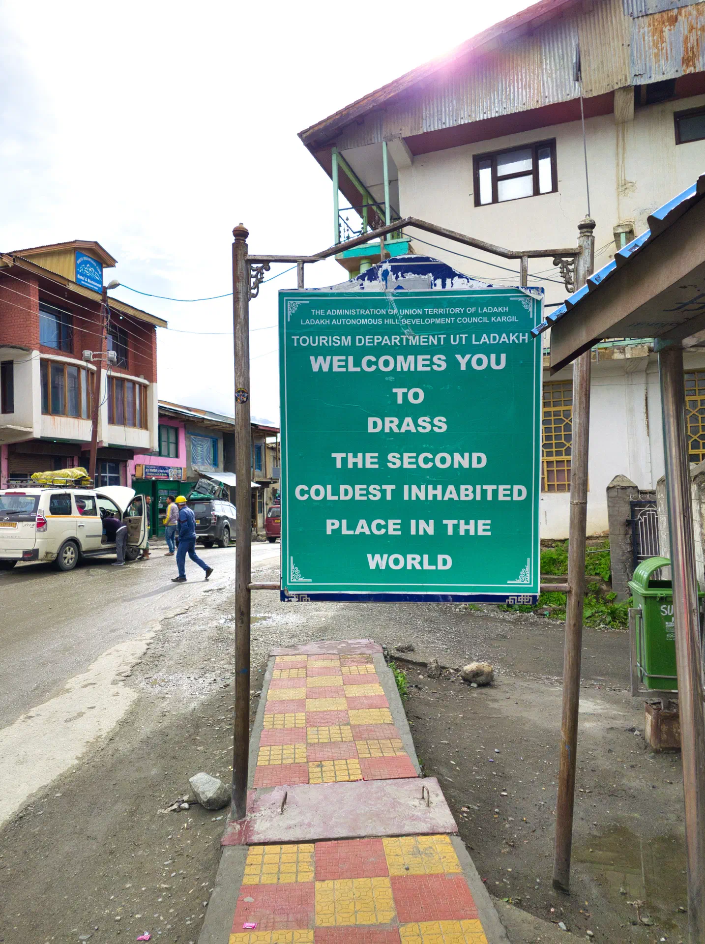
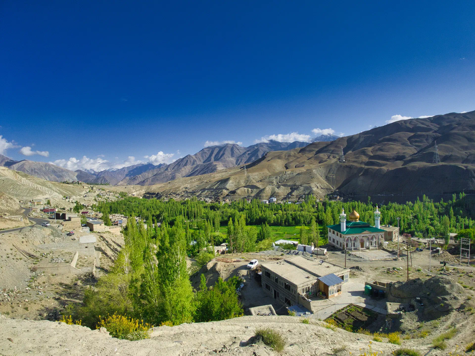
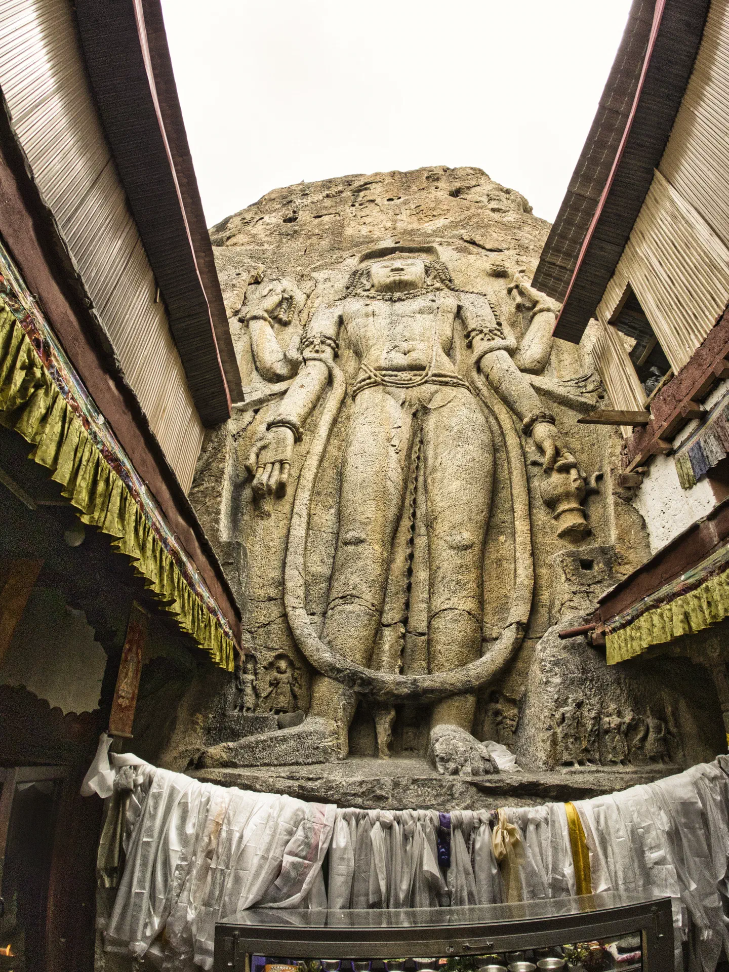
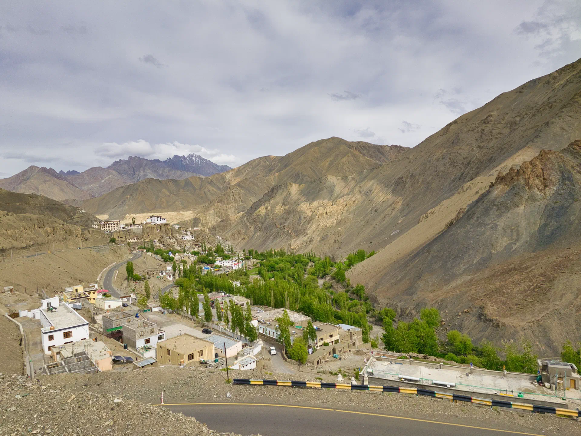
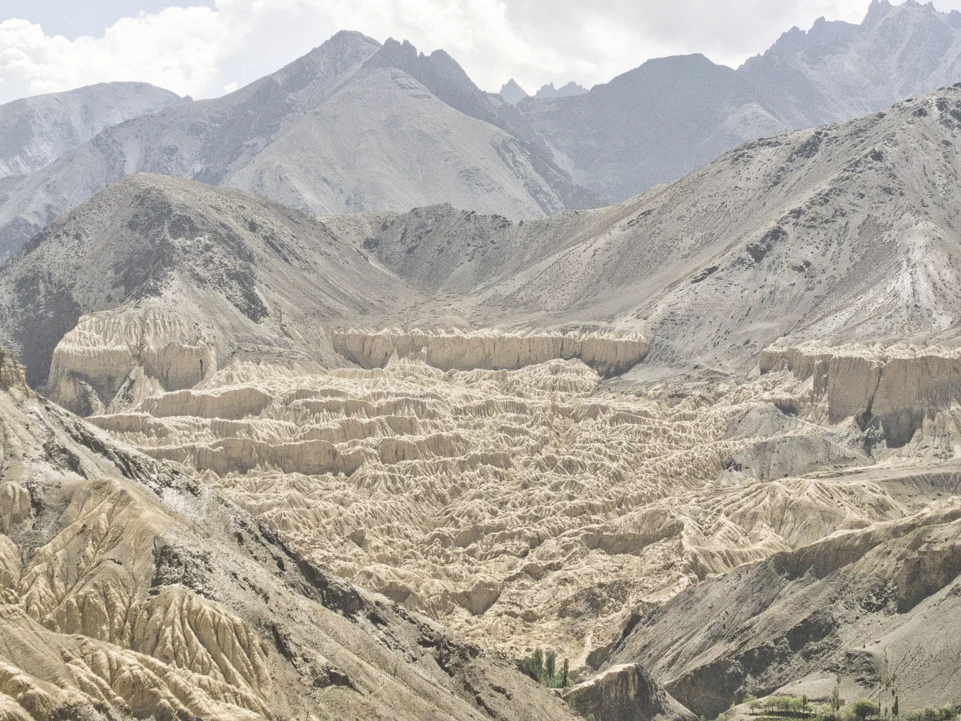
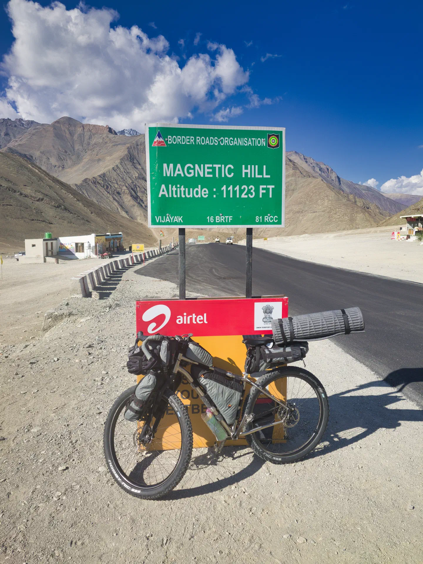
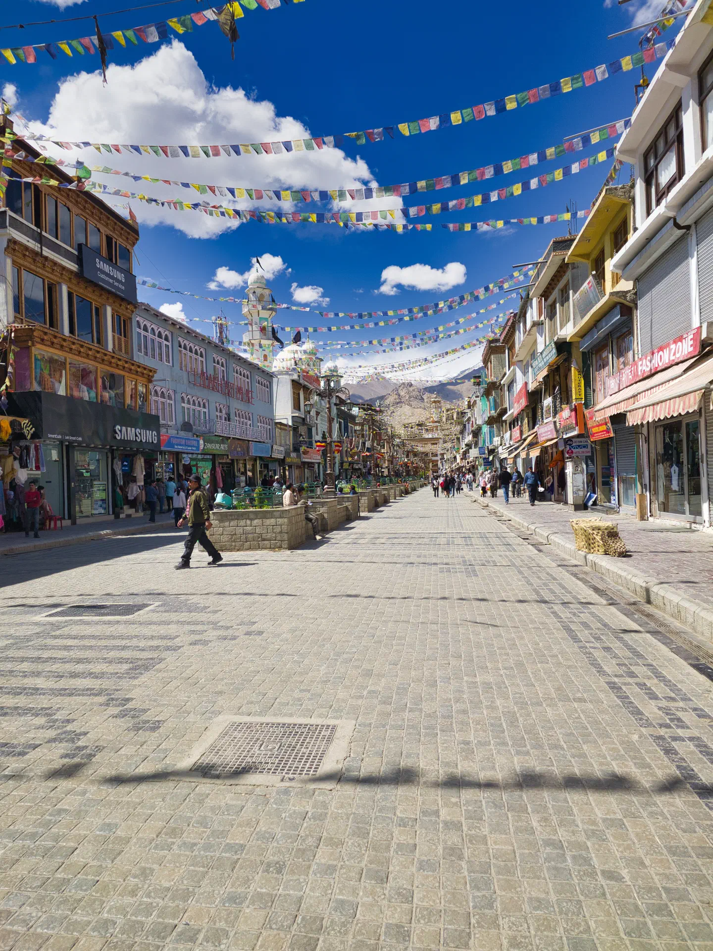
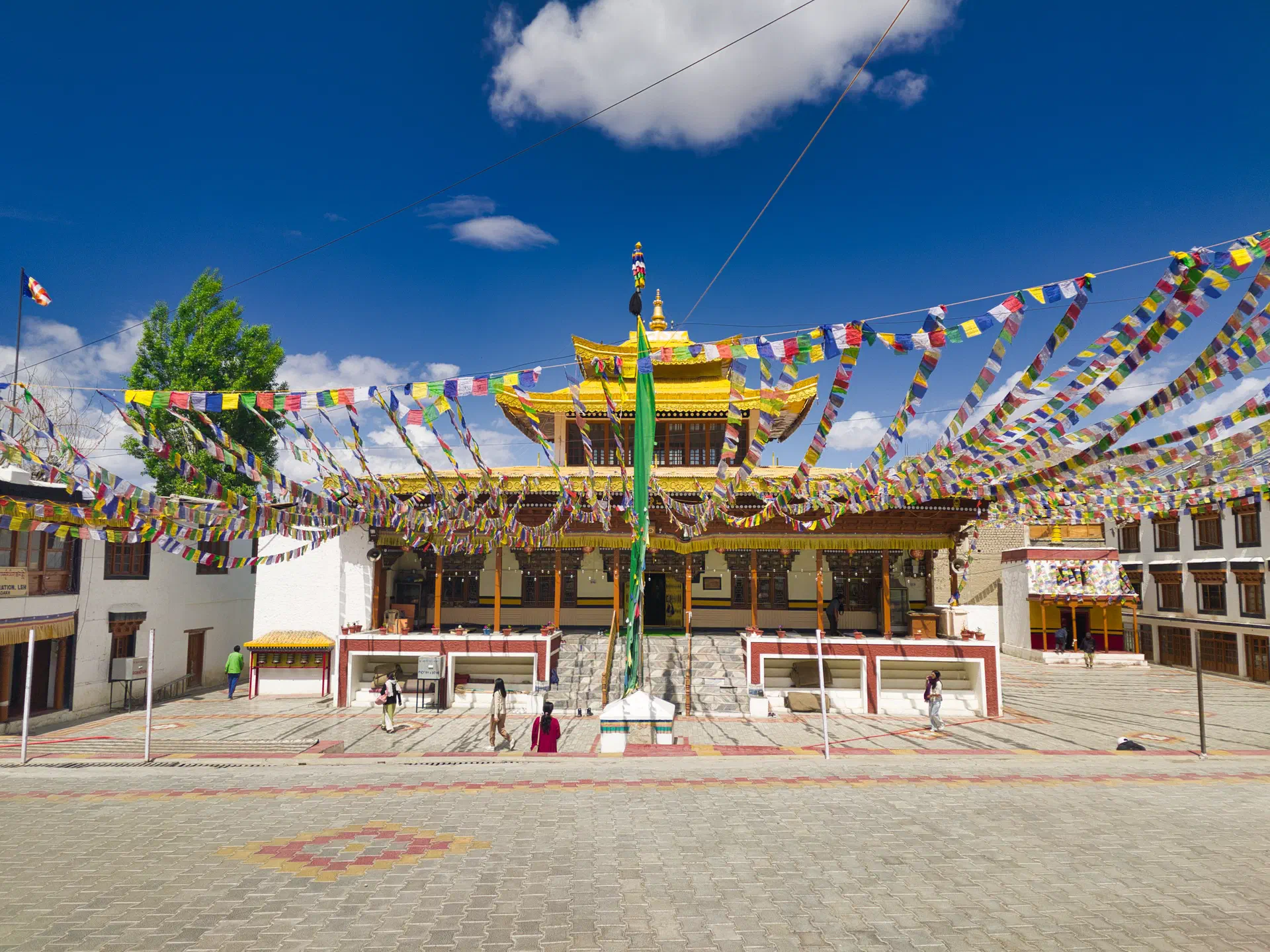
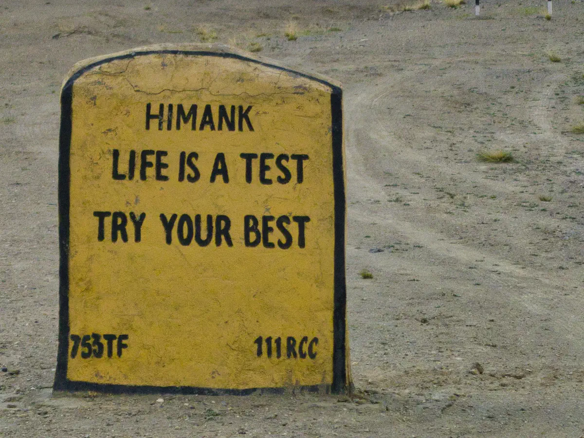
An interesting observation about this region is that it started out with a Muslim vibe and ended up with a very Tibetan vibe. This observation became more noticable when switching from Kasmir to Ladahk. But, it wasn’t like an immediate or even quick switch. It was just a slow conversion that became more and more obvious with each new village.
Leh - Manali Section
This section of the route is also approximately 450 kilometers (280 miles) with four major passes:
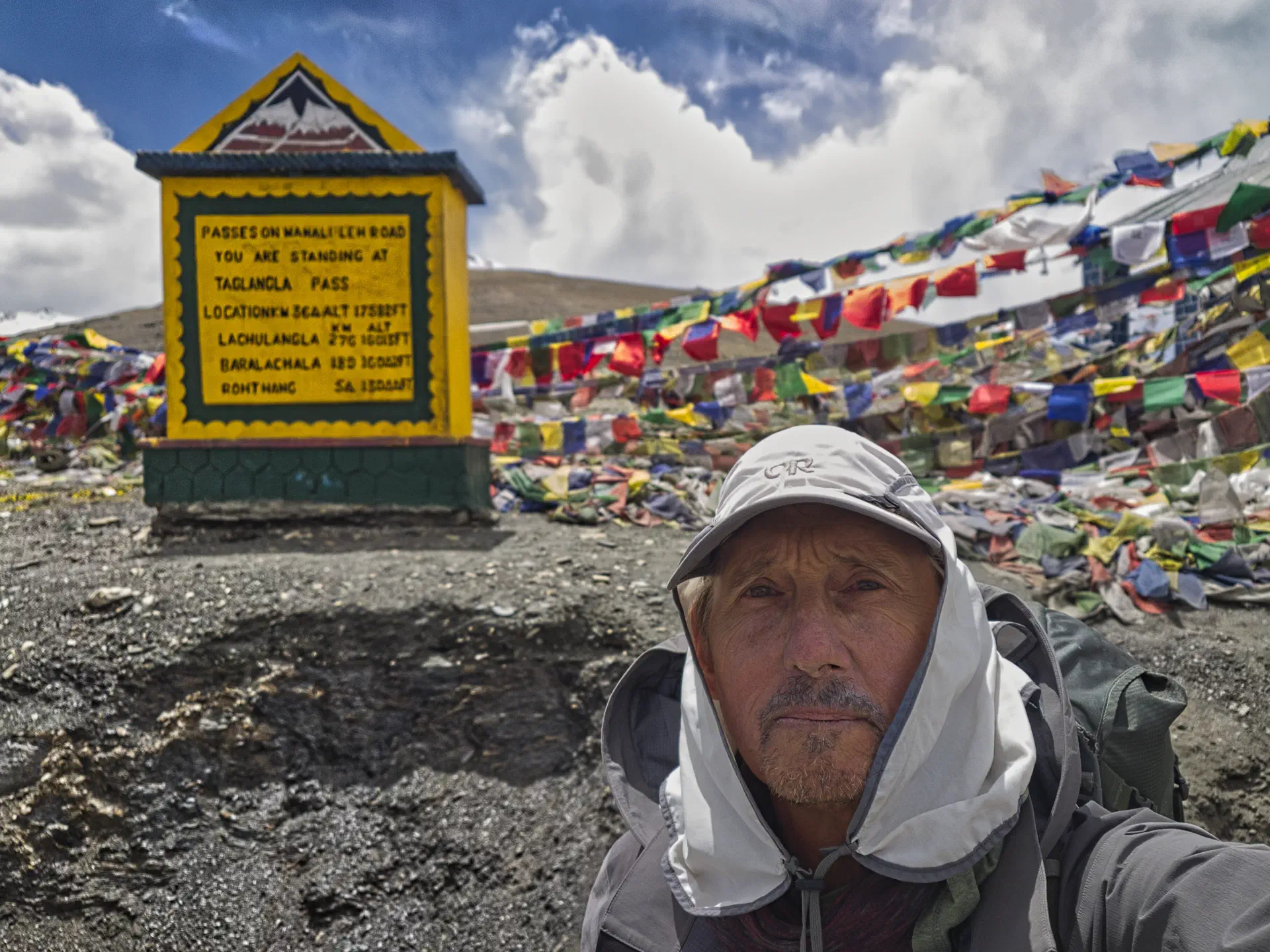
- TagLang La - 5300m (17,482 ft)
- Lachulung La - 5077m (16,656 ft)
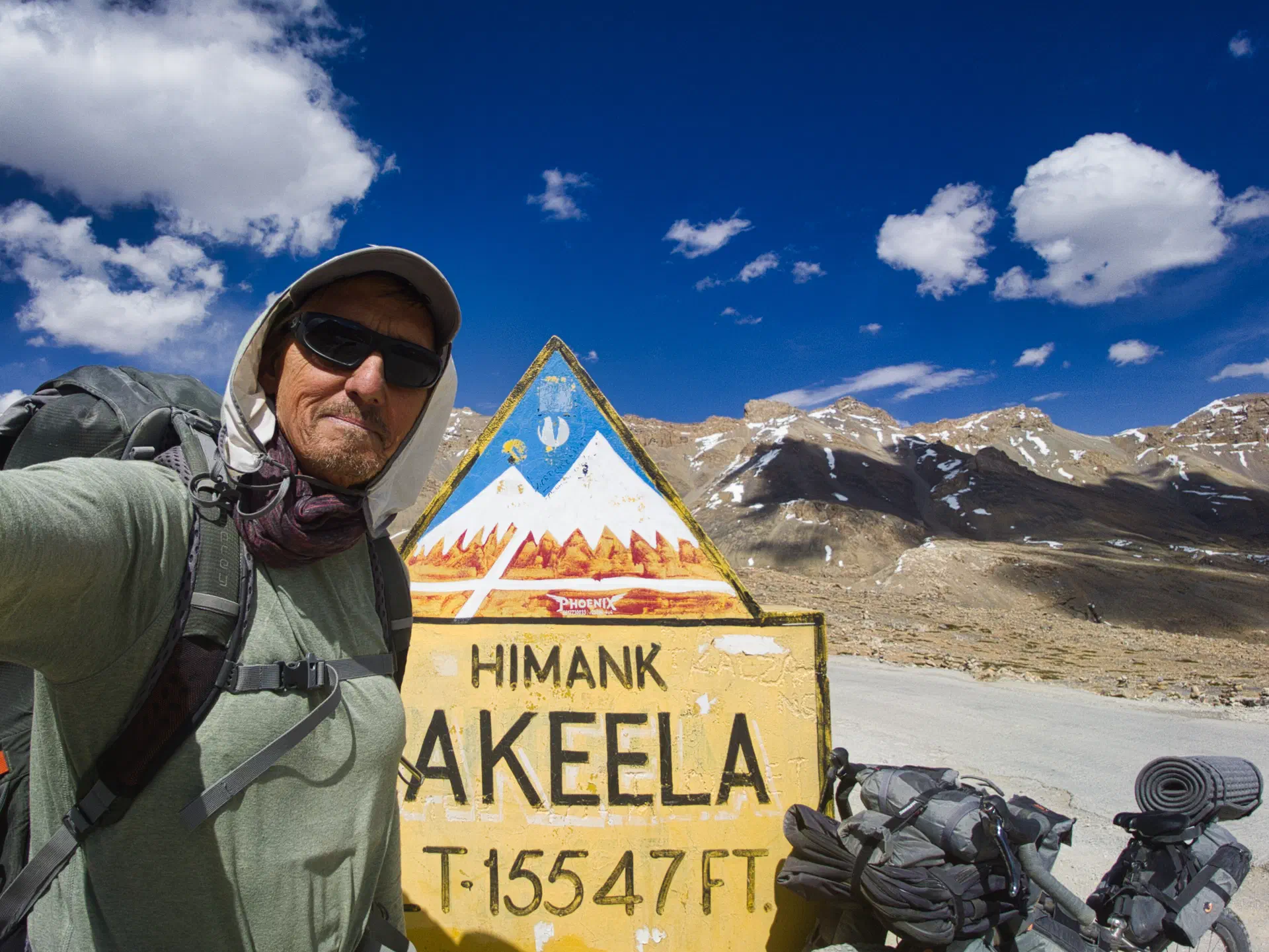
- Nakeela La - 4937m (15,547 ft)
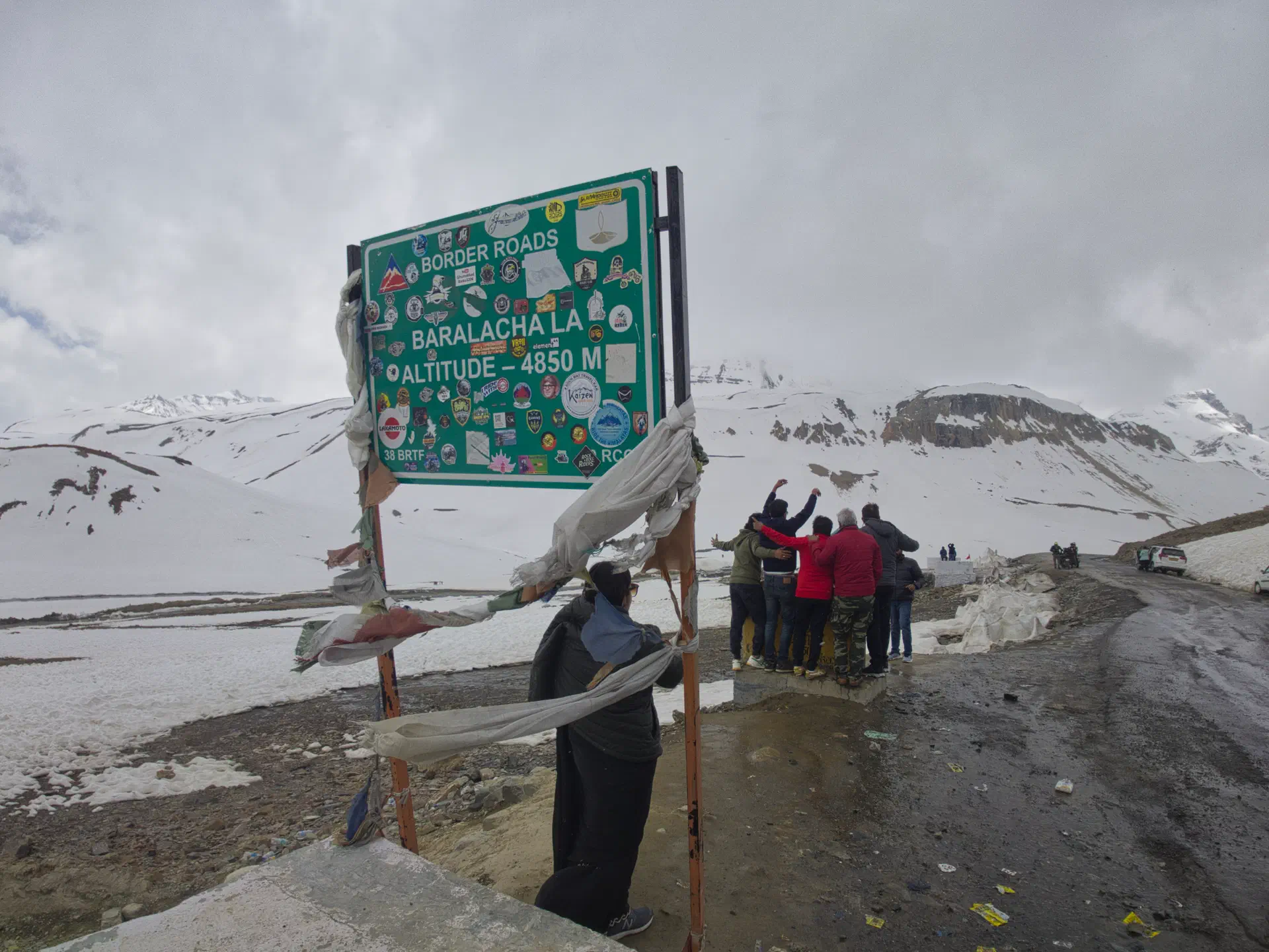
- Baralacha La - 4850m (15,912 ft)
If one goes all the way to Manali, there is a fifth pass (Rohtang La), which I did not do because I continued onto the Spiti section of the route (which connects before the pass at Gramphoo).
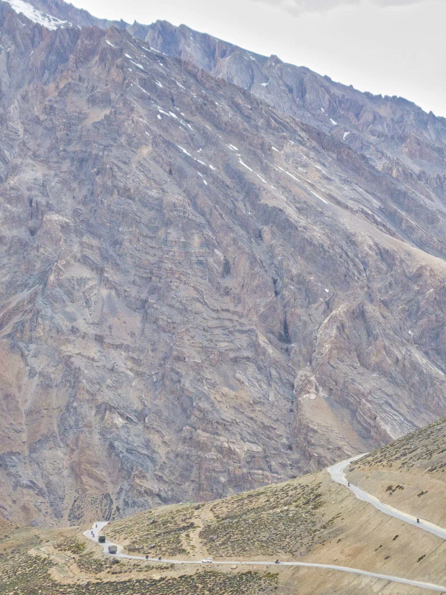
This section of the route took me 10 days of riding to complete. That is about 45k (28 miles) a day.
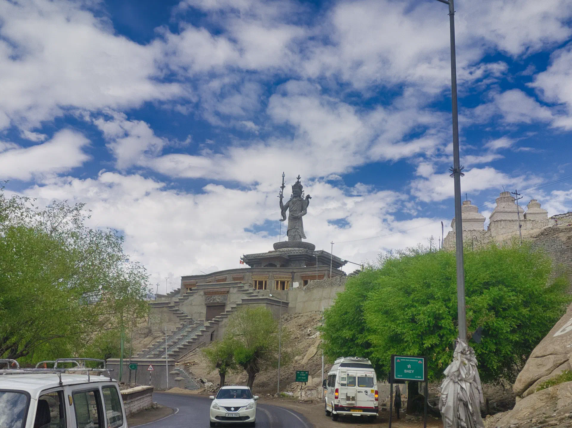
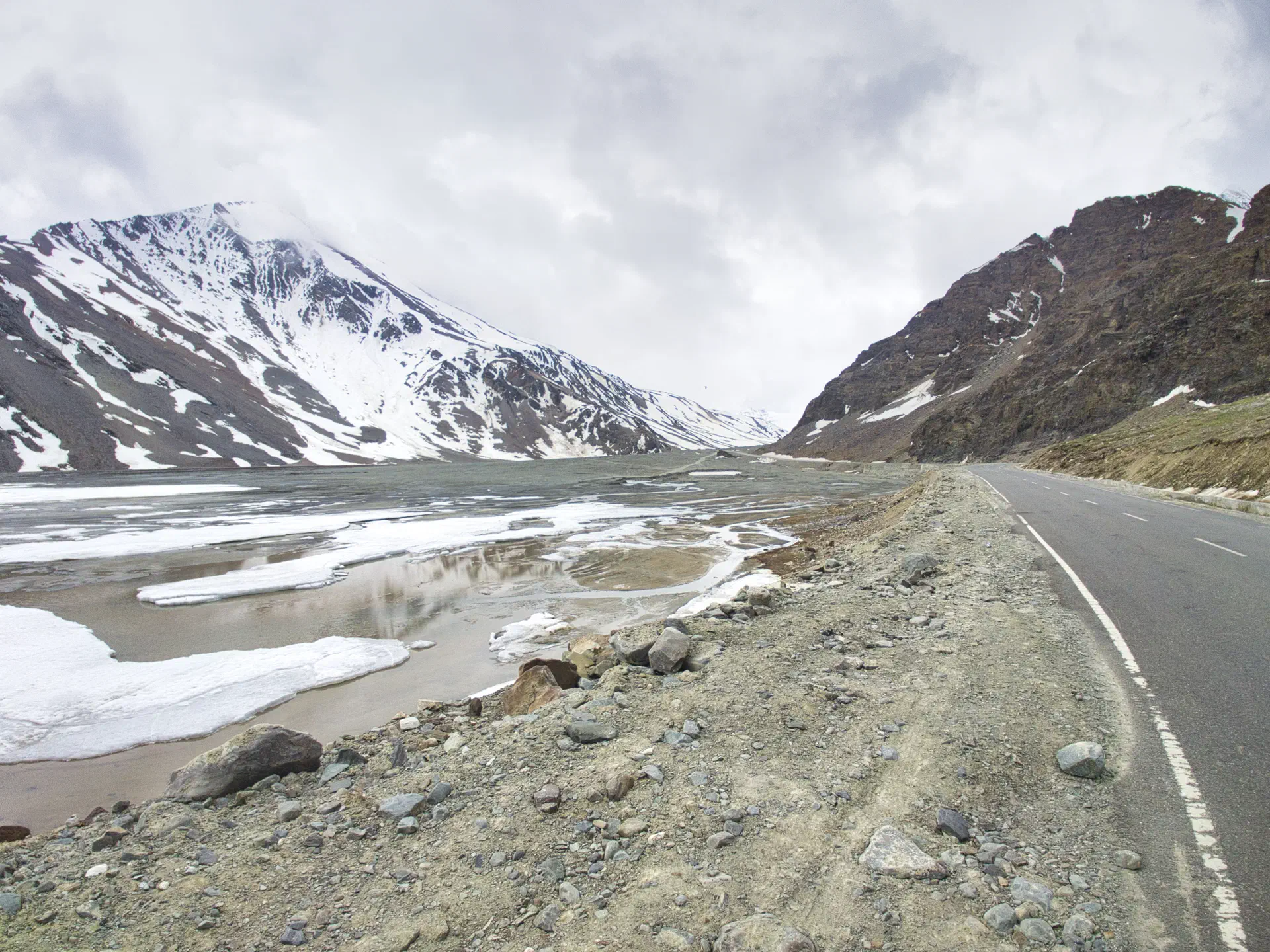
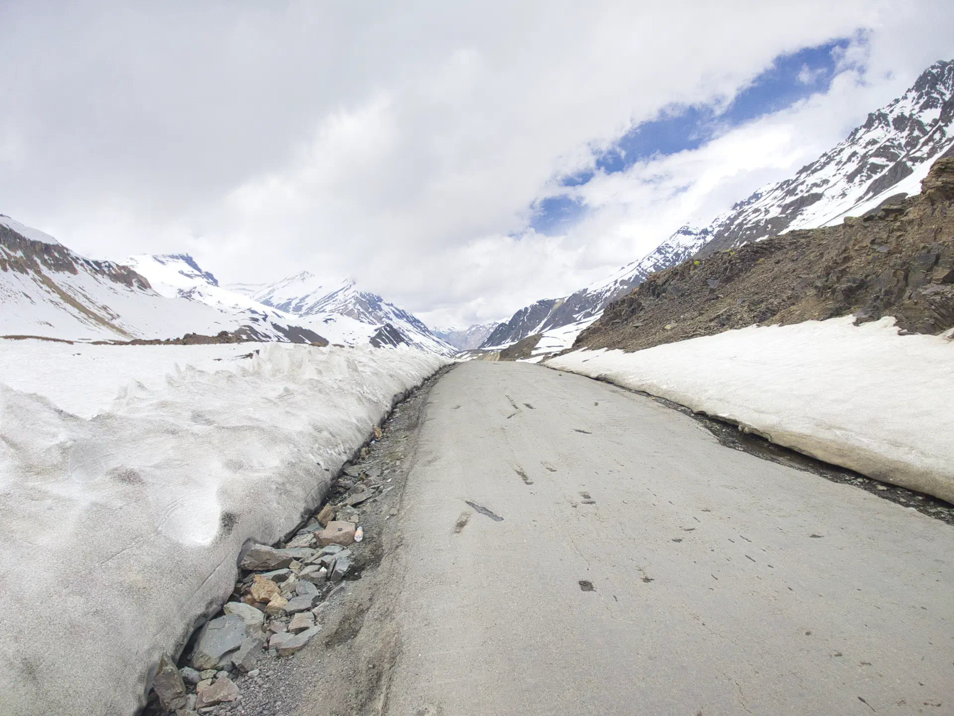
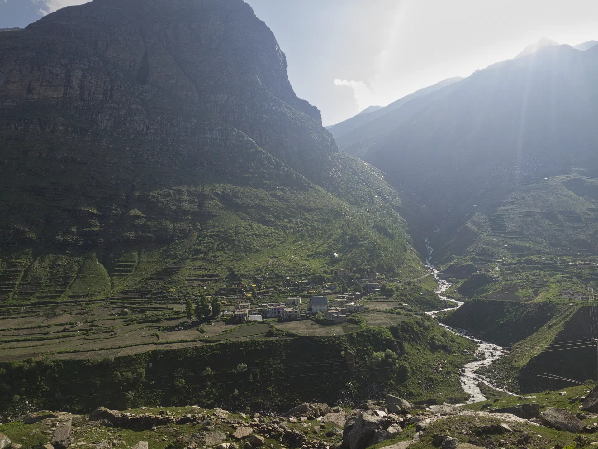
If you notice the photo of the signs for this section, these were all over the roads. There were literally (not exaggerating) hundreds of them. Each with funny, yet informative, verbiage. This photo is just one example of two signs close together. BRO stands for (Border Roads Organization - the group which makes the roads in these regions). HIMANK is the region in which this sign was located.
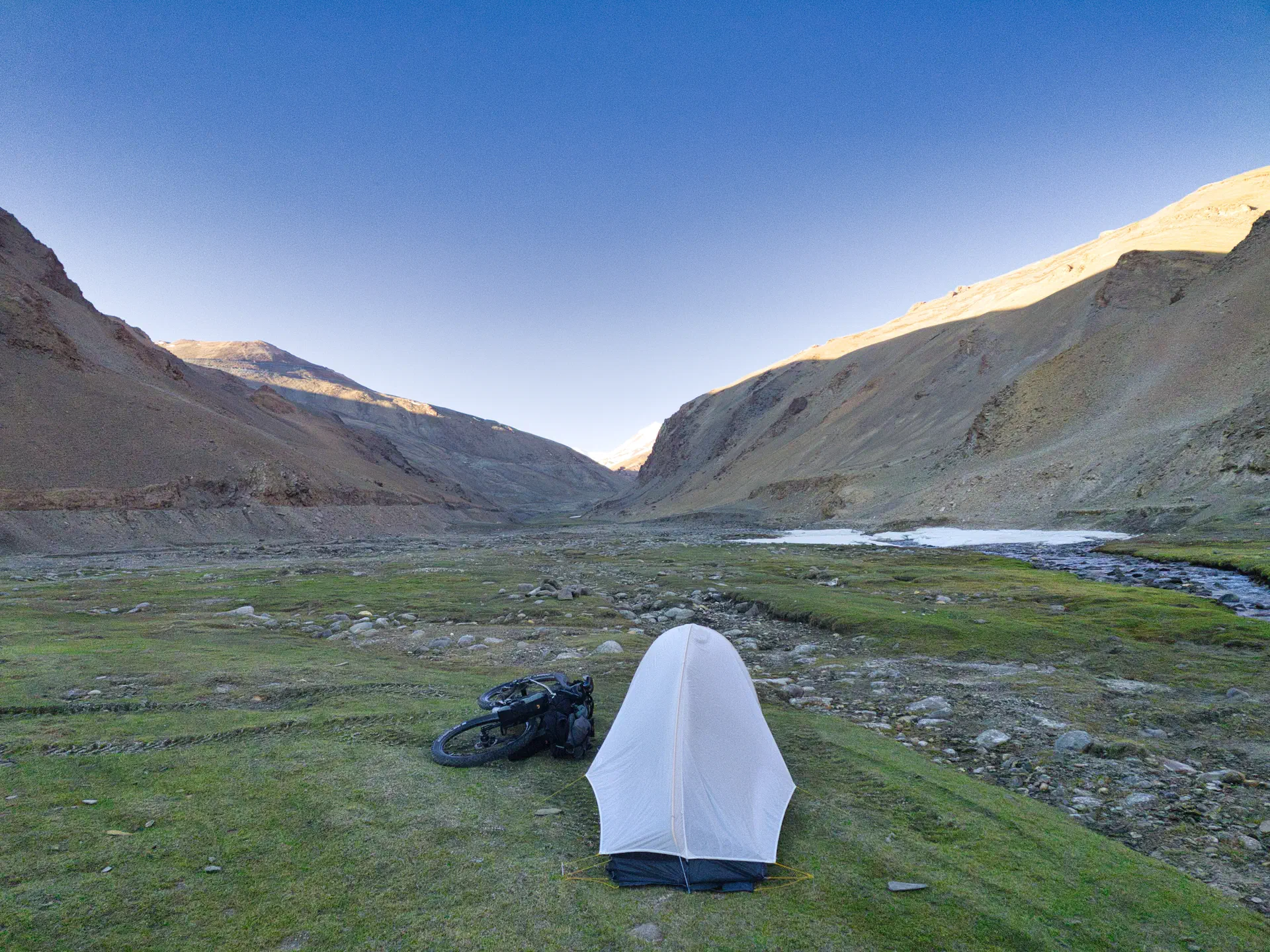
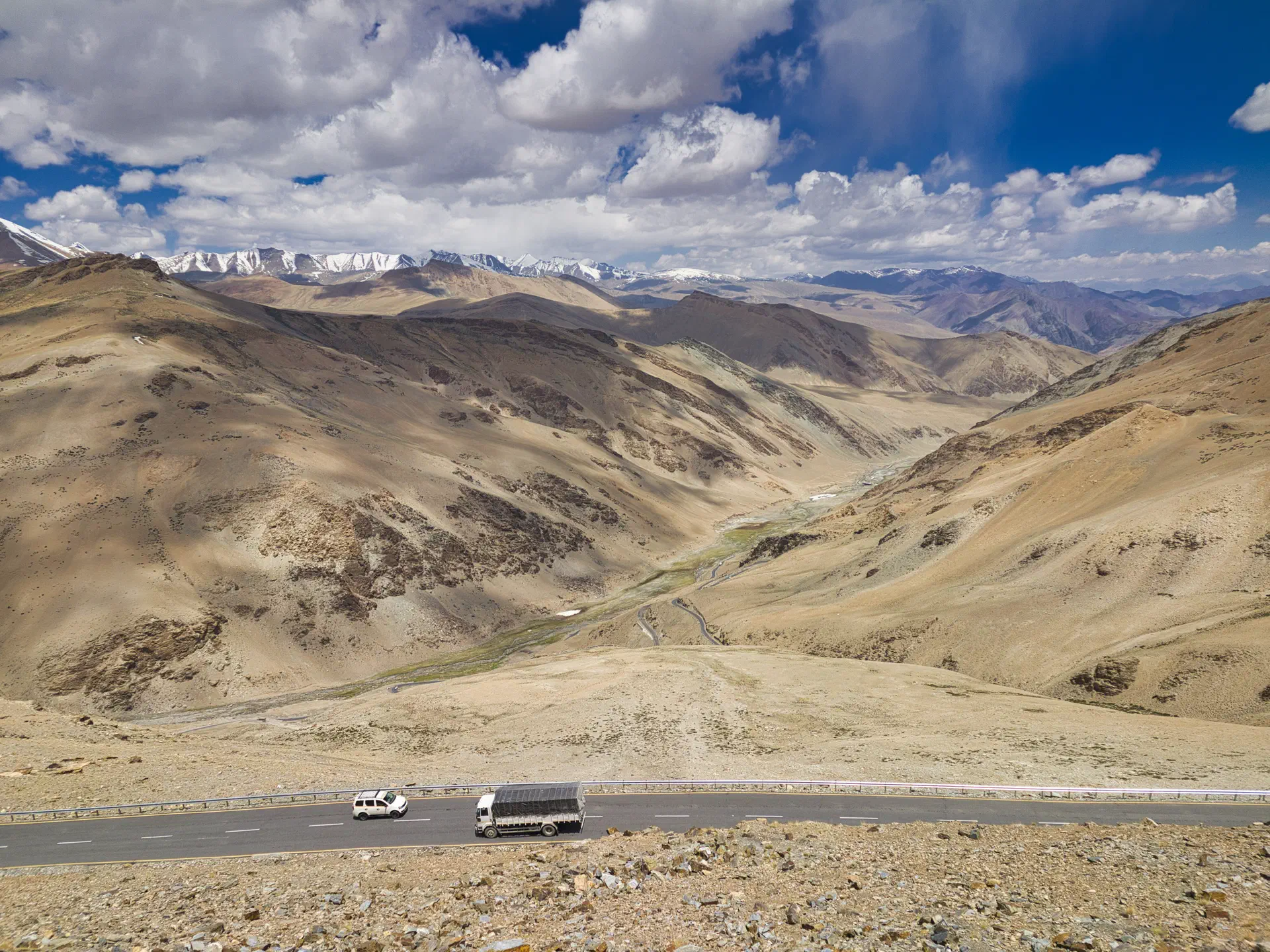
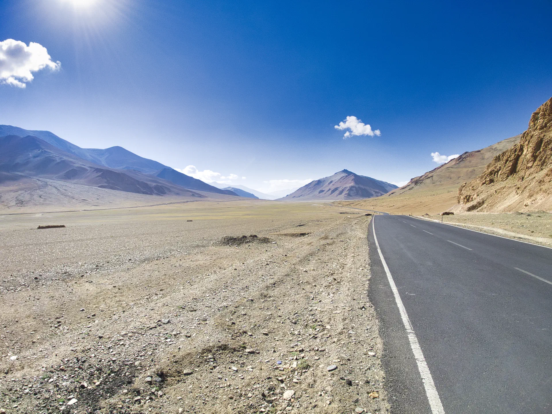
Spiti and Kinnaur Valley Section
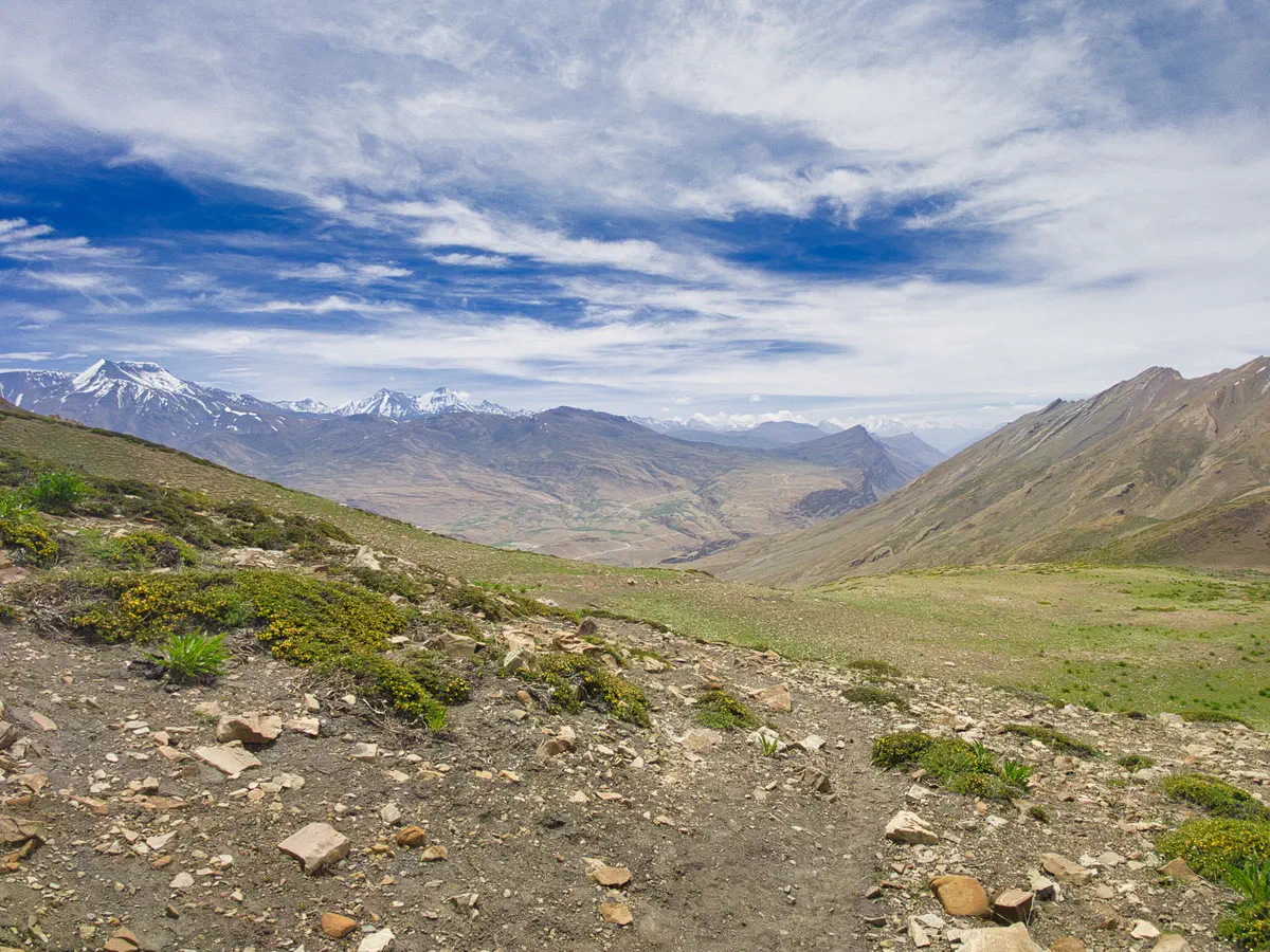
This section of the route is approximately 750 kilometers (470 miles) with three major climbs:
- Kunzam La - 4500m (14,763 ft)
- Nako - 3640m (11,942 ft)
- Narkanda - 2625m (8,612 ft)
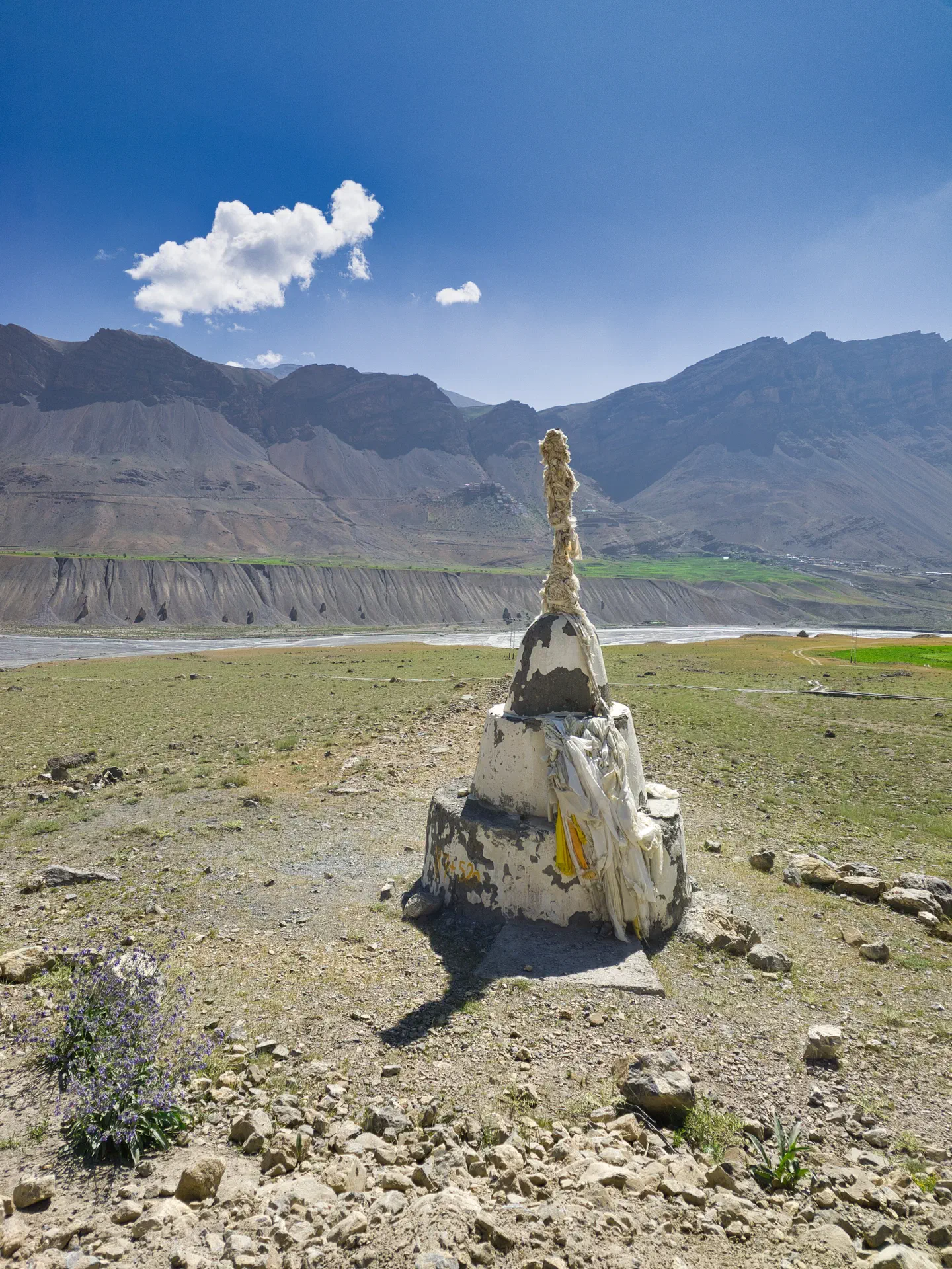
For a small, yet critical, portion of this trip, I needed to get an Inner Line permit in order to travel in that area. This was in the city of Kaza. It required going into a government building and getting the regional magistrate to sign the permit. A copy of my passport, visa, and passport photos were required. It took about 2-3 hours to get the permit. Why the permit? Because of the proximity to Tibet (China). Obviously, the Chinese claim portions of that region and there has been fighting on and off over it. Again, I ran into no problems.
Finally, one would think that the last climb to Narkanda would be the easiest of them all. It turned out to be one of the hardest. I had to break it up into two days, finishing the last 8k on the second day.
Why hard? Because it was much hotter, because of the lower altitude, and the climb was 32k (20 miles) of sustained, steep uphill. And when I say uphill, I mean in first or second gear all the way, with no real flat areas.
But once at the top, the rest of the route was pretty much all downhill (or flat) to the Shimla.
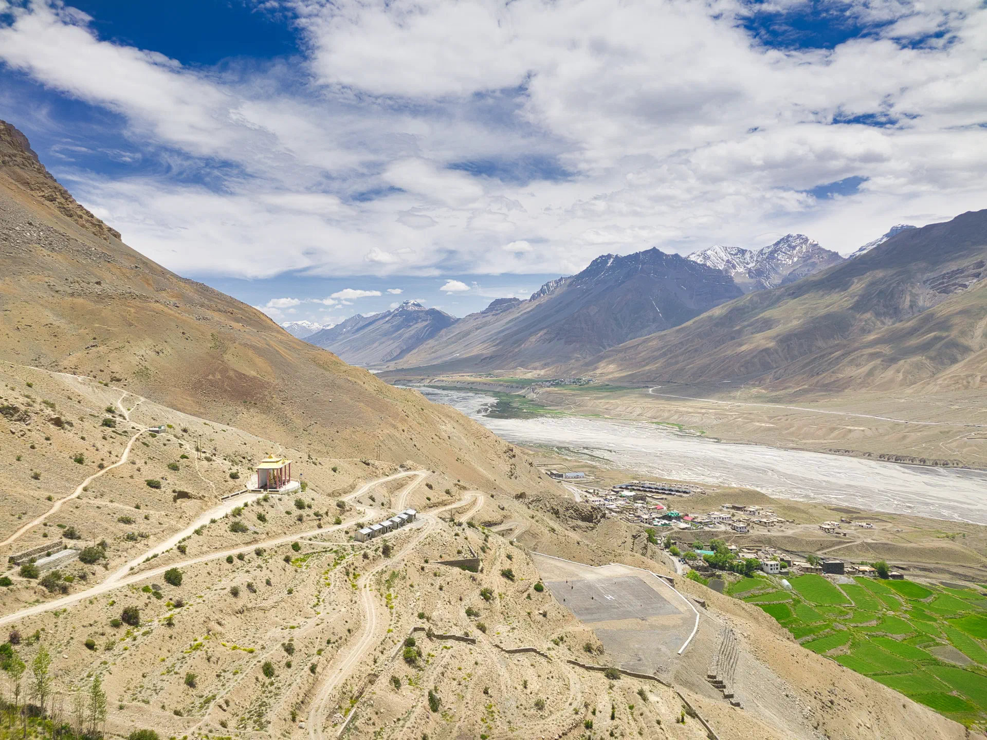
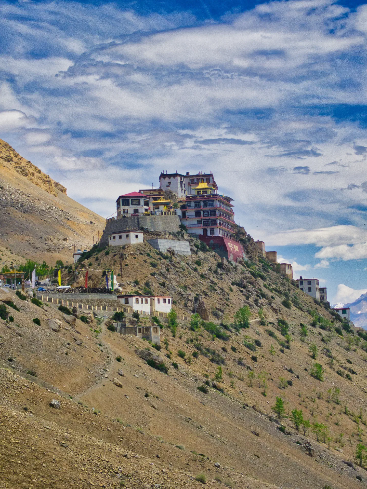
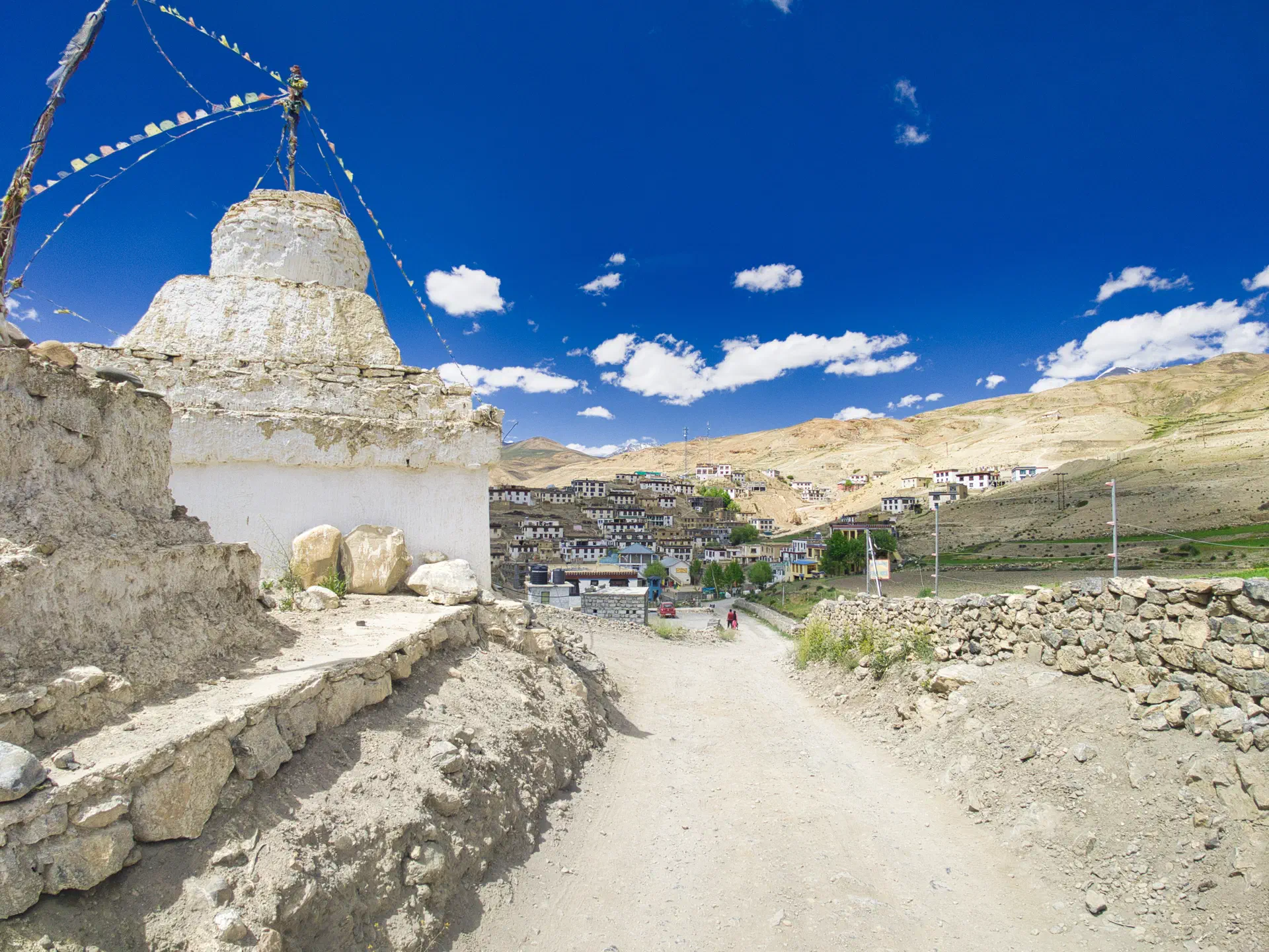
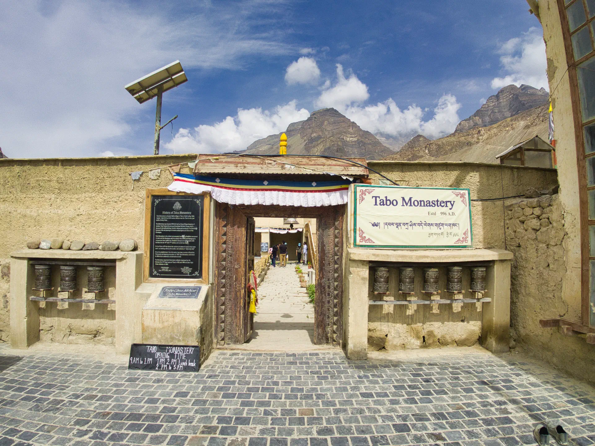
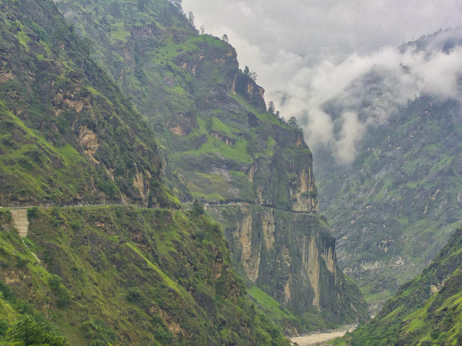
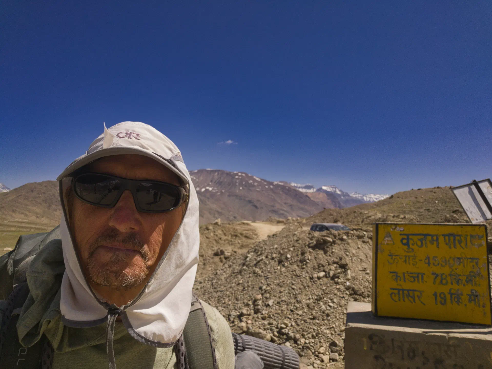
All-in-all, it took six weeks to complete the journey. I finished two weeks earlier than I had planned for originally.
When I couldn’t get the train from Shimla to New Delhi to take my bike (packed or unpacked), I knew the trip was over. This is an iconic 3/4 sized train, and one I was looking forward to taking. So, instead I had to take the bus, overnight, and flew out the next evening. Went straight from the bus (at 4:30am) to the airport, changed my flight, and flew out at 8pm that evening. There was no way I was going to stay two weeks in New Delhi.
By the end of the trip, I had lost a great deal of weight. Both from the daily workout and the lack of good foods. I mostly lived on nuts, dried fruits, rice with veggies (veg fried rice), and soup with veggies (thukpa and veg soup).
In summation, I really liked Shimla, Leh, and Srinagar (in that order). But, there were a bunch of small villages that were very interesting. And, there was a large number of cool religious sites that I couldn’t take any pictures of (because they aren’t allowed).
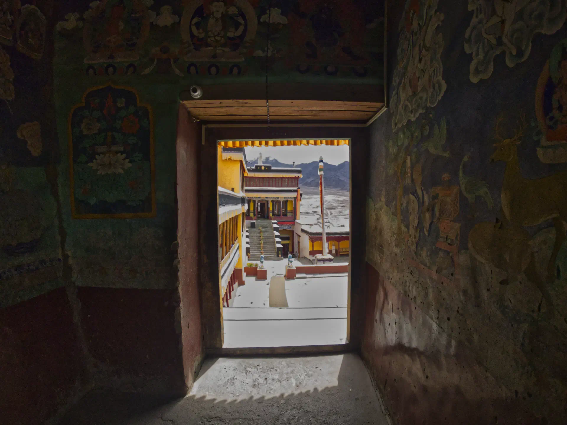
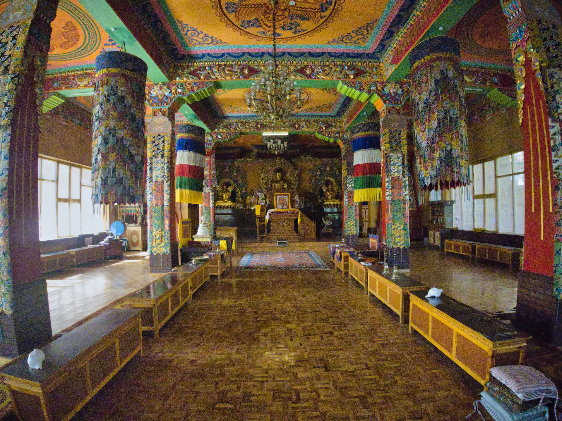
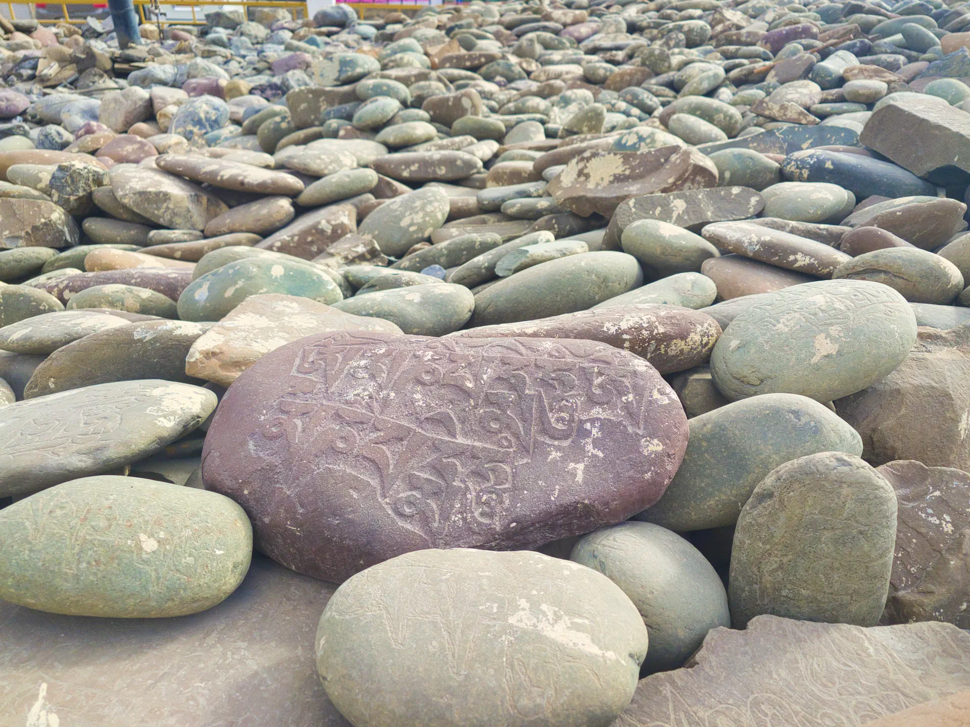
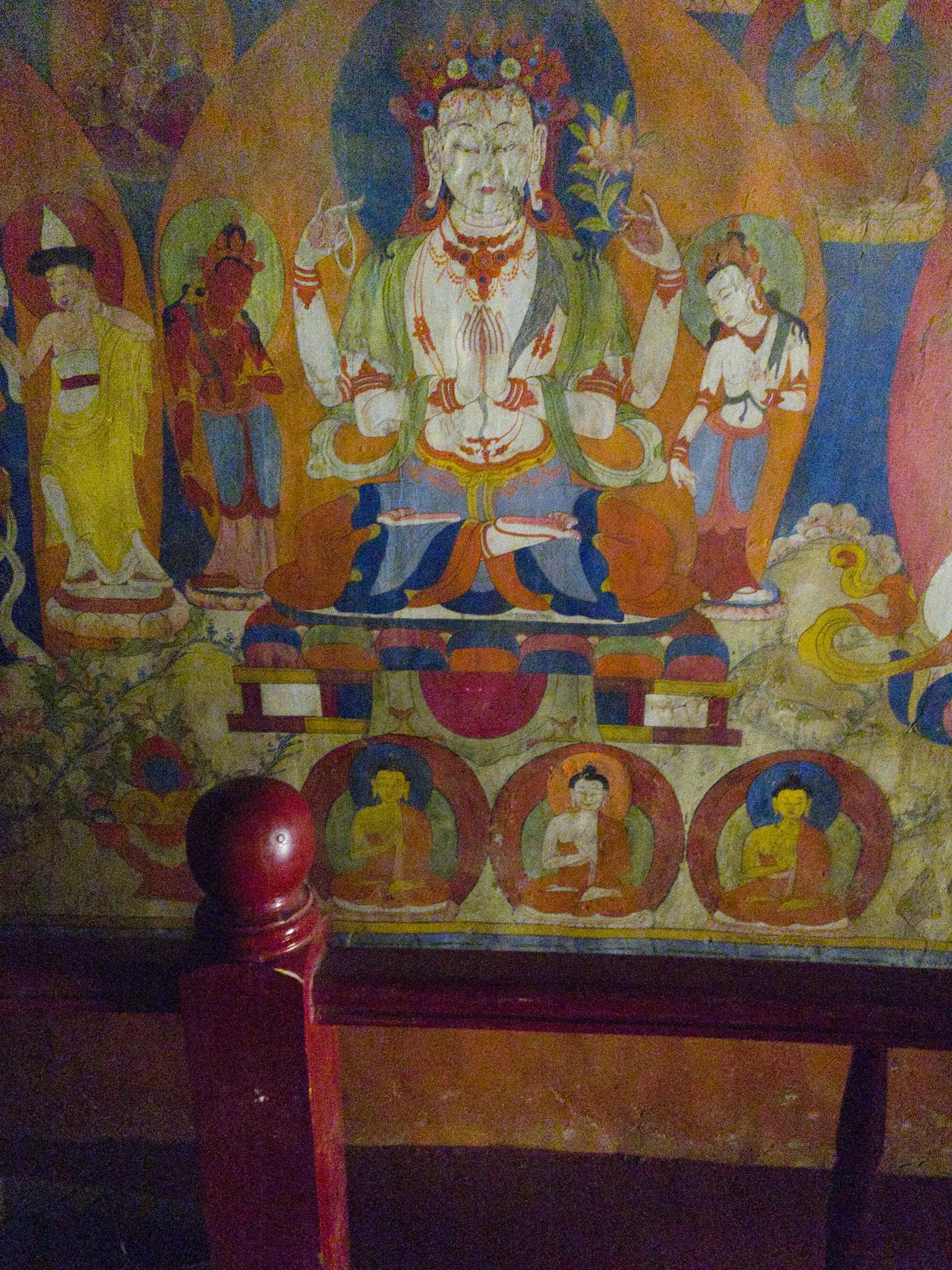
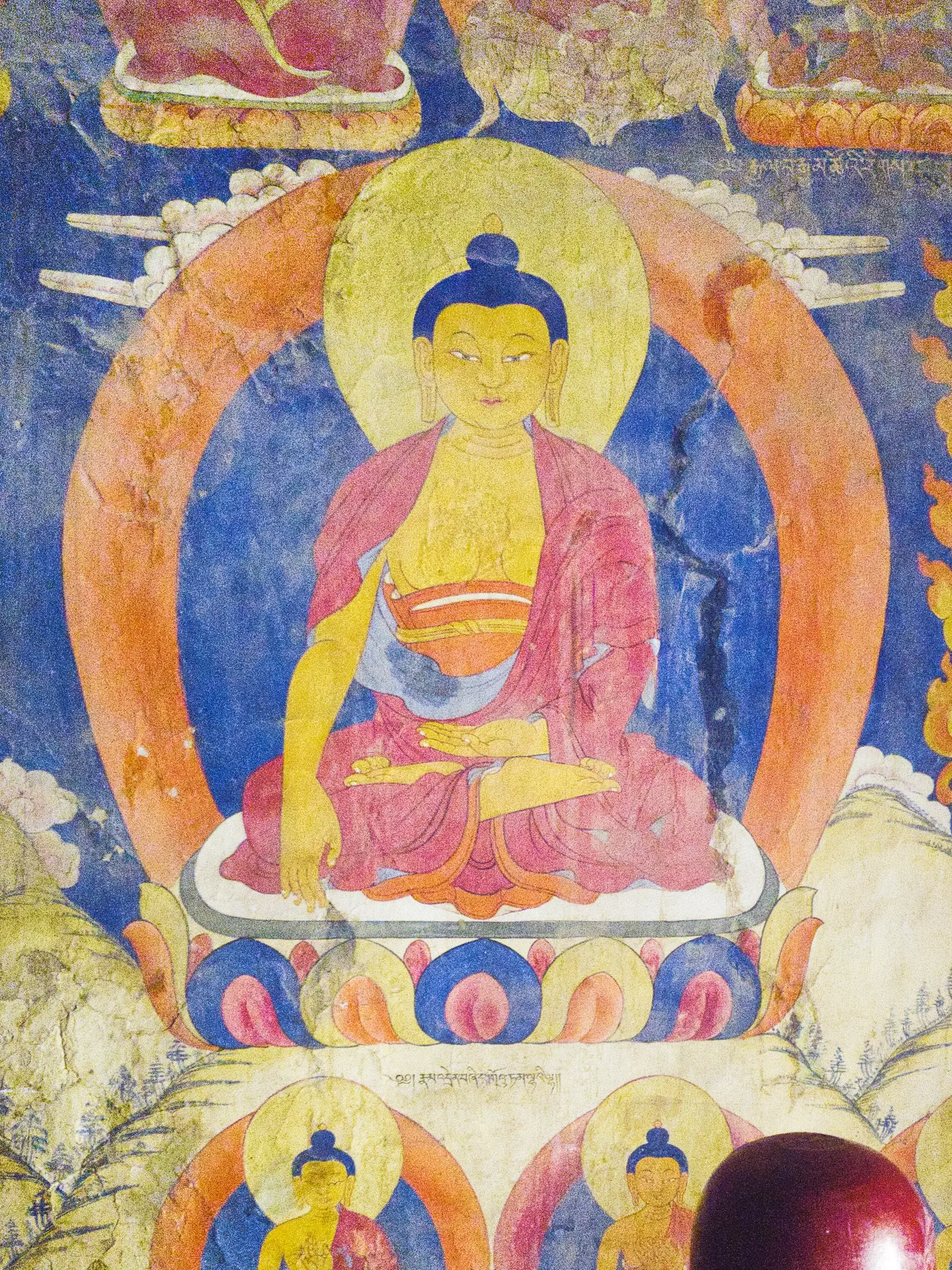
The photos above that are from the inside of the Tabo Monastery I got in trouble for taking and was kicked out. There was clear signage not to take them, so I fully support their decision. Those were the only ones I broke the rules to take. The photos from inside the gompa in Kaza and the Buddha carving were permitted.
As with all these write-ups, I’ve only shared about 20% of the actual story of the trip. You would have to speak to me in-person for the rest of the story…