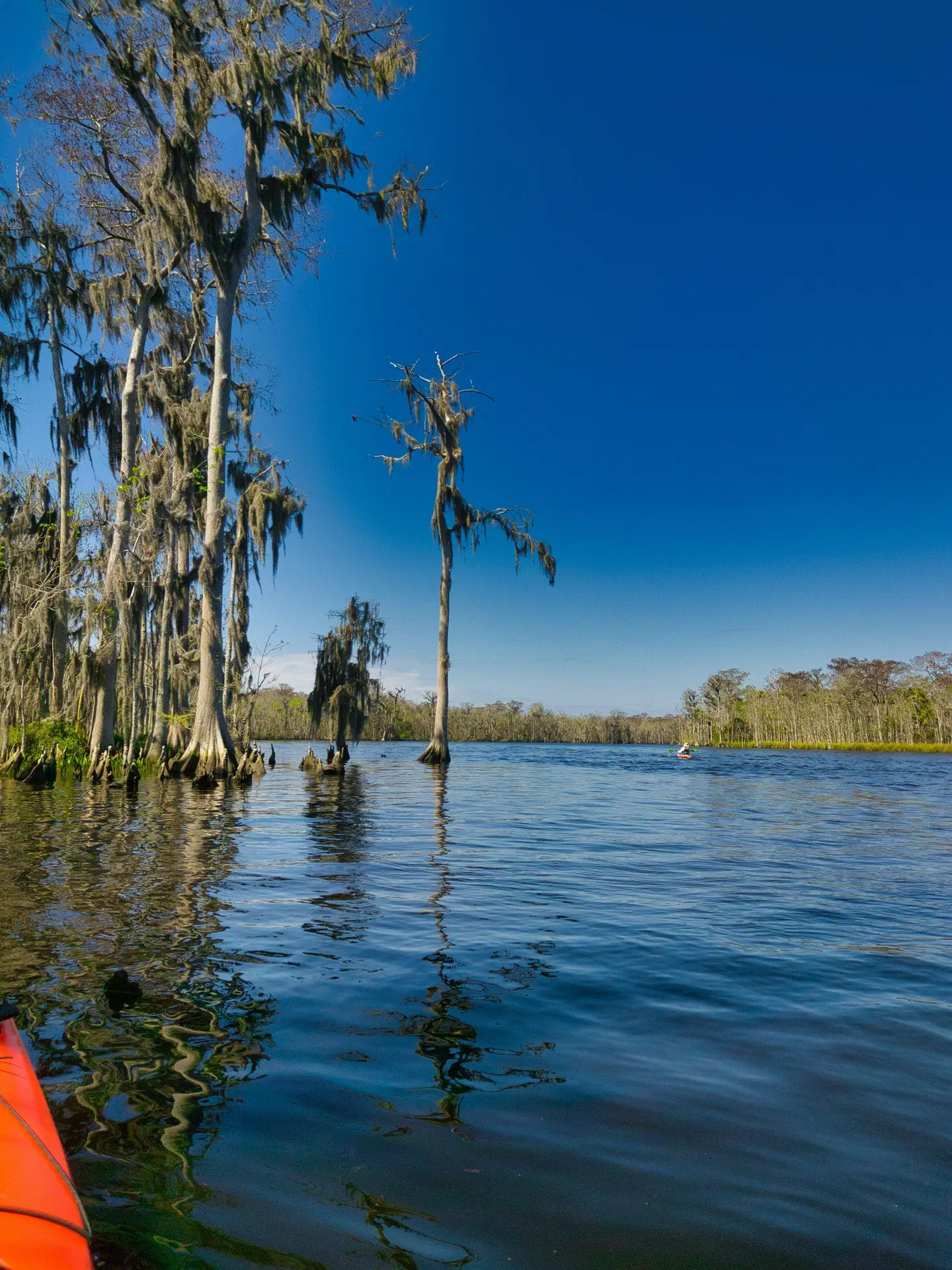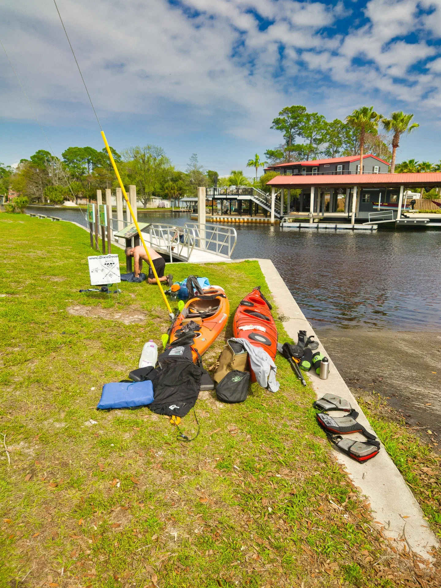
Since my 2020 trip partially down the river (70 miles), I’ve always wanted to to the river end-to-end. But, my usual float partner, Tim, had no interest in doing the entire river. Then I ran into a mutual friend (Rick) who always wanted to to the river by kayak. So, we arranged a date, and gave ourselves a 10 days to do the entire trip in. The river was flowing very quickly, so we were able to float the entire river in seven days.
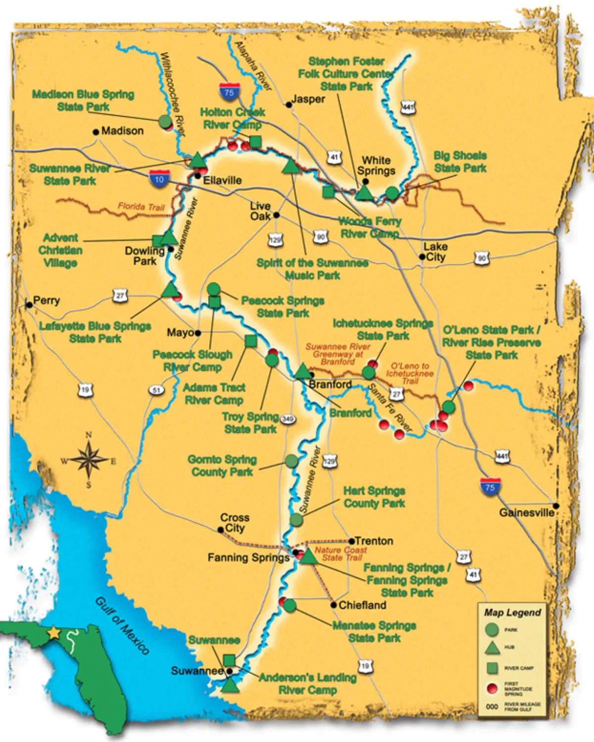
If you don’t know, the river is about 245 miles long, This number varies based upon actual start and end - which is debatable. Regardless, it starts in Georgia, wanders through northern Florida, and ends up in the Gulf of Mexico.
I would say that the river is easily divided into three general sections:
- the upper part - which remains relatively remote and undeveloped
- the middle part - which is somewhat more developed
- the lower part - which is less developed, but turns more into what one would think of as salt water swampy (rather than fresh water swampy)
Rick decided that instead of leaving cars at either end, we would use a shuttle service to drop us off and pick us up, and we would leave the cars with on their property. This worked out well - although, I still prefer to do it all on my own.
(Don’t forget, you can click on the images to expand them)
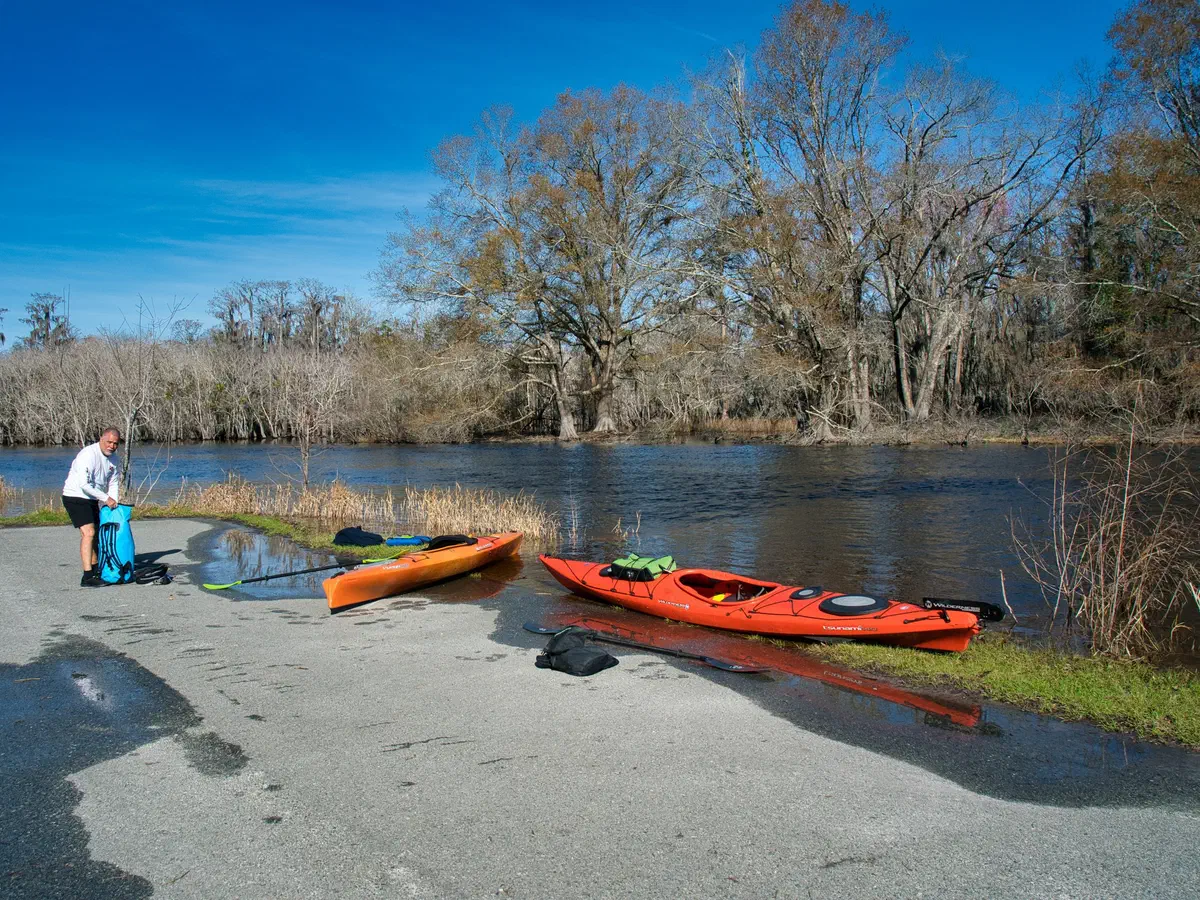
The upper section of the river...
We put in at the Okefenokee National Wildlife Refuge, just after the dam. You can put in a little further up river, but then you have to portage around the dam. We decided that was too much work.
On my 2020 trip, we decided to put in at Fargo, GA - about 20 miles down river. I recommend putting in here instead, because there is some beautiful swamp scenery that you will miss if you don’t.
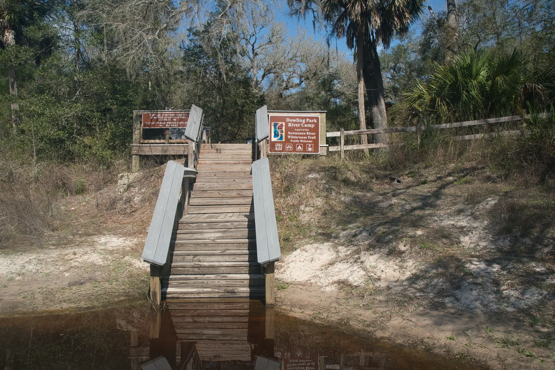
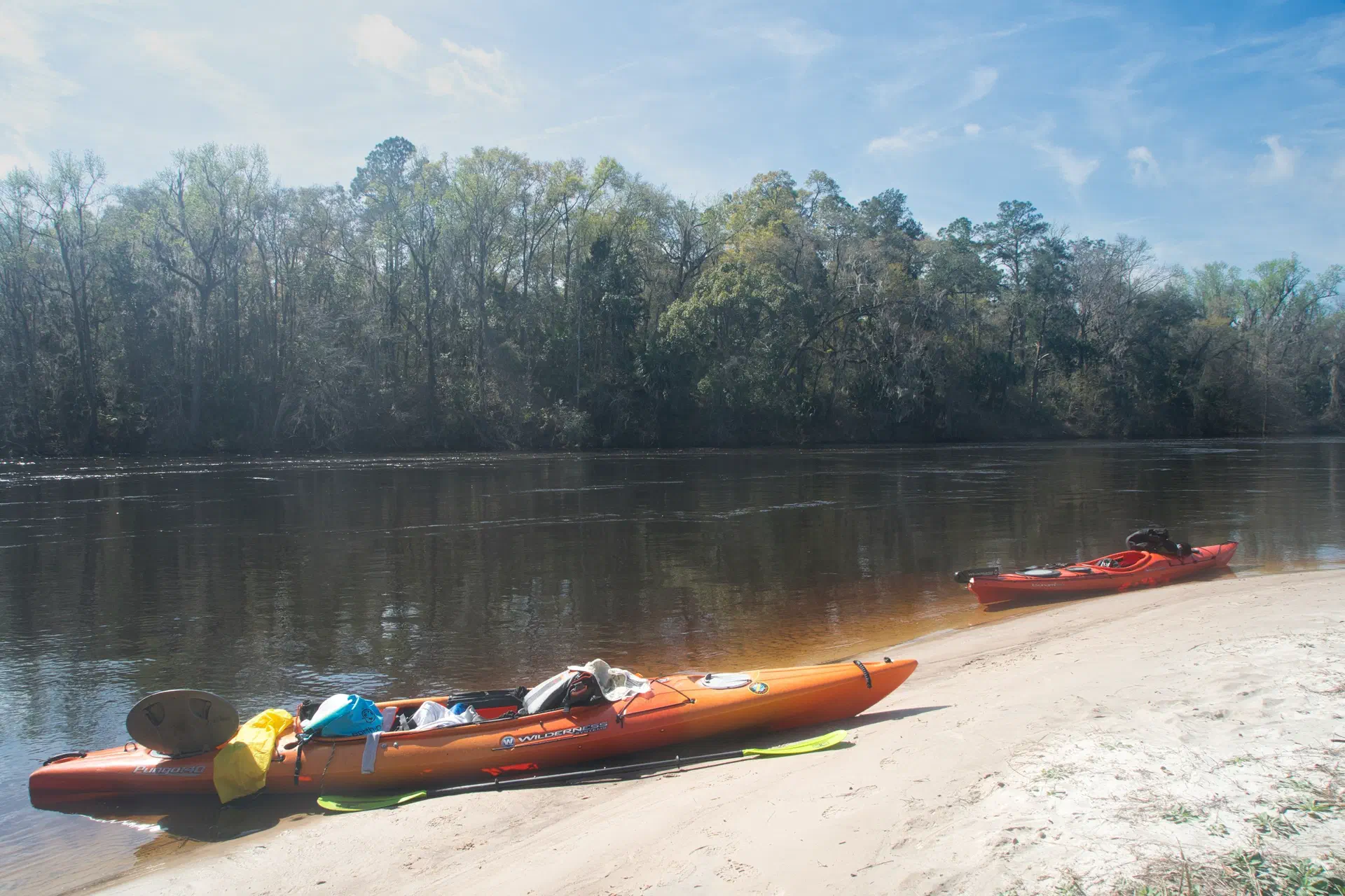
The upper part of the river has primitive camp sites and free camps dedicated to the river. It is the prettiest section, from a river and remoteness standpoint. This is also the section that I took the most pictures. This area can easily be done in 3-5 days.
The most treacherous part of the river is in Big Shoals state park were the river has a class 3 rapid - the only one in Florida. We decided to portage around the falls, rather than go over them, as most paddlers do. Other than that, this part of the river is spectacular and what you would expect the Suwannee to be like.
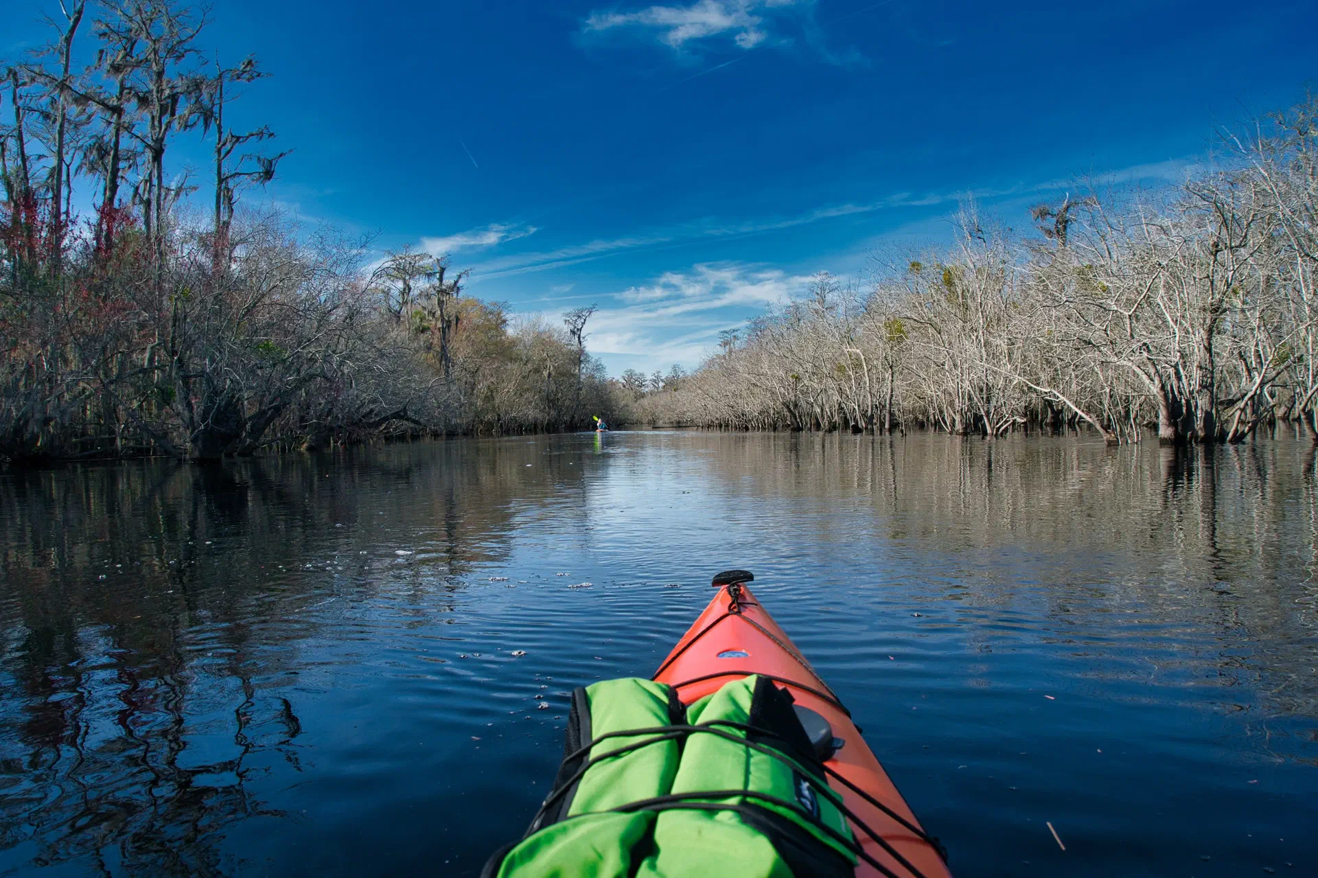
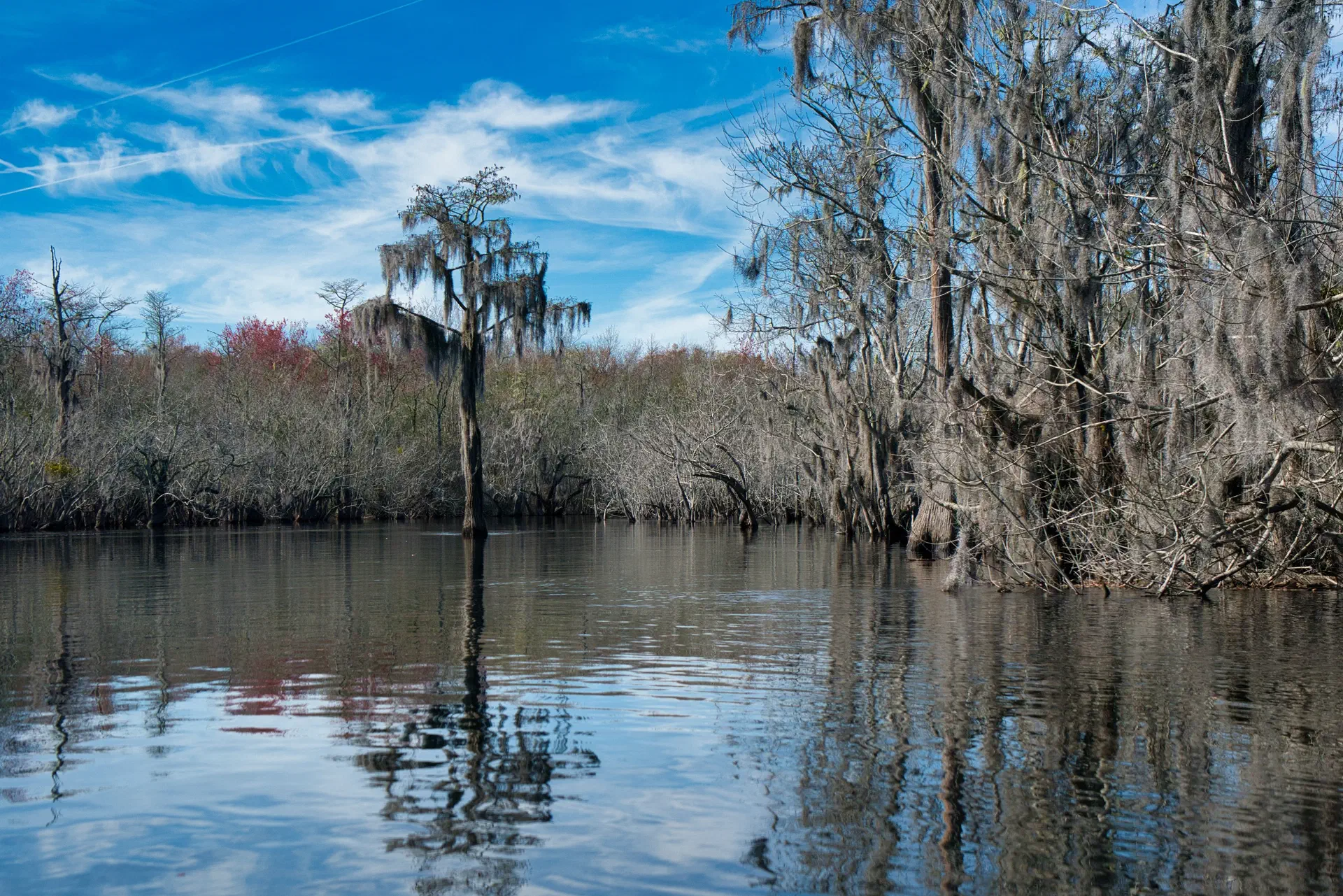
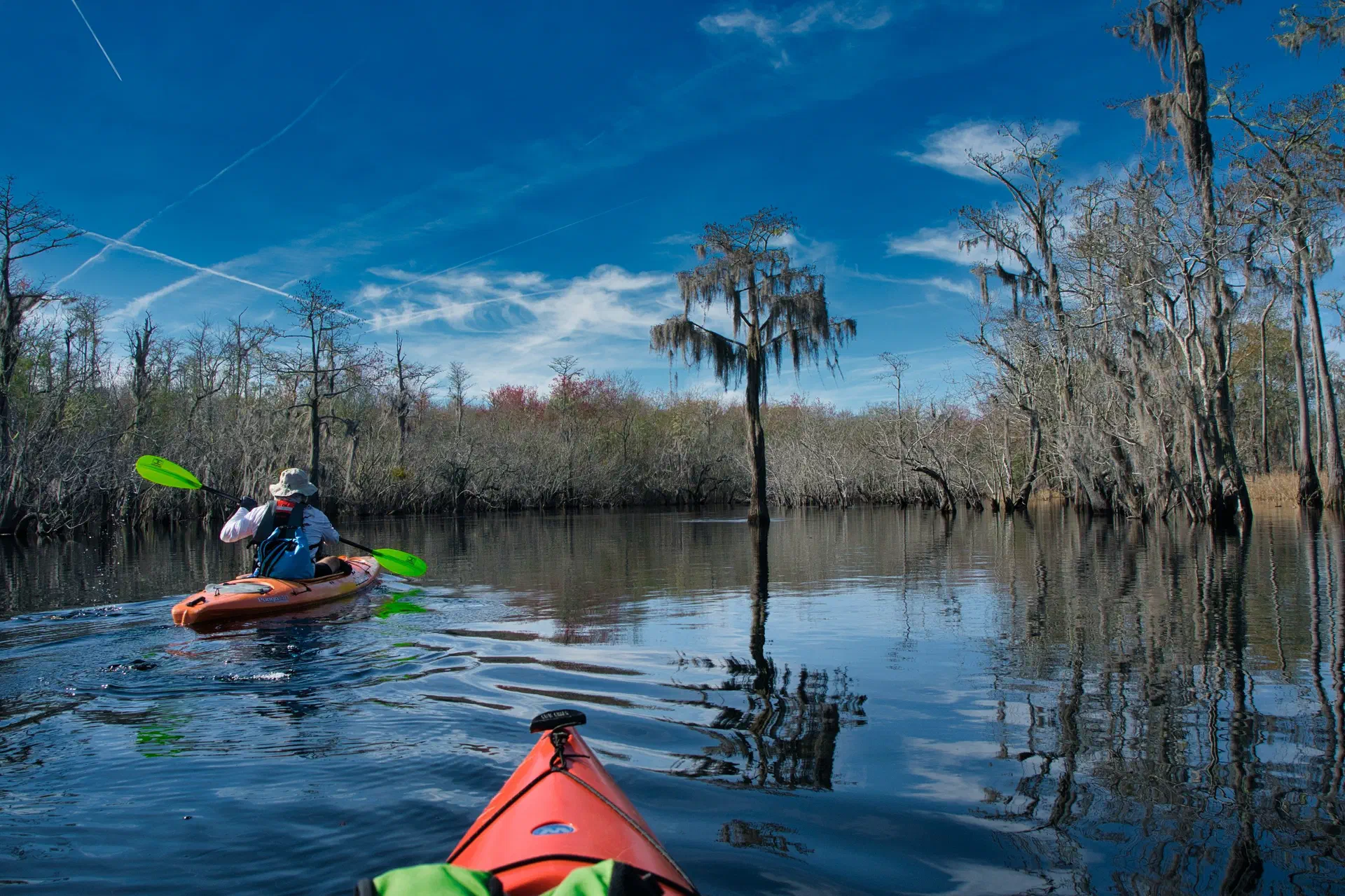
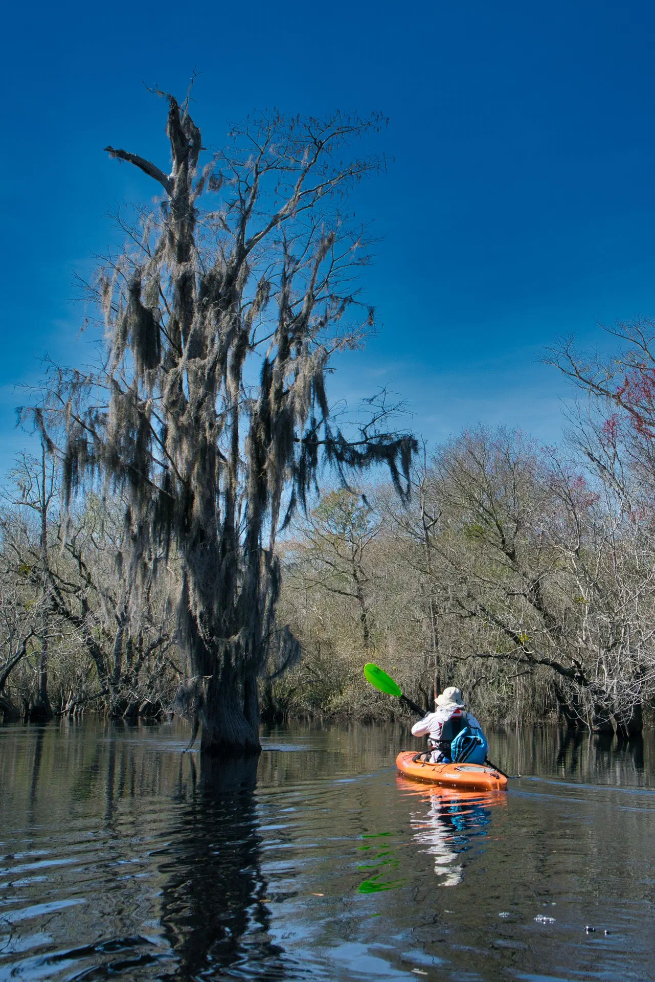
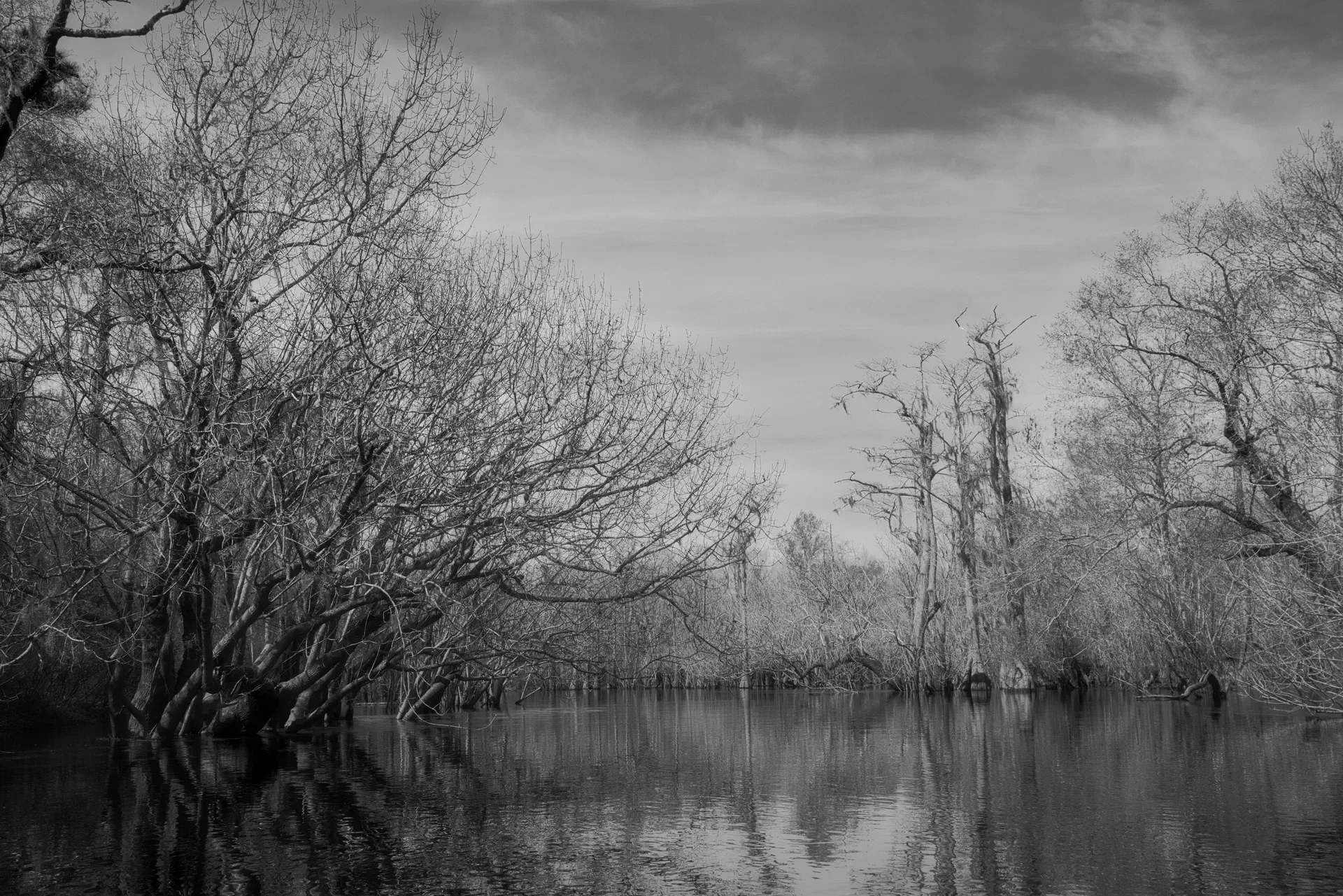
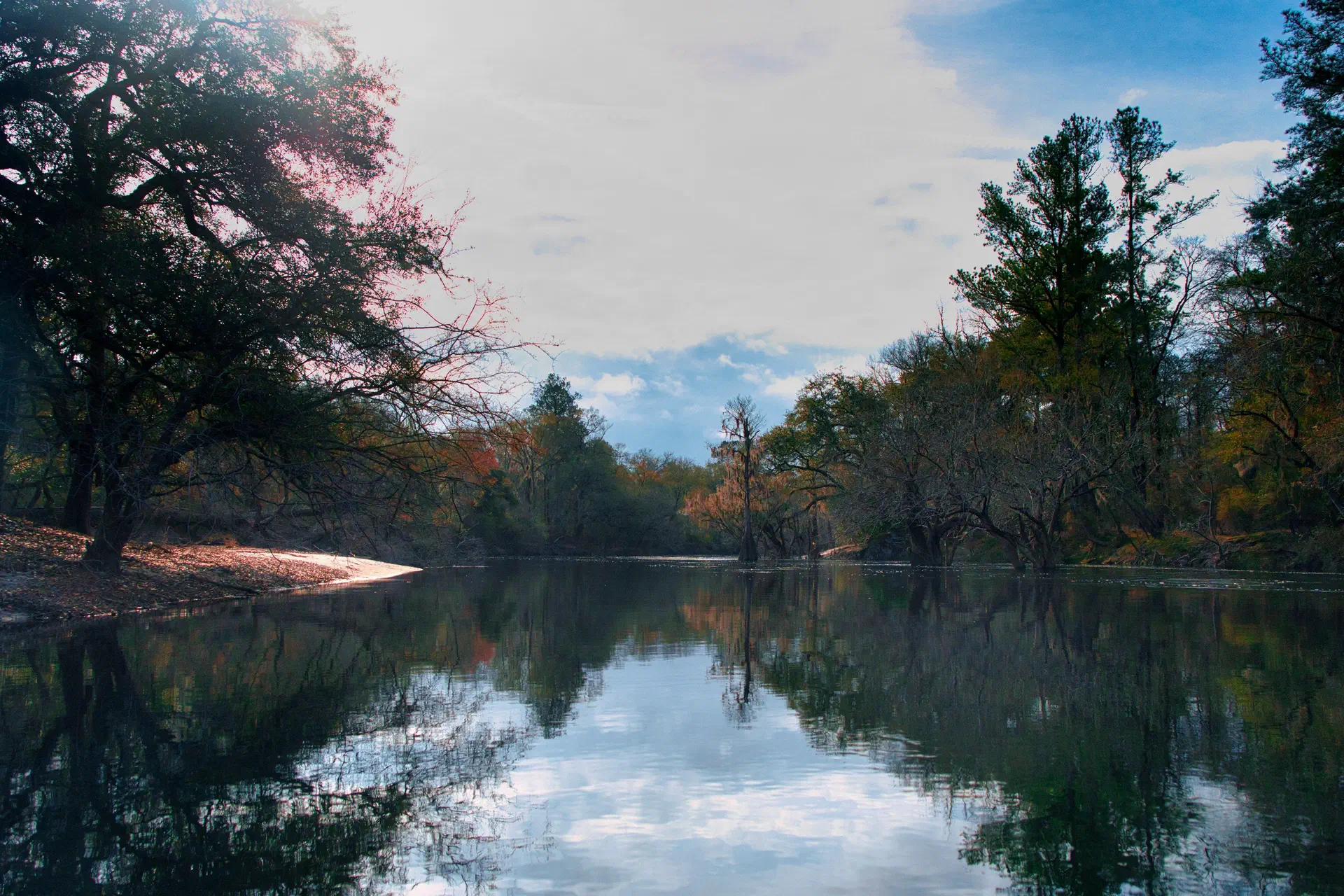
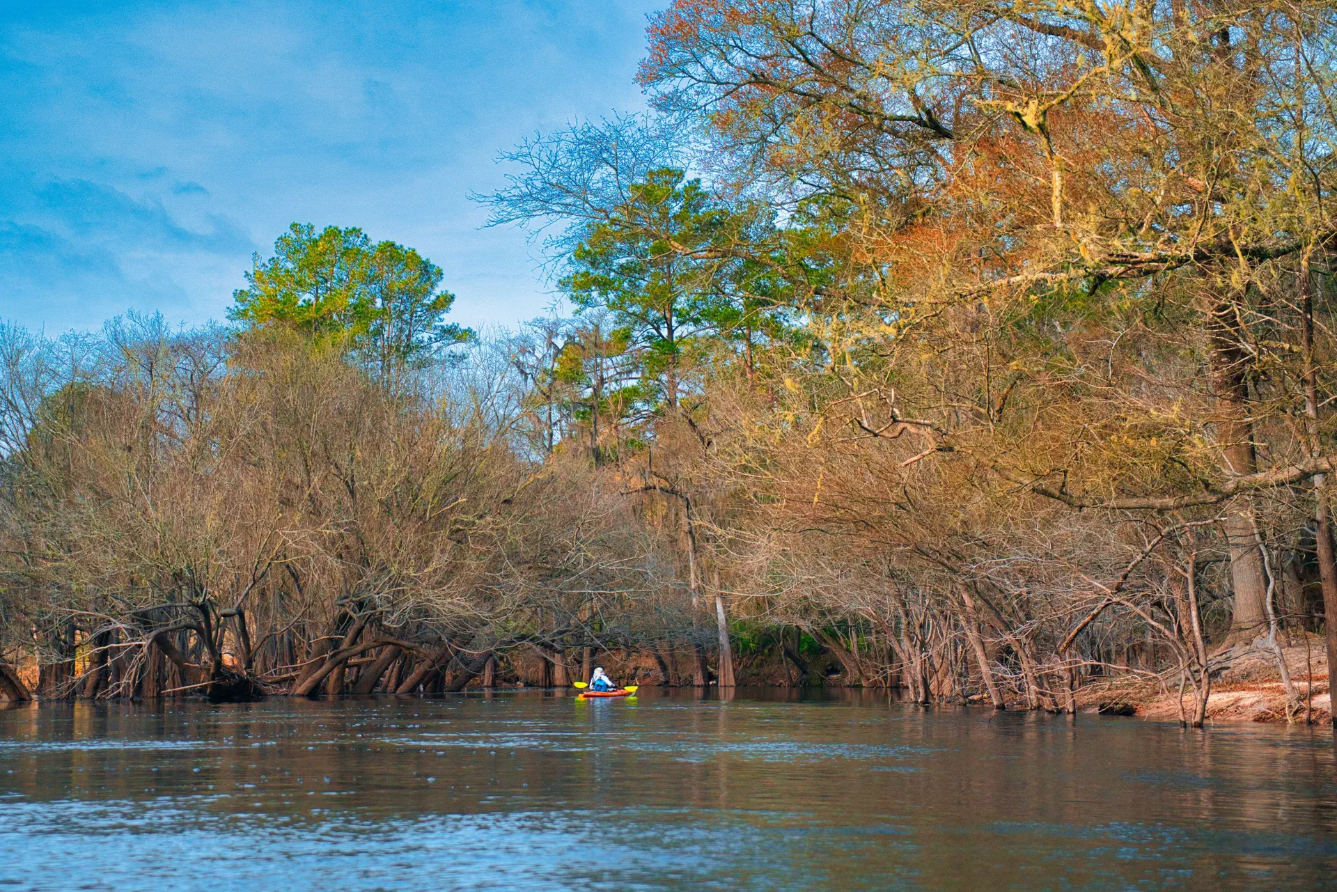
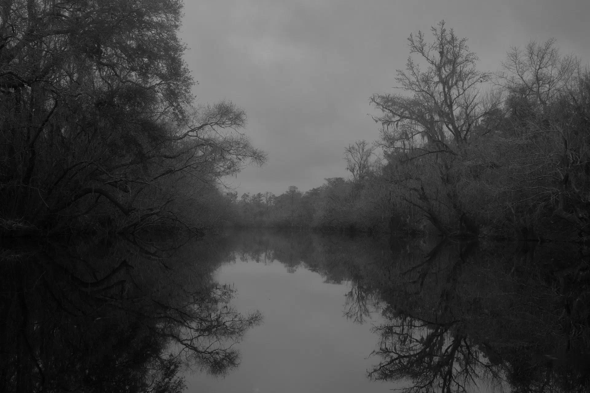
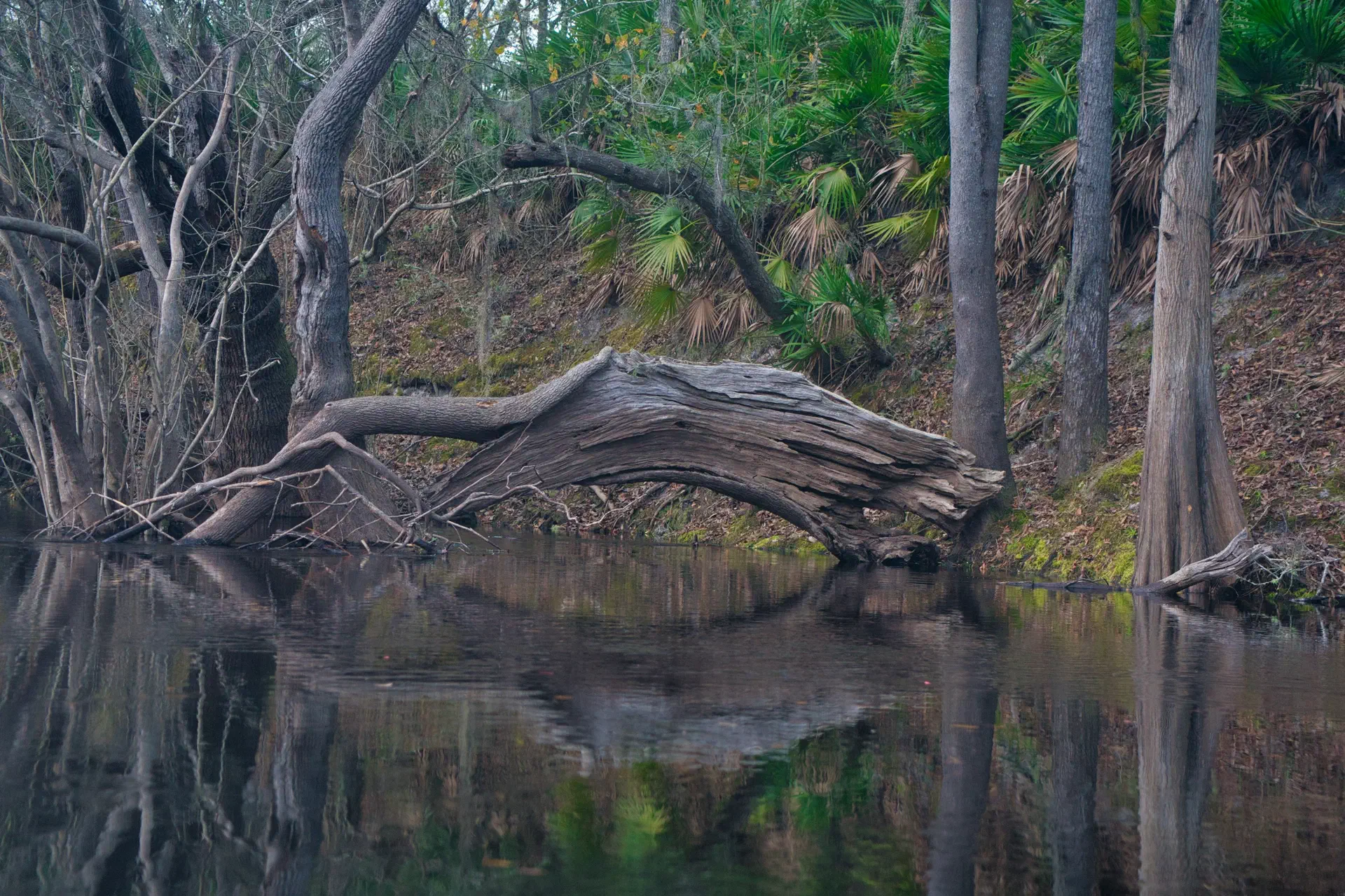
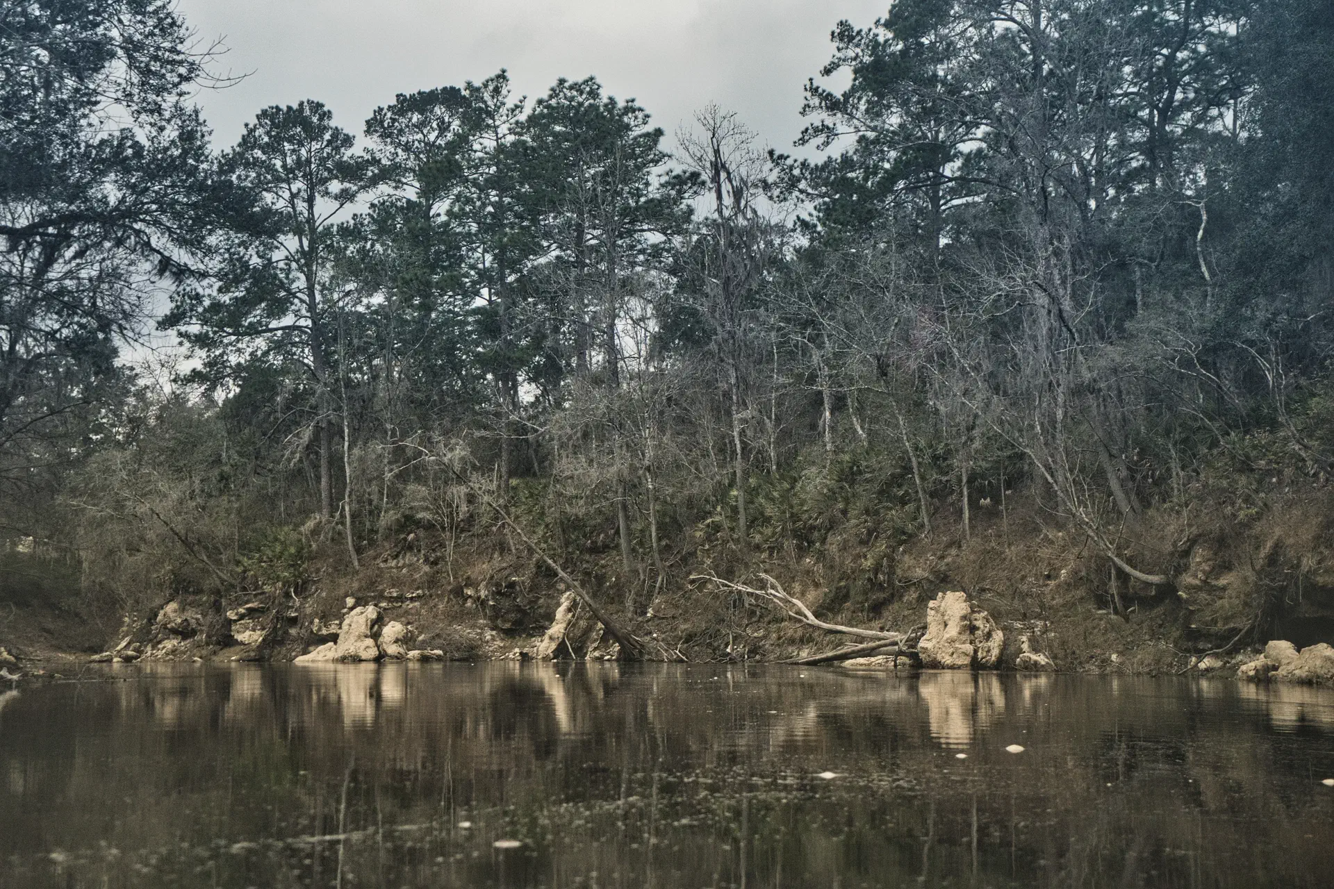
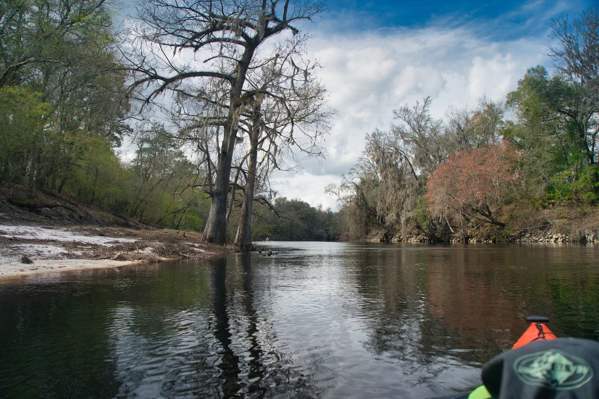
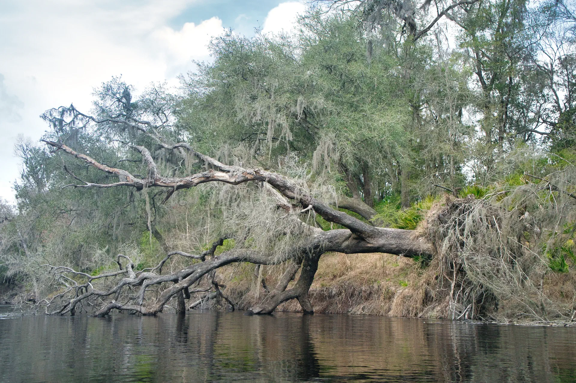
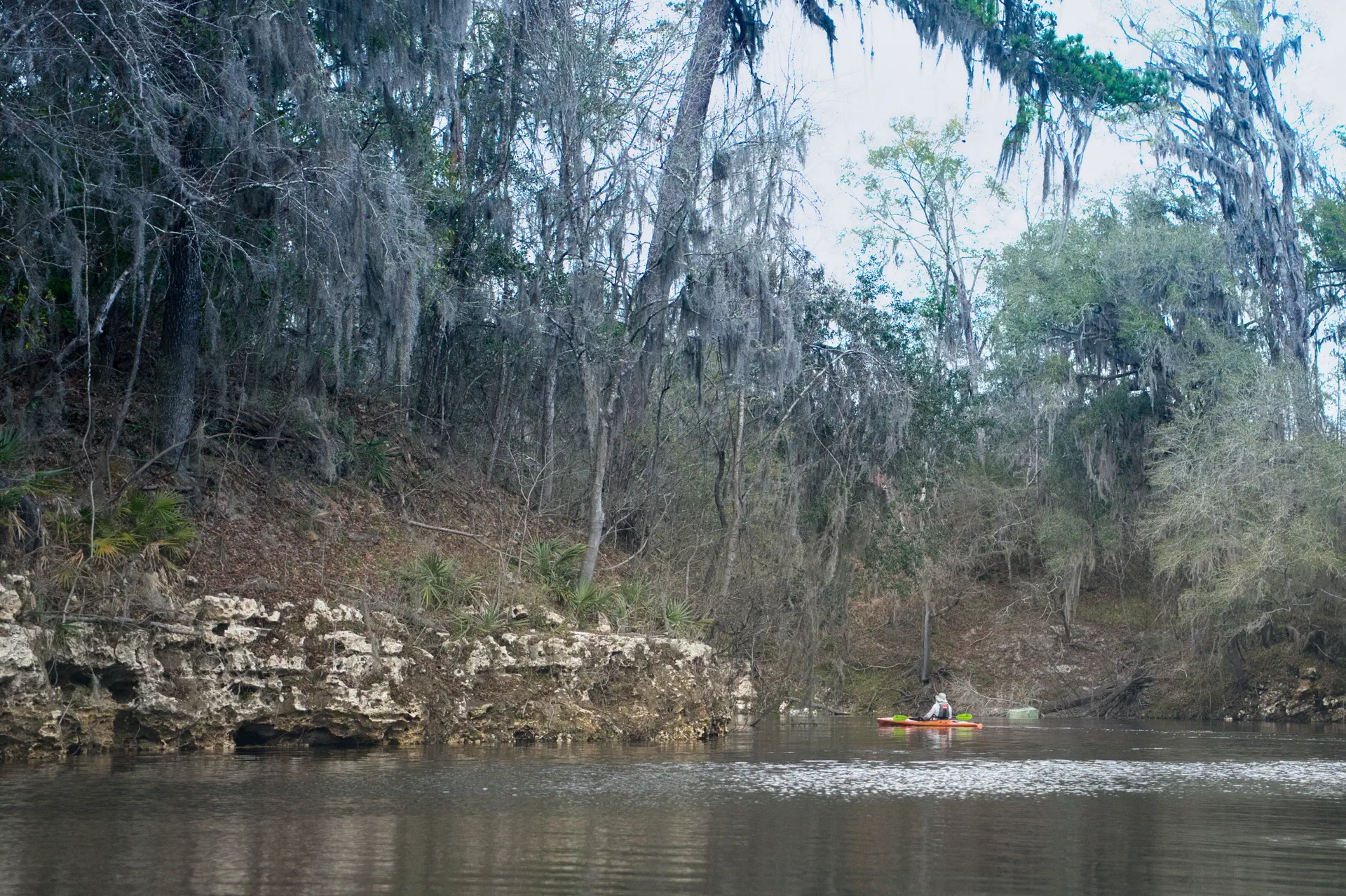
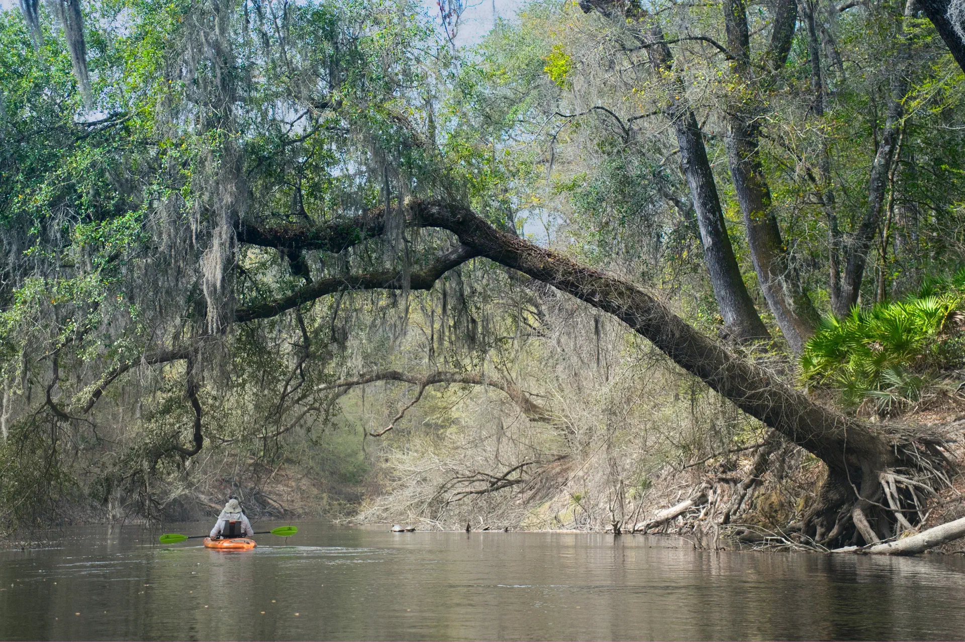
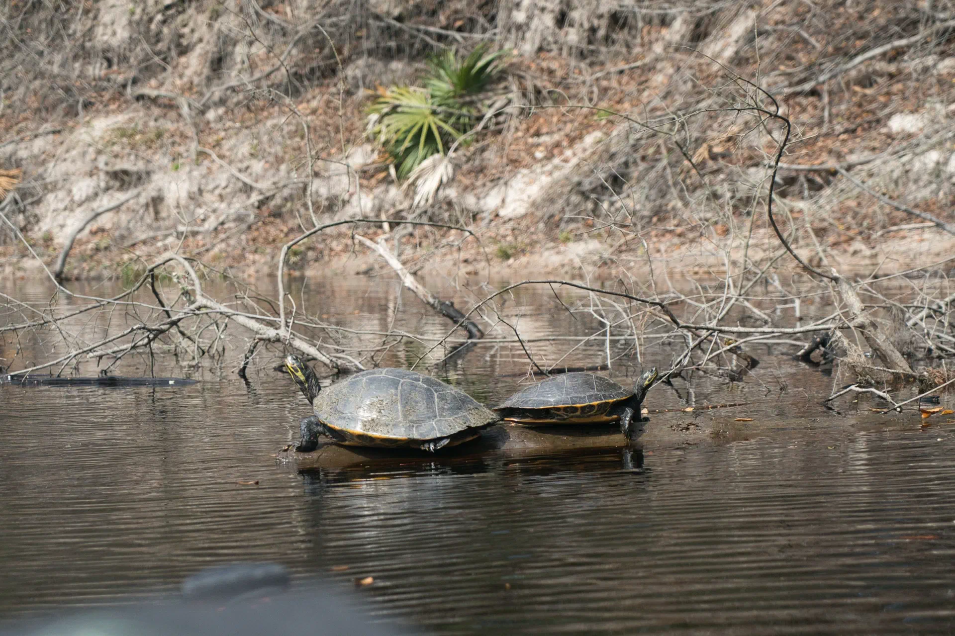
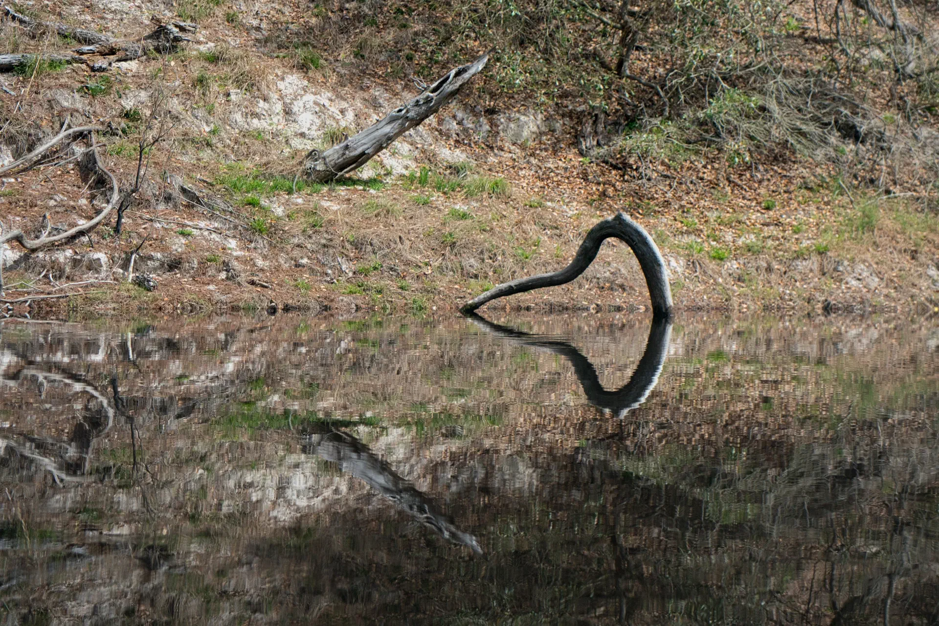
The middle section of the river...
The middle section of the river has mostly paid camping at parks, has more boat traffic (sometimes reckless), and runs through a number of small cities. But, it still remains somewhat remote. We decided to nickname this section of the river “the red-neck riviera”.
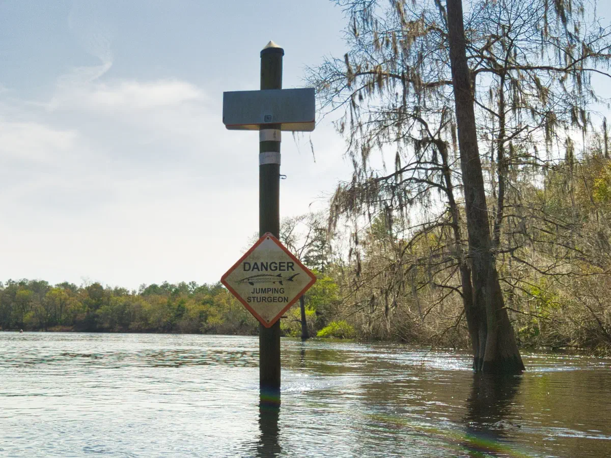
Also, this part of the river wasn’t very picturesque, so I didn’t take any pictures of it (other than the sign).
The one interesting part was the continual signs of jumping Stergeon. I surmise that the fish jump and hit passengers of the speeding boats on the river. Although, I did see a few fish jump, they just were not high enough to be a concern. Maybe they are more aggressive at different parts of the year and jump higher?
This part was definitely the least attractive section, and could be skipped. But, the trip was to do the whole river end-to-end.
The lower section of the river...
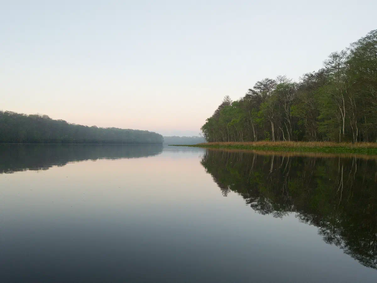
The lower section of the river has a lot less camping - unless you find a section, between camps, that has ground on it - like we did for our last night. But, this area has mostly mucky and/or swampy ground.
Also, the river widens greatly in this area and eventually dumps into the Gulf. It gets hard to determine exactly where the river ends and the Gulf Begins. So, we decided to go all the way past any remaining vegetation and paddle into the Gulf. We then returned through a secondary entrance and concluded at a the small town of Suwanne near the river’s end. This town has boat ramps and is where you can leave a pick-up car if you wish.
All-in-all we finished ahead of schedule, due to the fast pace of the river, and had a great trip - without incidence. I was able to accomplish something I’ve wanted to do for a long time.