Remember:
- You can click on any of the photos to enlarge them
- You can click on the captions to see all the image text
On the way out
Leaving on July 3rd, to get to Montana, I took a northerly and then westerly route through Georgia, North Carolina, Tennessee, Missouri, Nebraska, Iowa, South Dakota, North Dakota, and then into Montana. I needed to be there in 5 days so, it was a little rushed. But, I did get so see a few interesting things…
Following Lewis and Clark
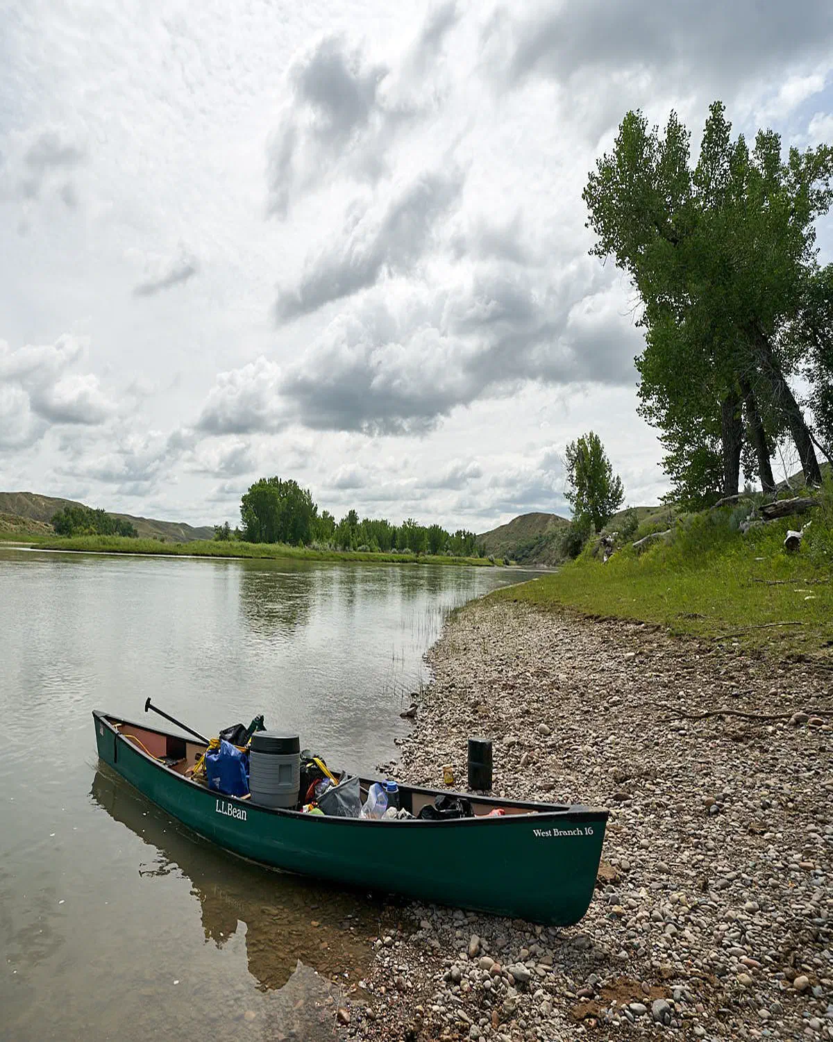
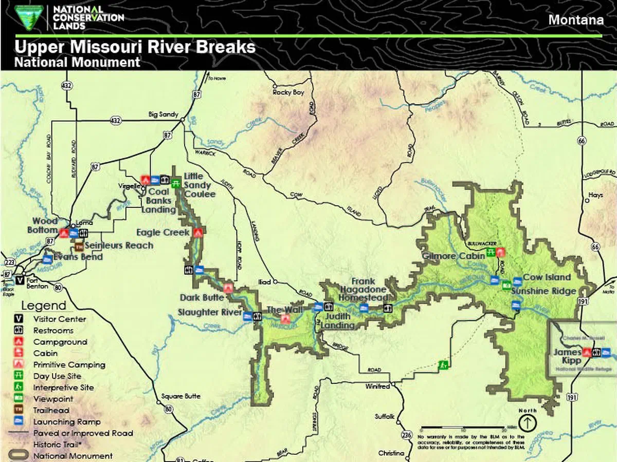
Paddling the Missouri river was from west to east and about 150 miles. We put in at a town called Fort Benton (left of photo) and concluded at a small park called James Kipp (right of photo). Fort Benton is not like Fort Lauderdale, its very sleepy and very small. James Kipp is in the middle of nowhere and is basically a boat ramp with some RV and tent camping - i.e. Montana in general.
Driving between the 2 locations takes about 2-3 hours.
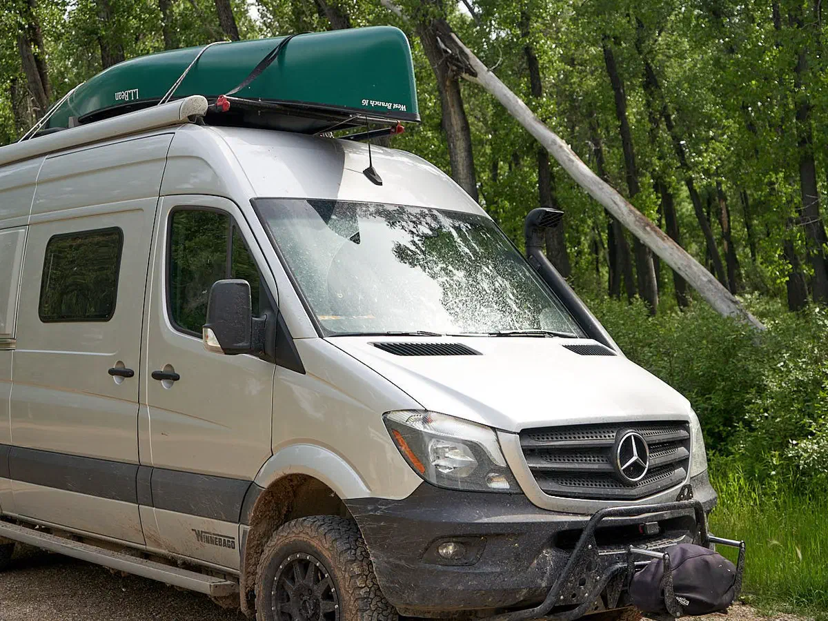
So, how did we do it? We left a rental pick-up at James Kipp, drove to Fort Benton, left my RV there, paddled to James Kipp, put the stuff in and on the pick-up, and drove back to Fort Benton. Easy peezy :)
The paddling part was 5 nights, 6 days on the river.
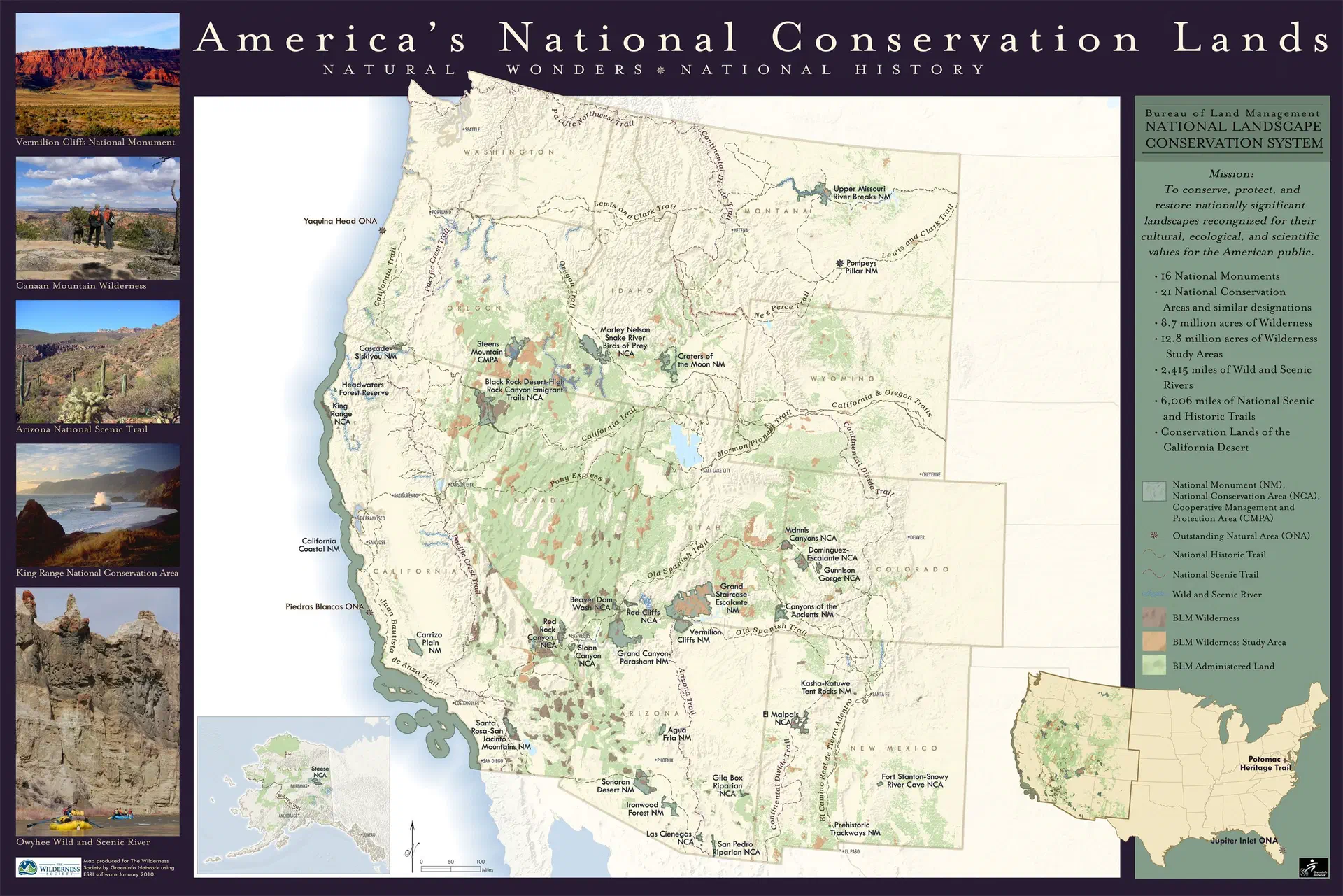
This should give you a mental reference of where we paddled in Montana (upper, center and slightly shaded part of map).
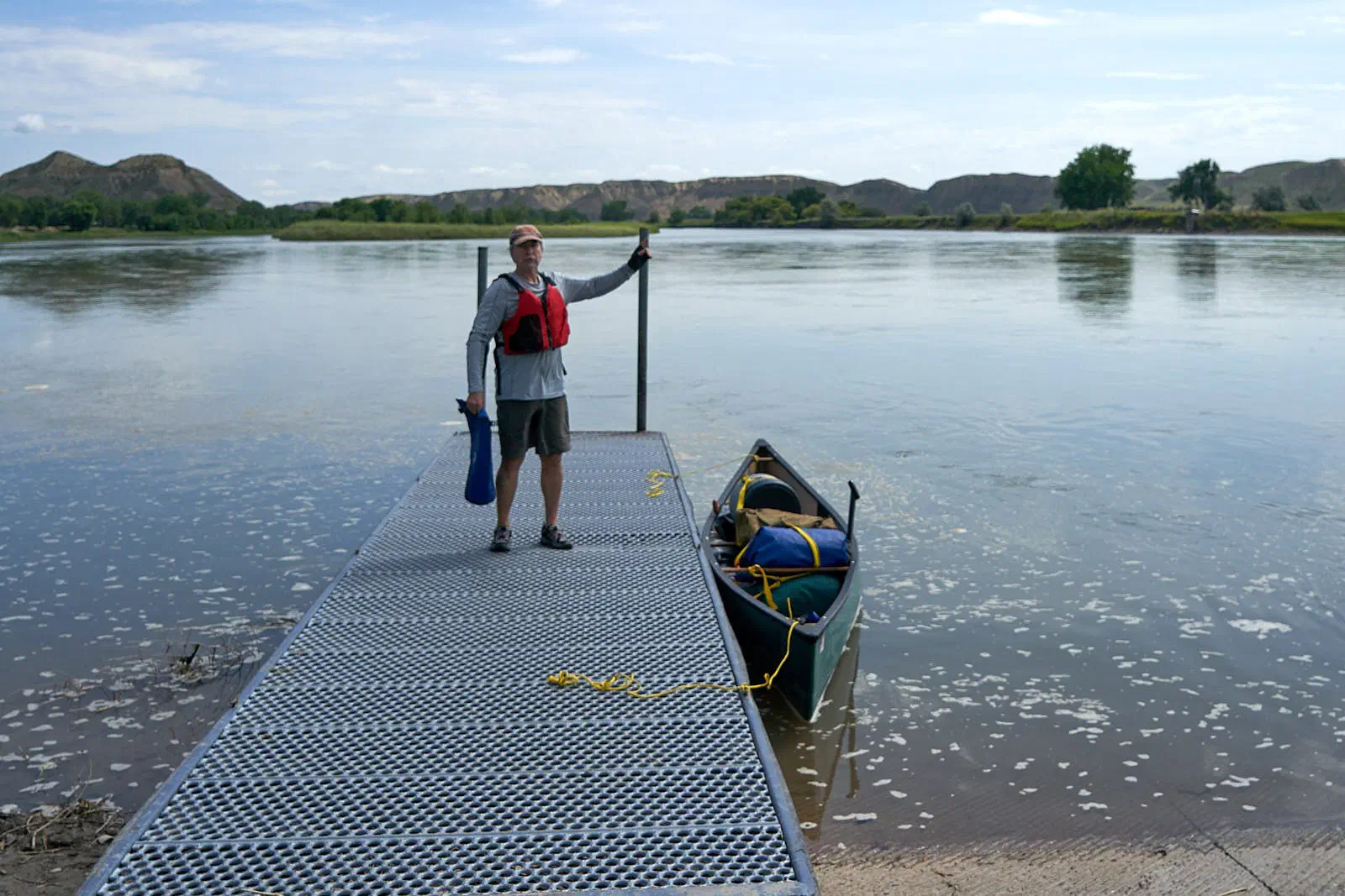
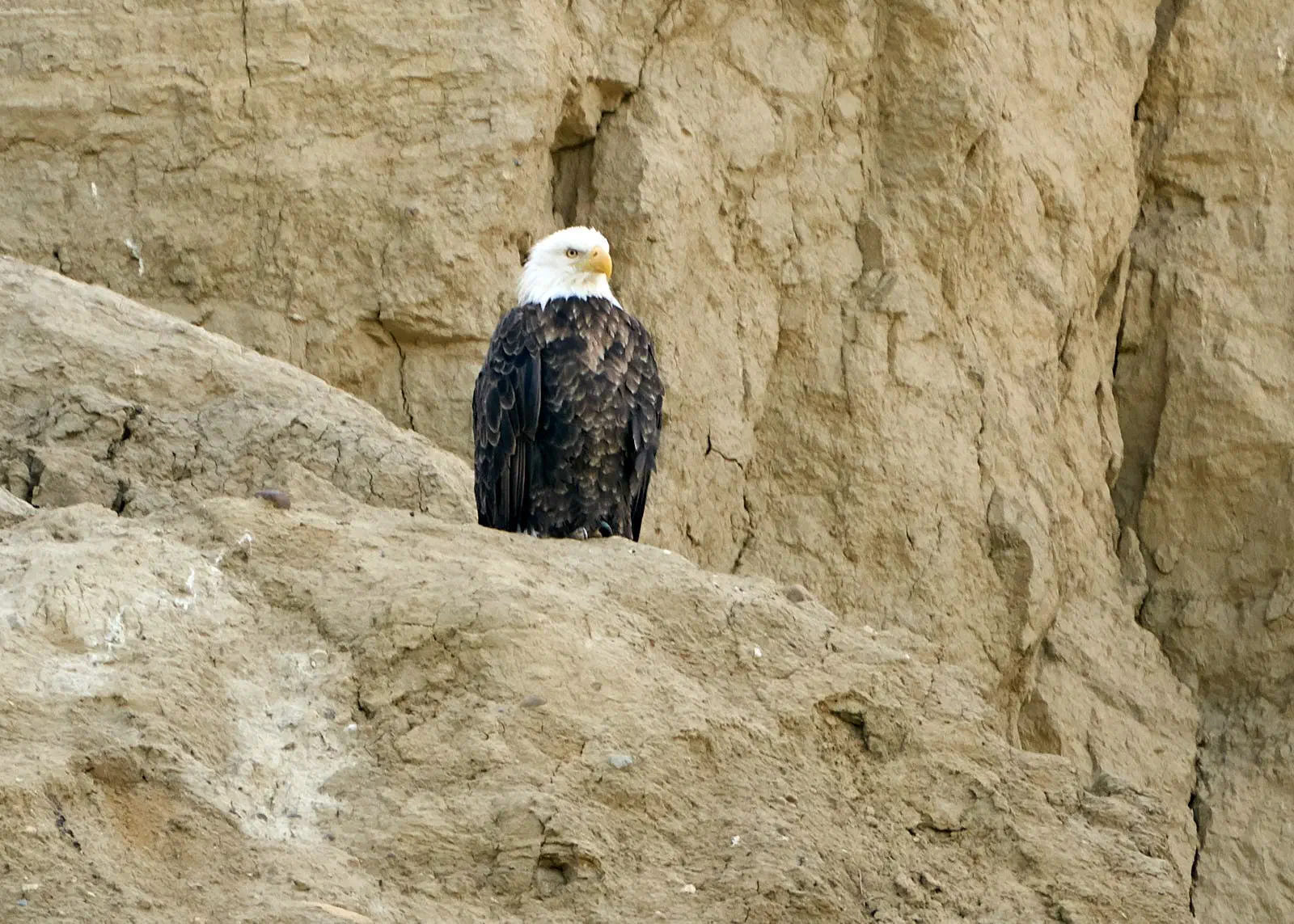
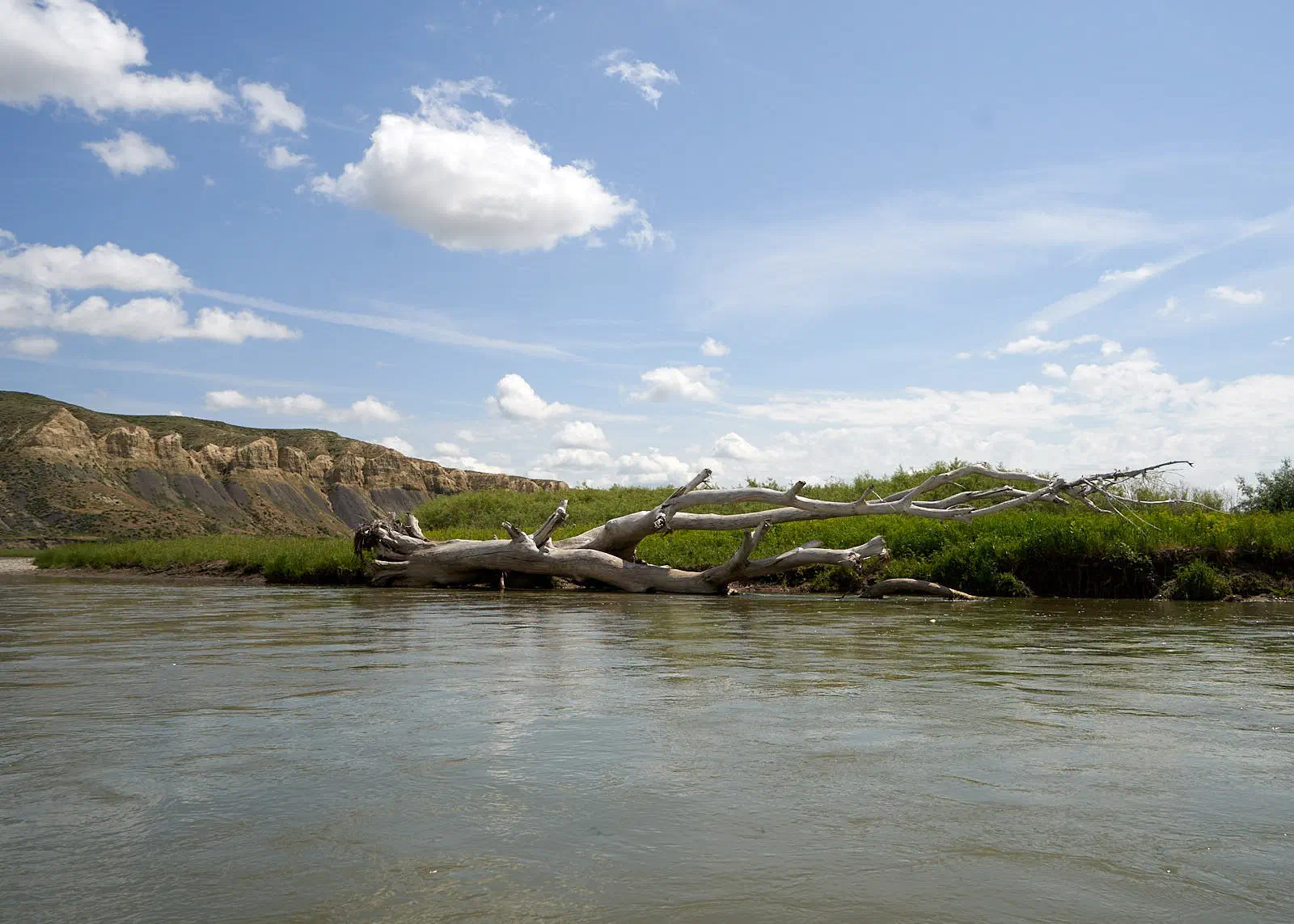
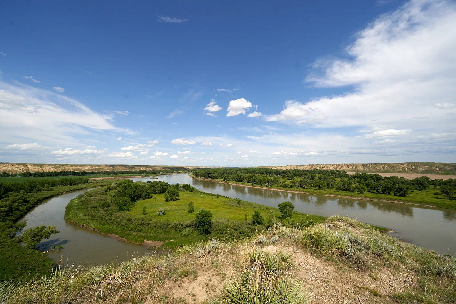
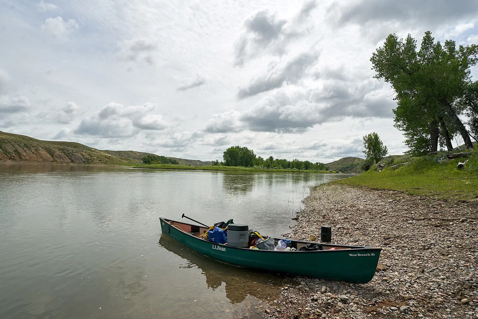
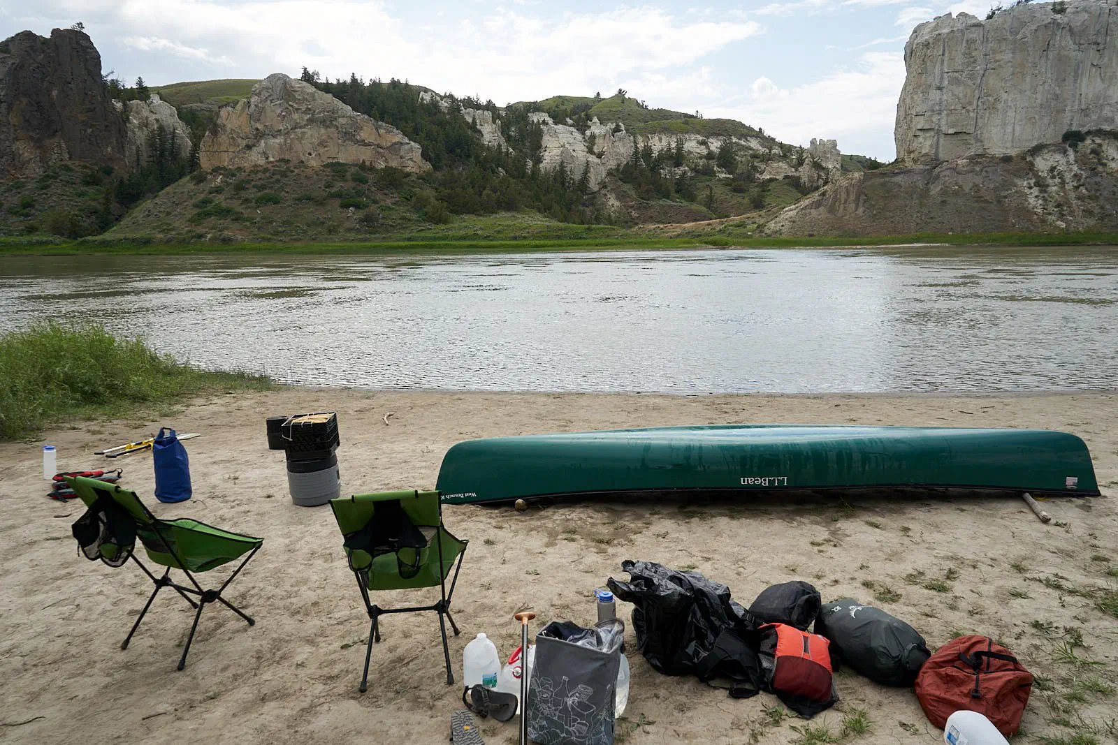
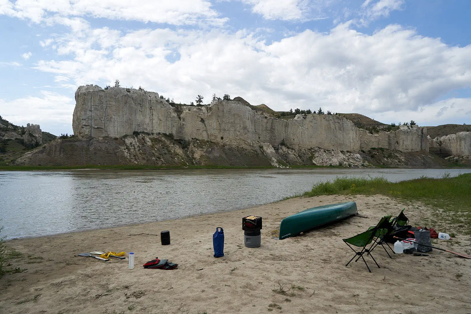
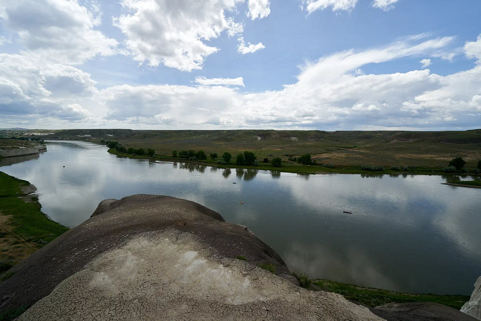
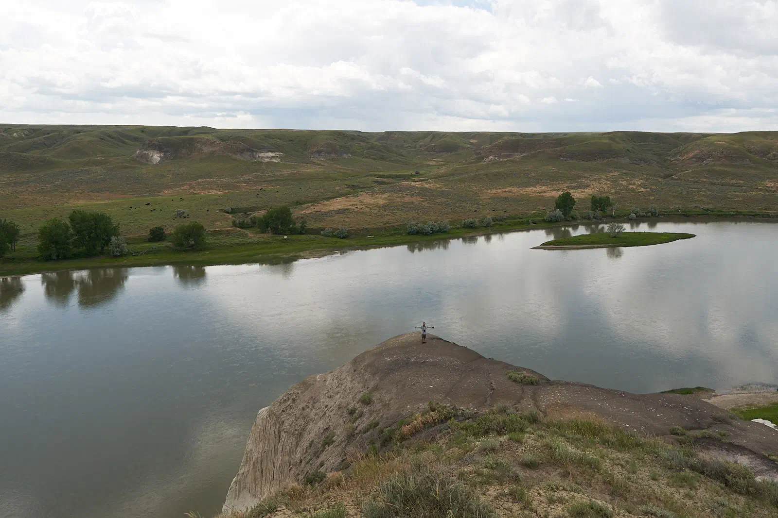
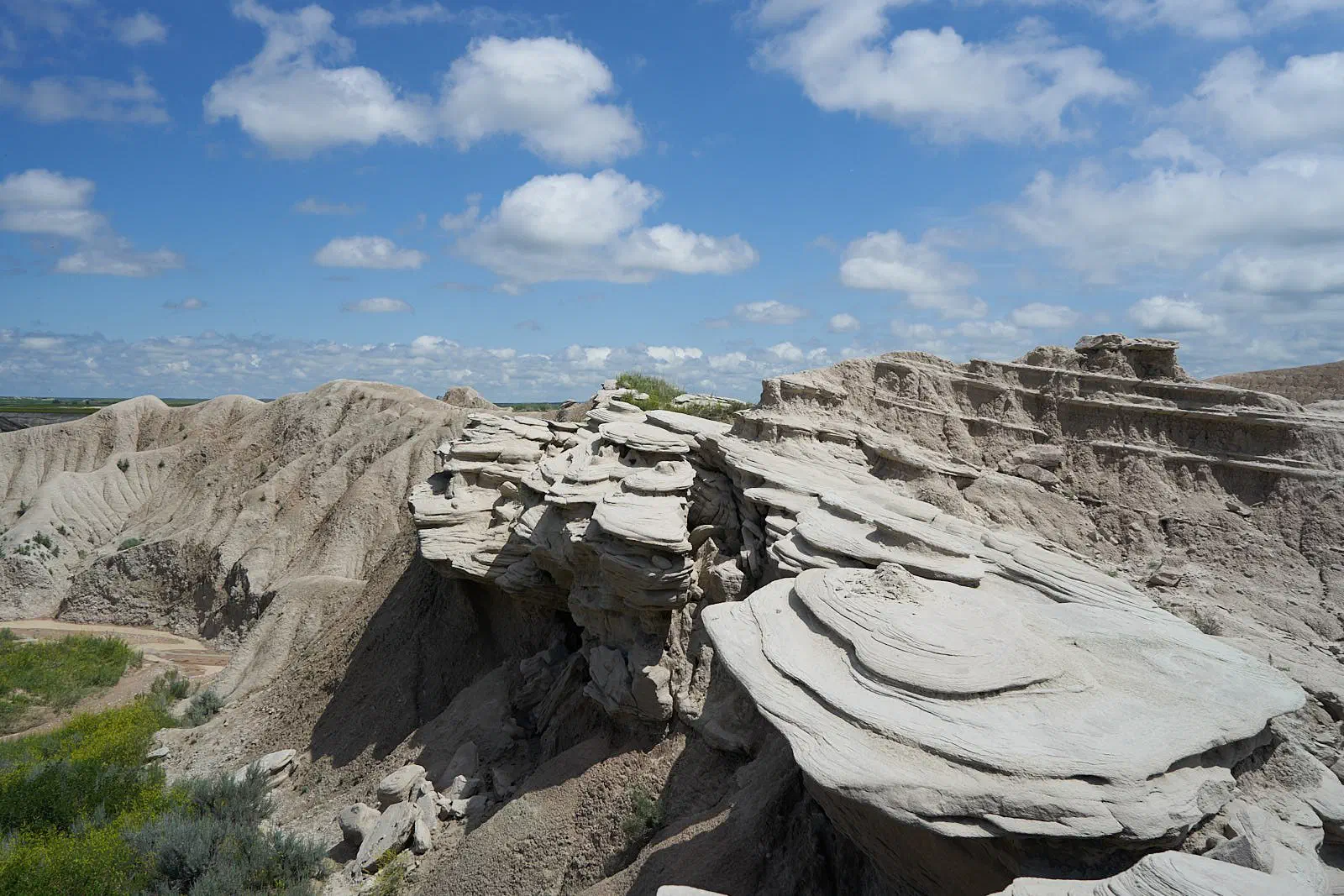
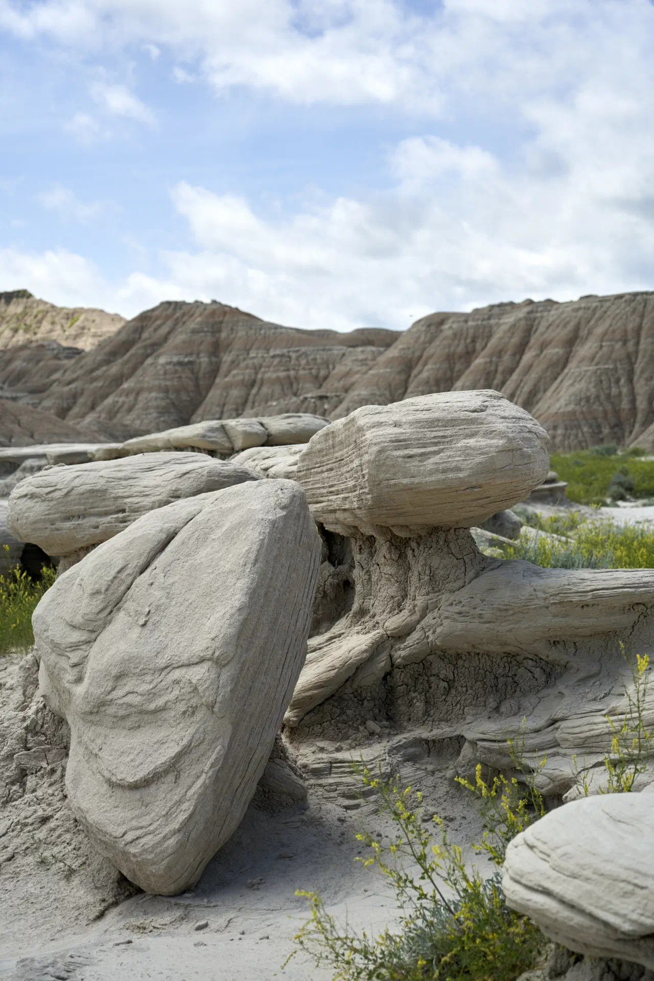
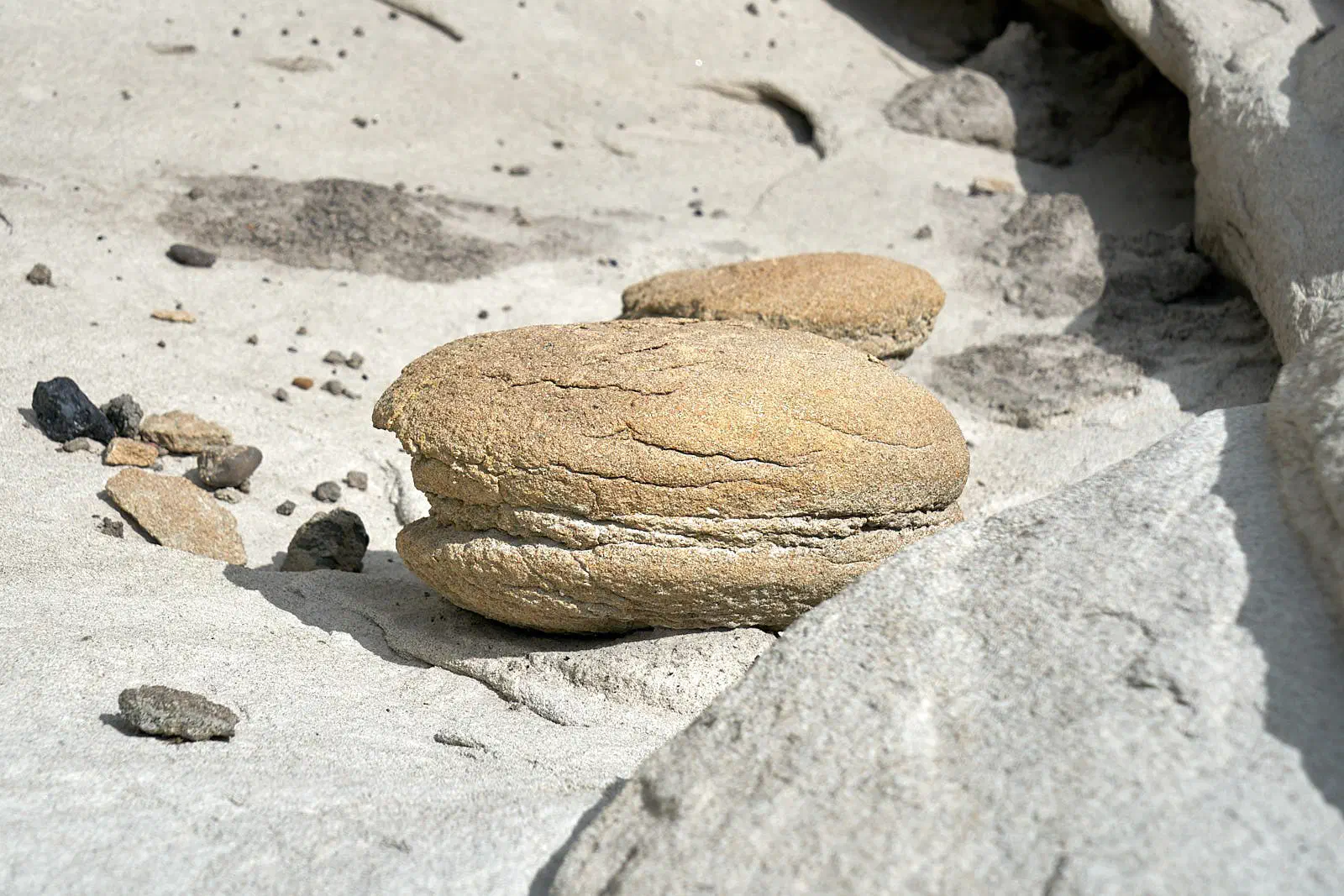
A fascinating thing from the above photo. We took a detour around back of cliff area and found this amazing geologic feature.
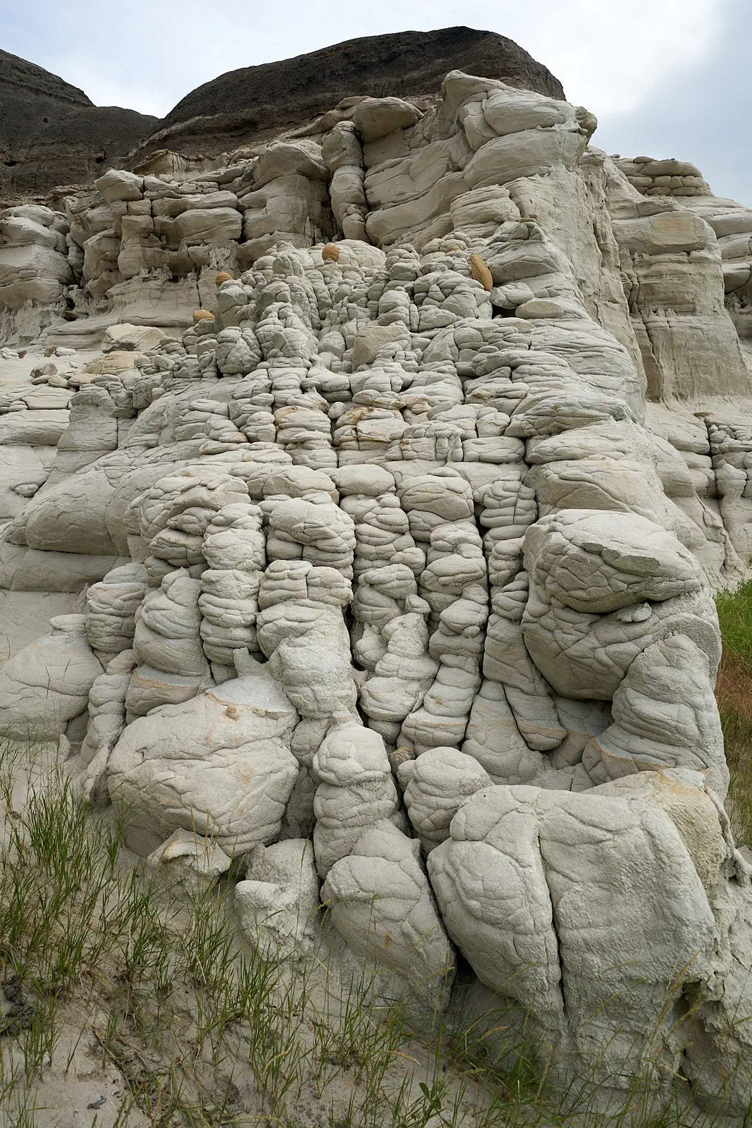
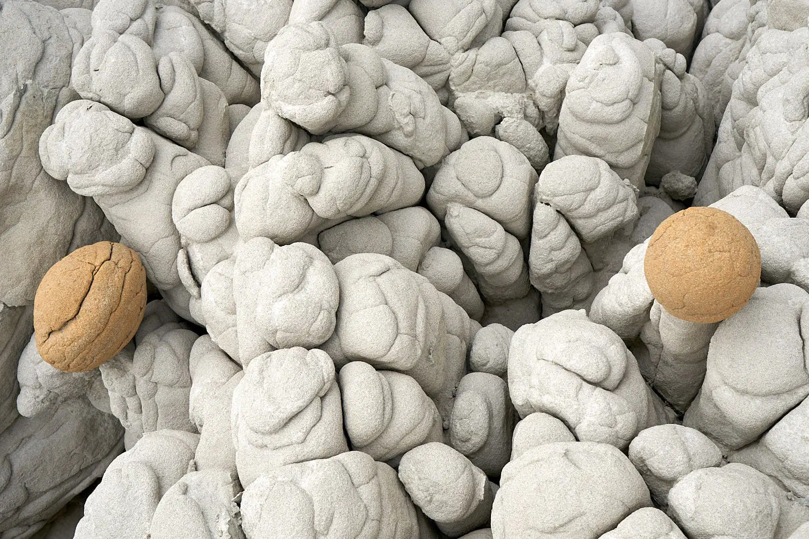
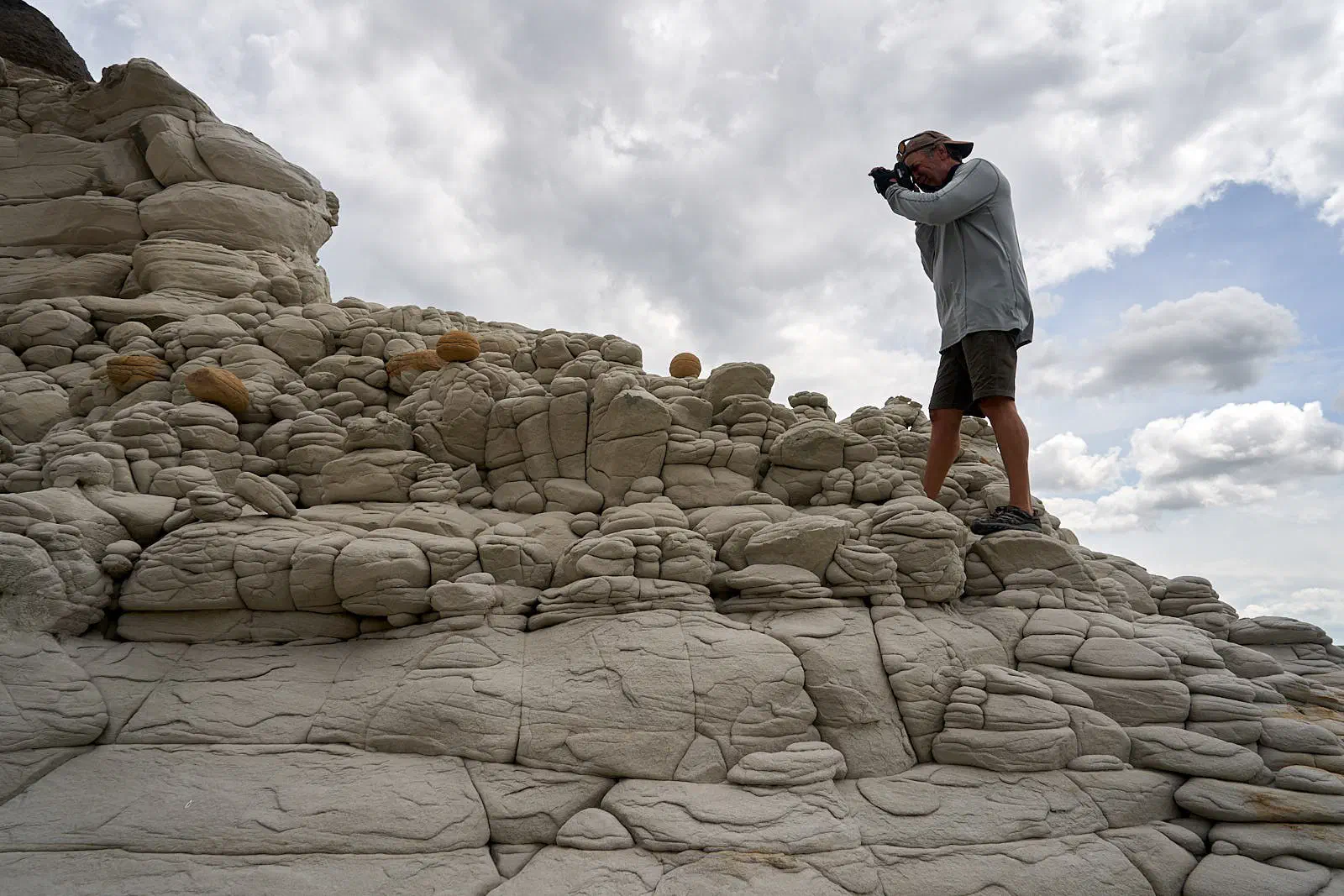
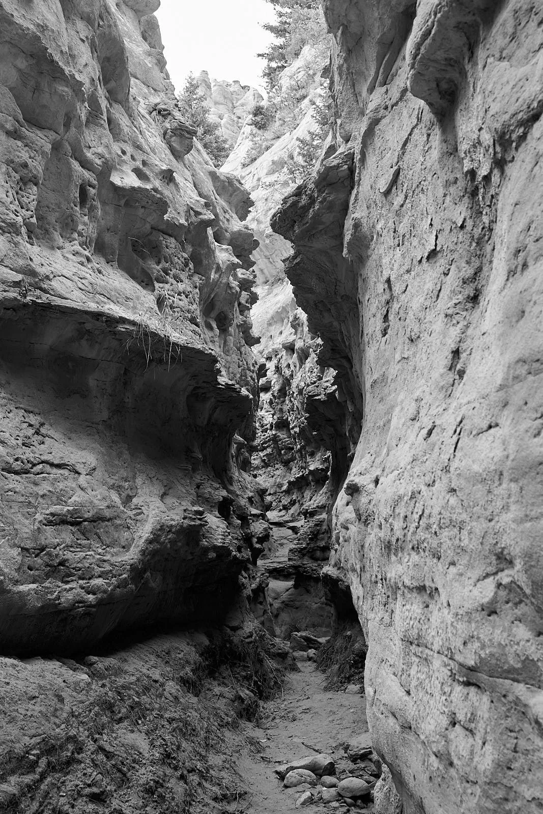
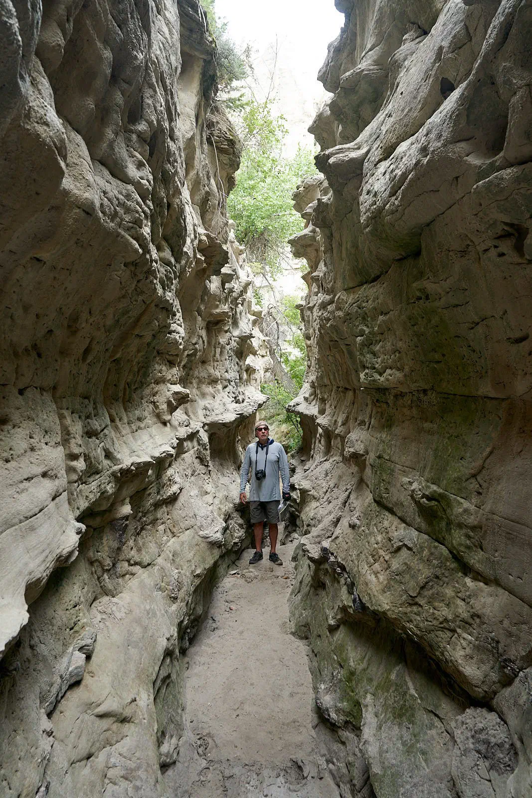
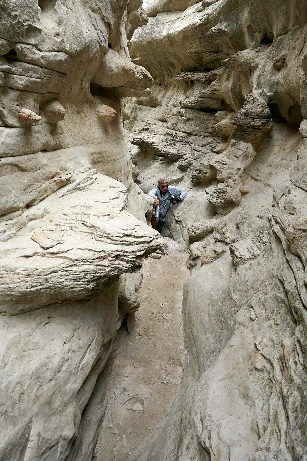
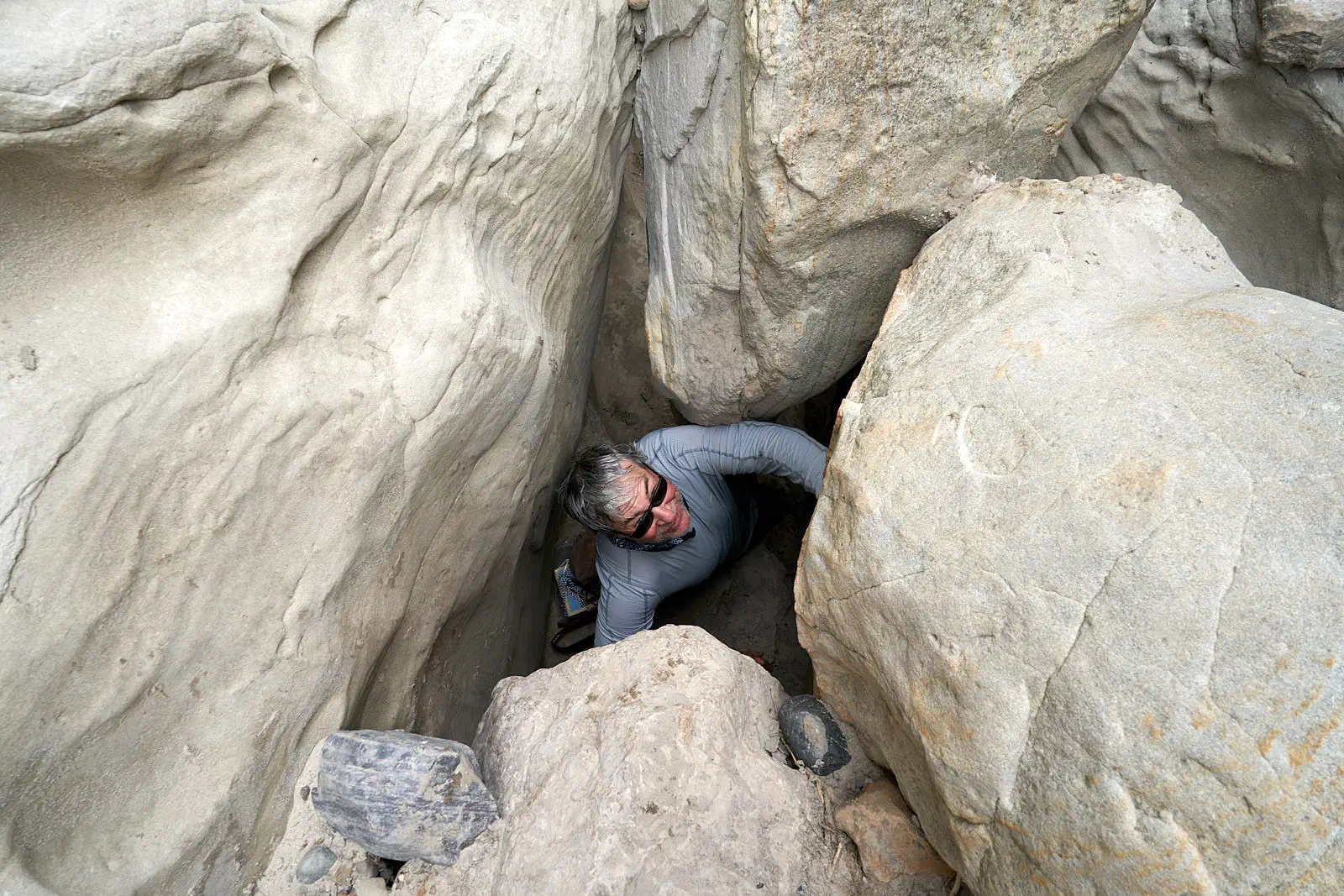
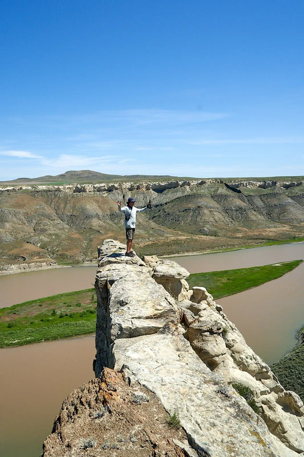
Another detour we took was climbing to the top of a slot (i.e. a hoodoo) to get another view of the river. These photos are indicative of the trials and tribulations of the side hike.
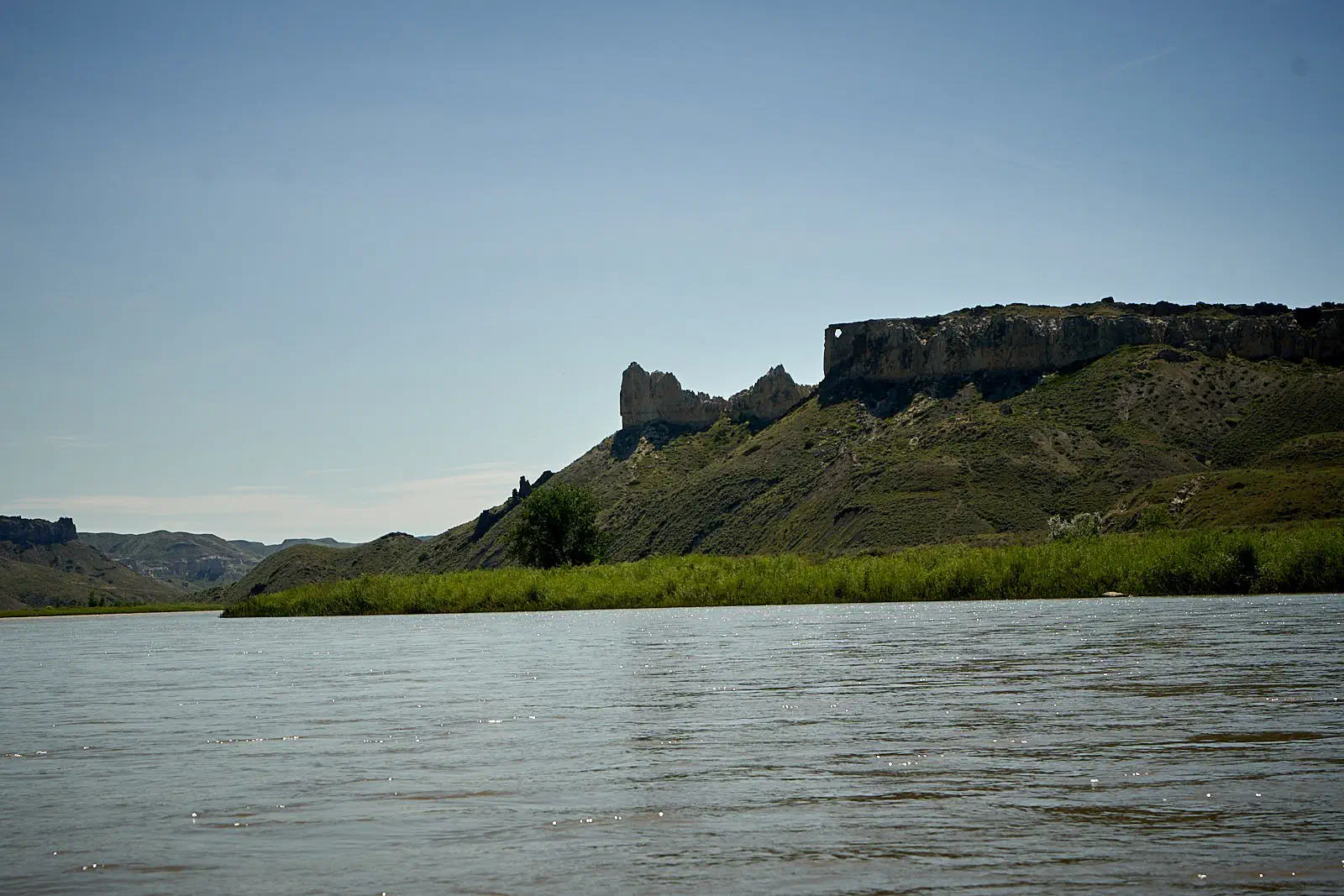
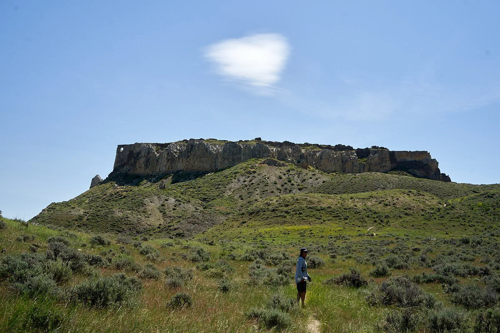
Another really cool departure was to the ‘hole in the wall’. Check out the long view from the river and then the close view from the top…
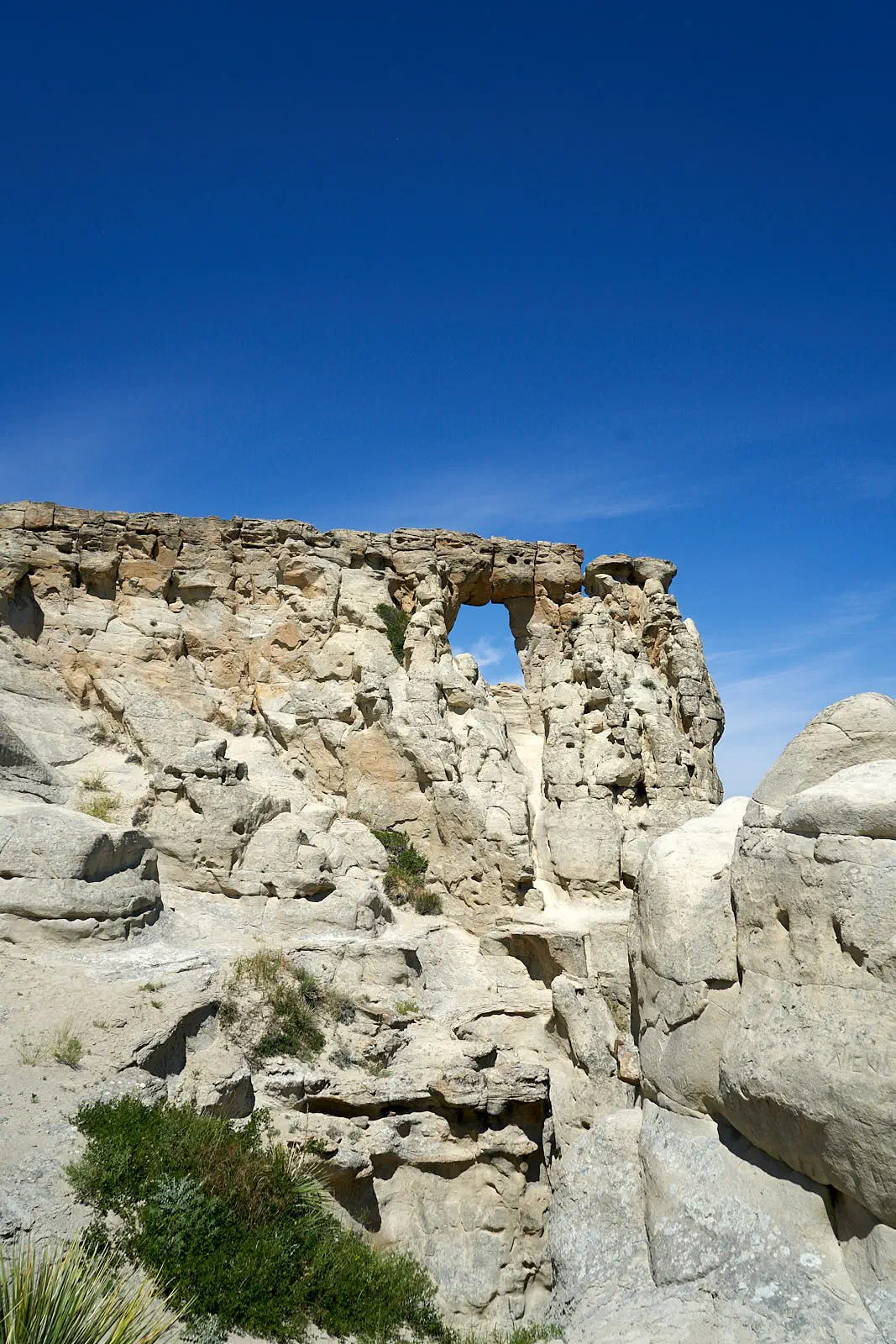
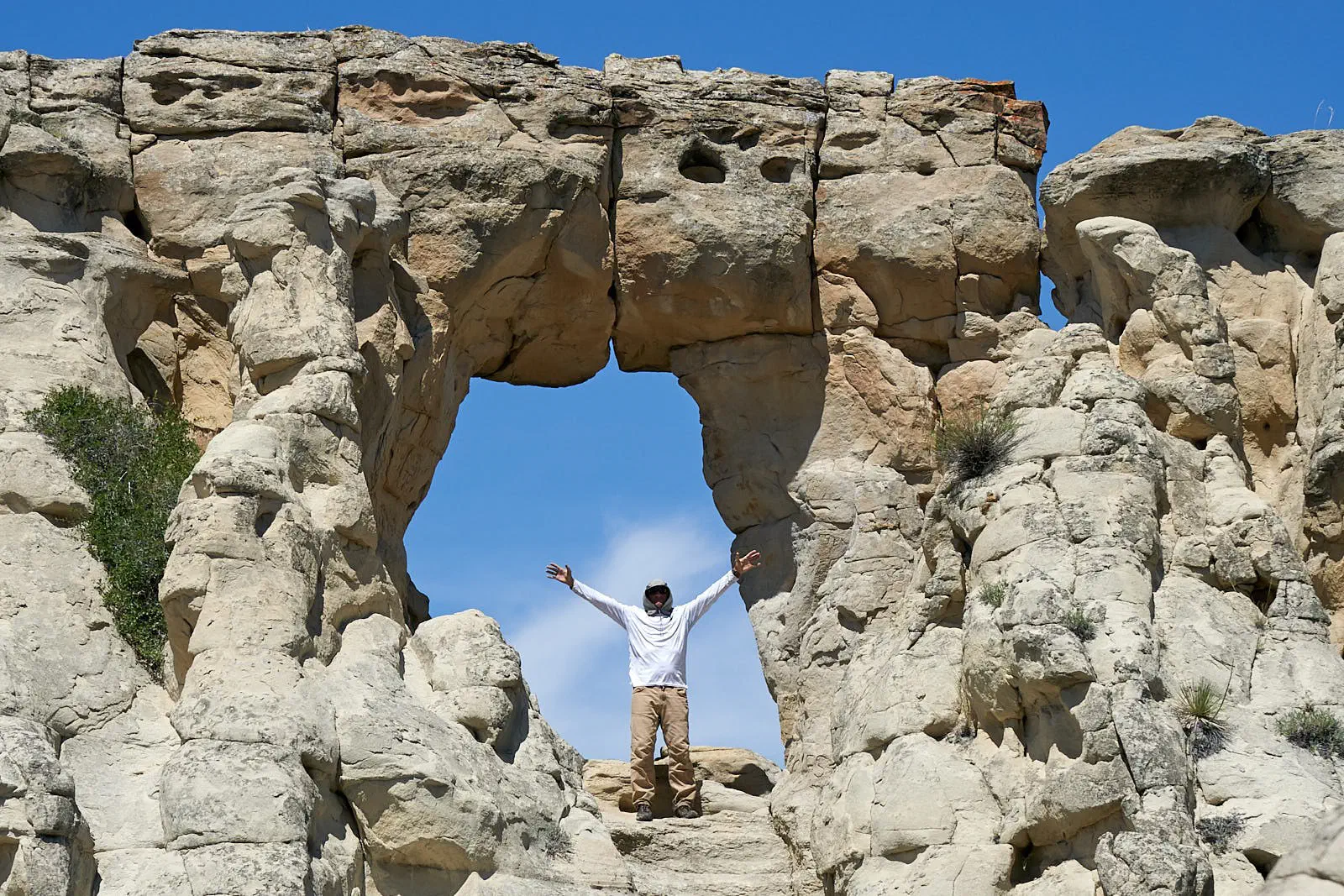
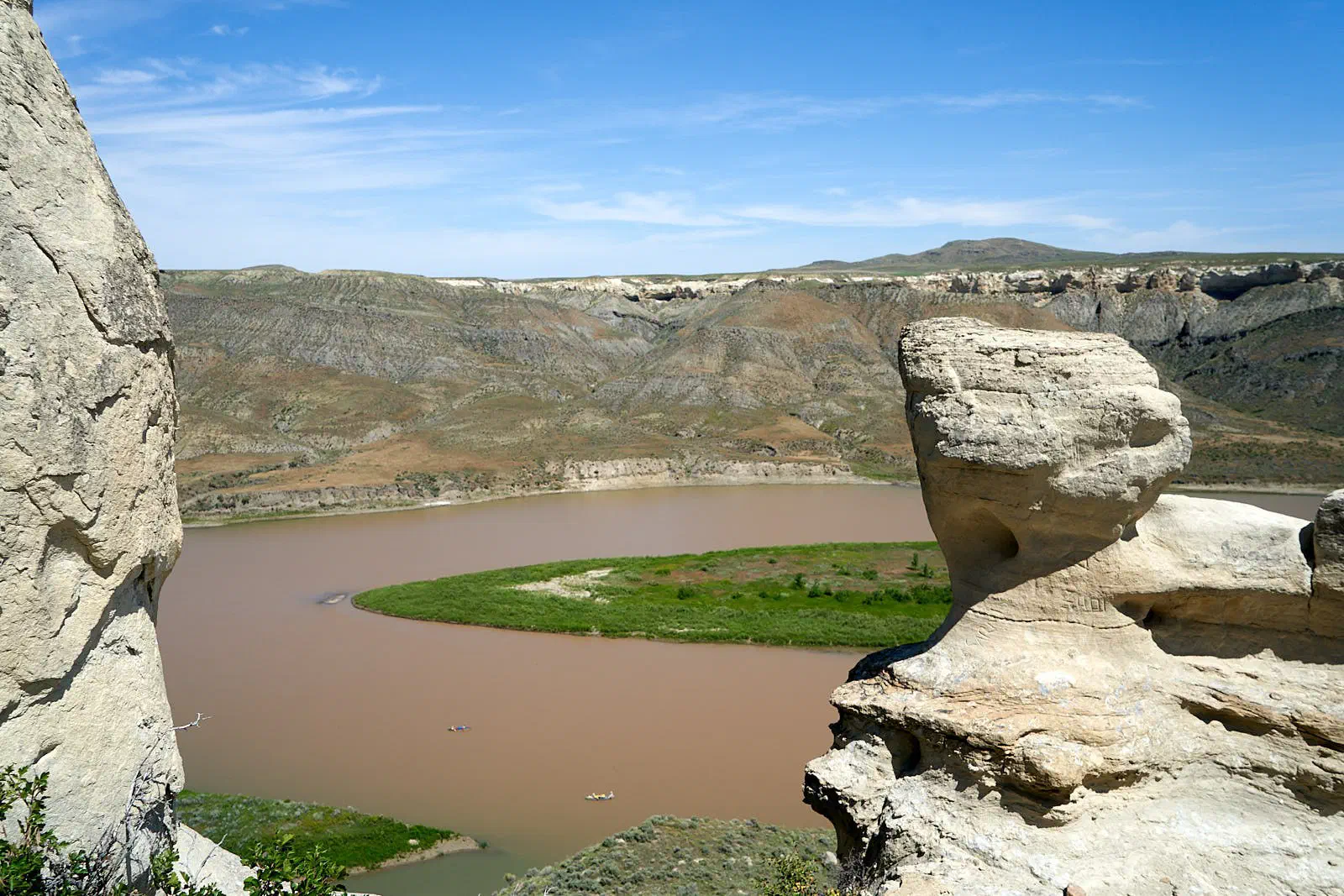
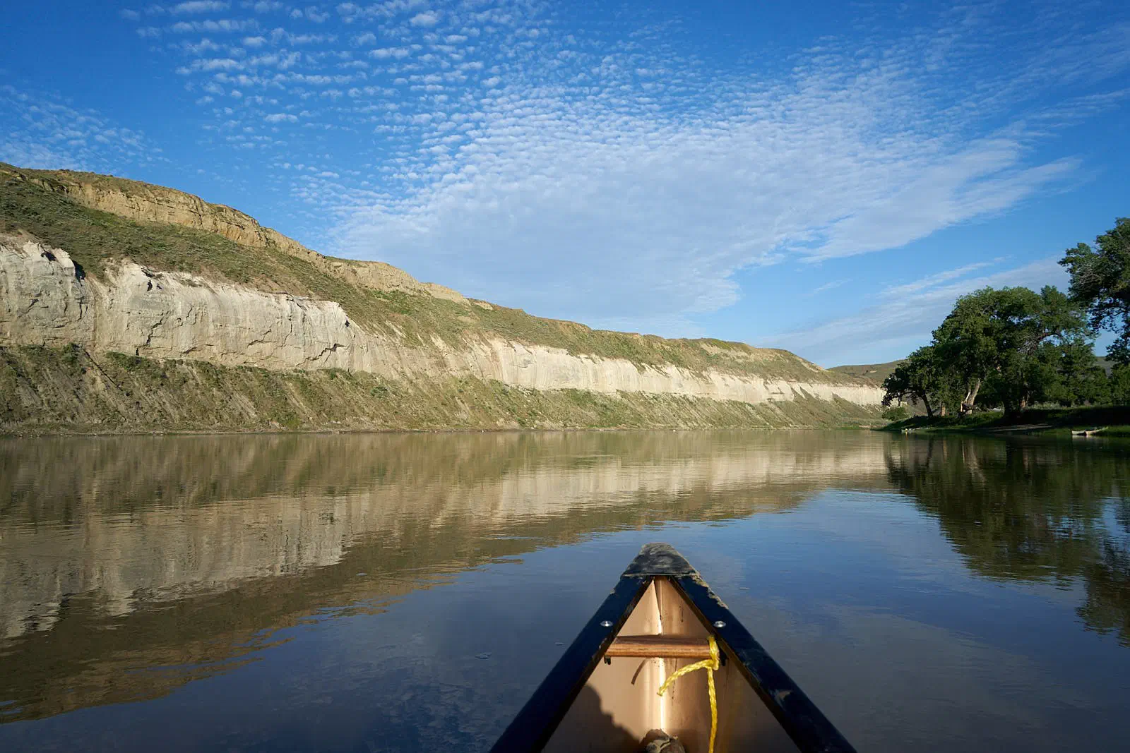
Onward down the river, we started getting to the old homestead area…
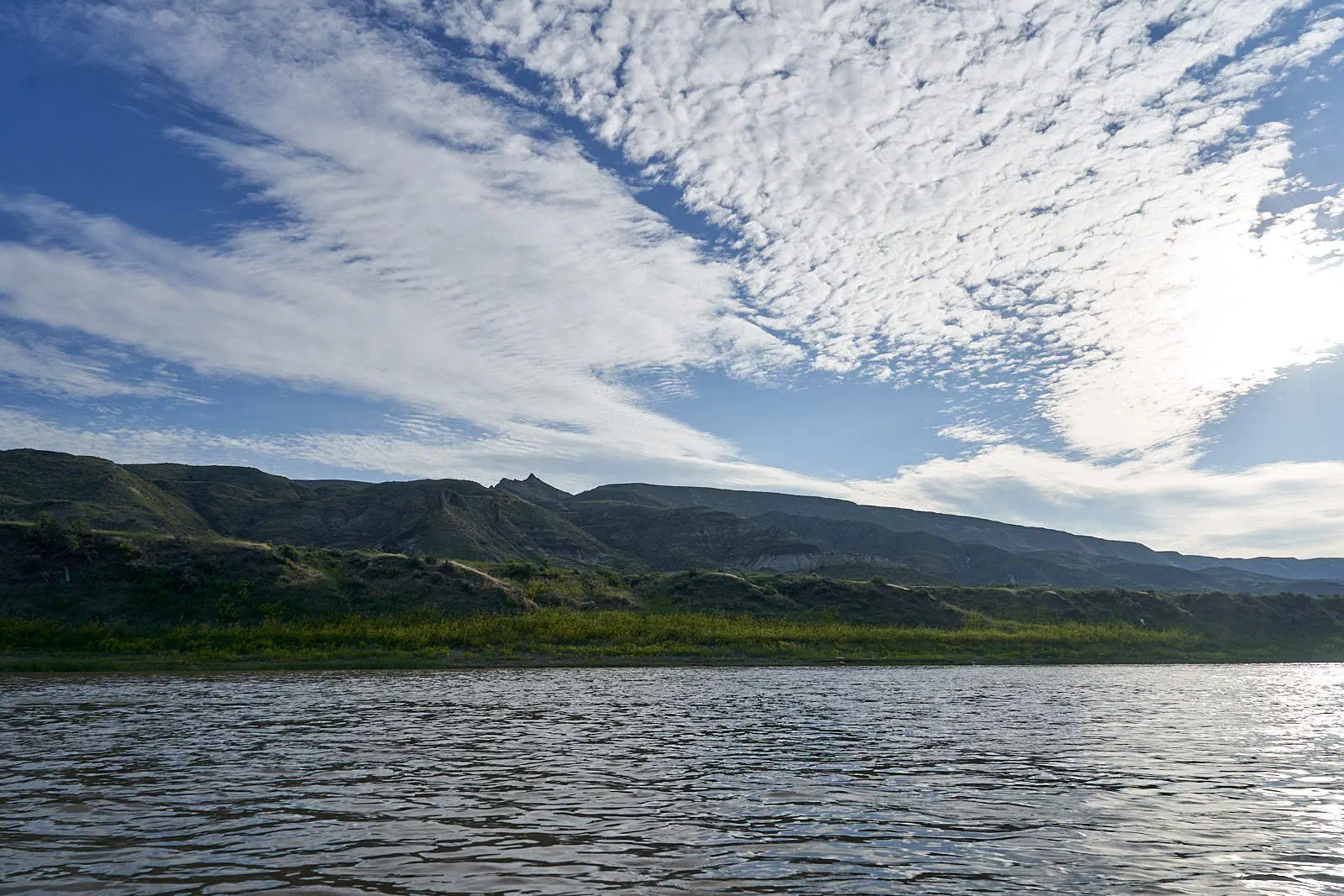
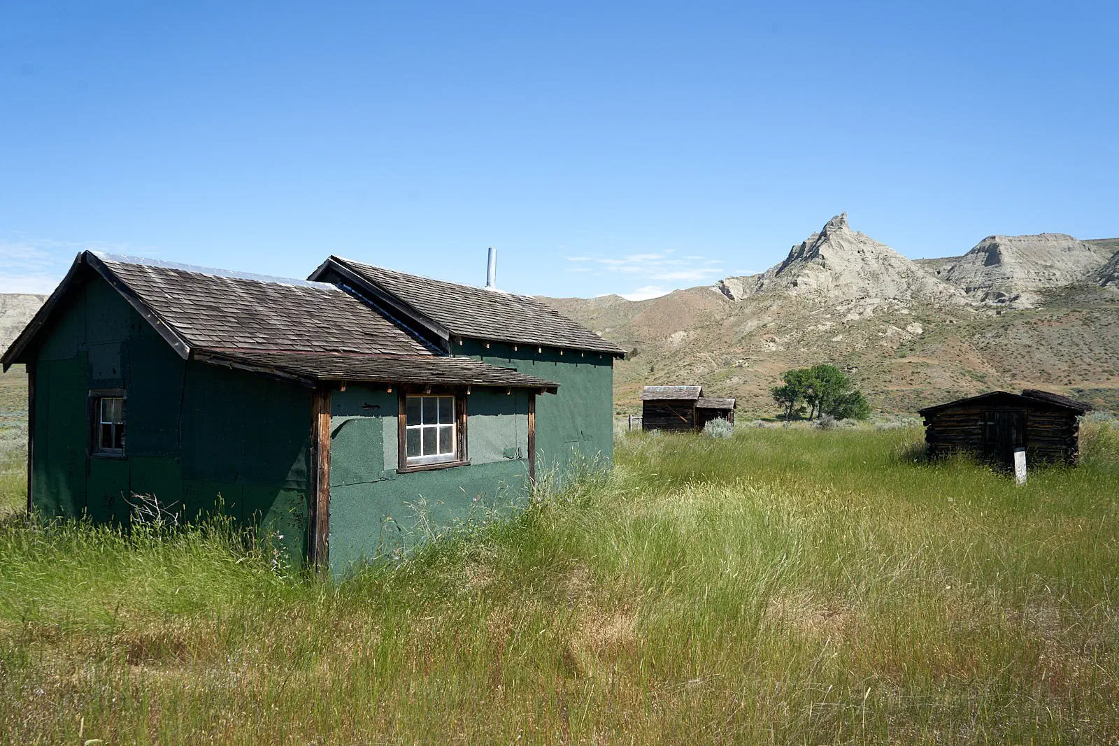
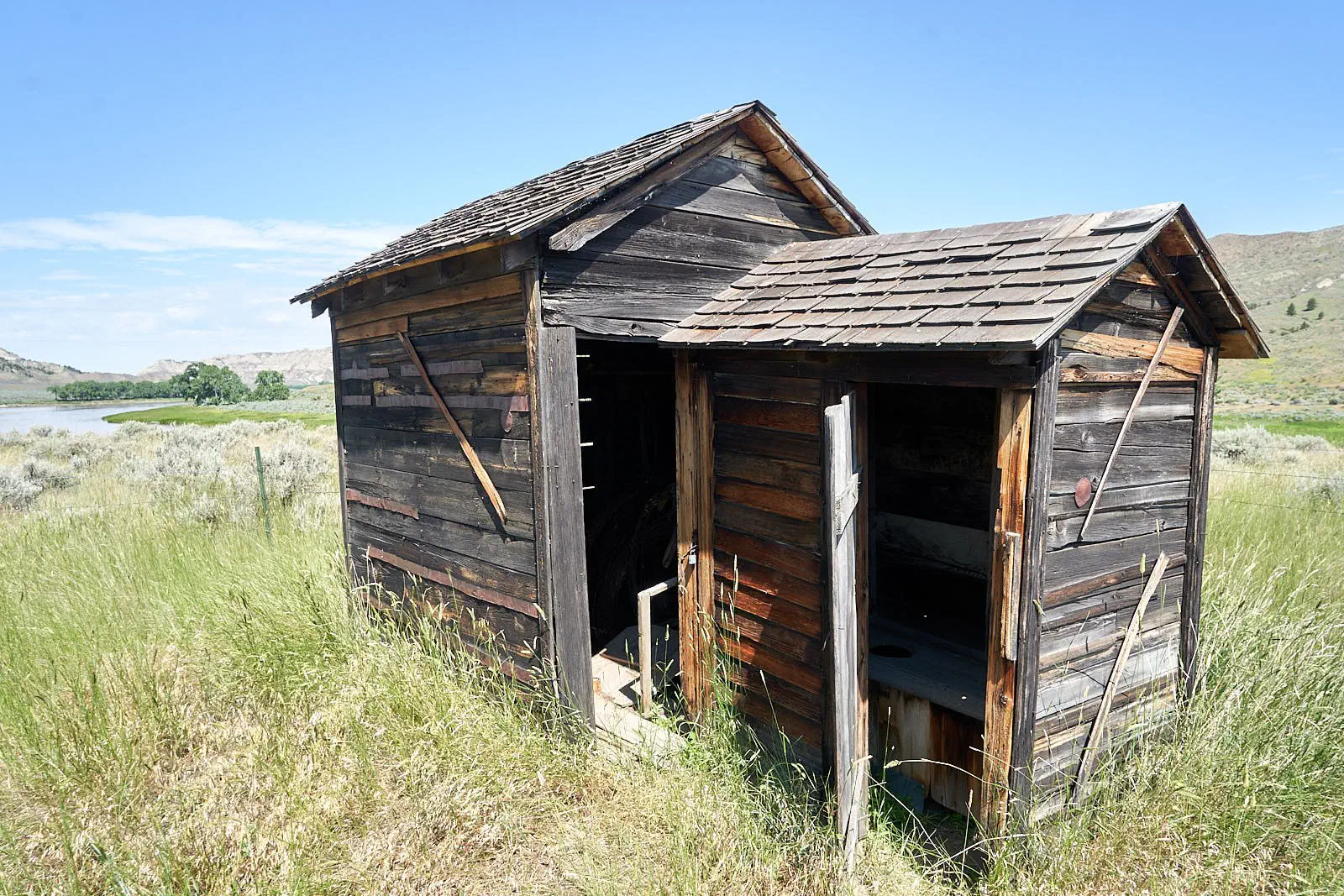
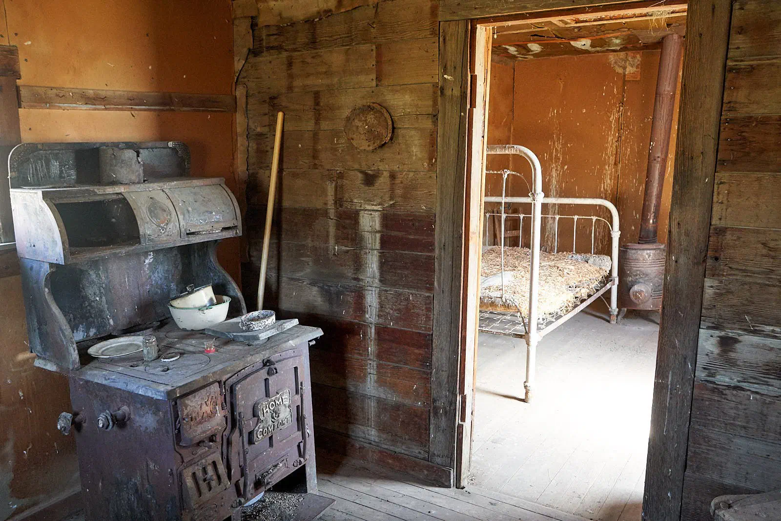
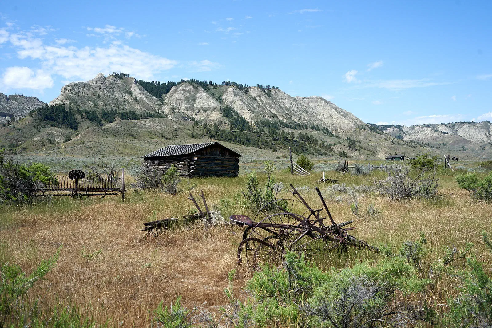
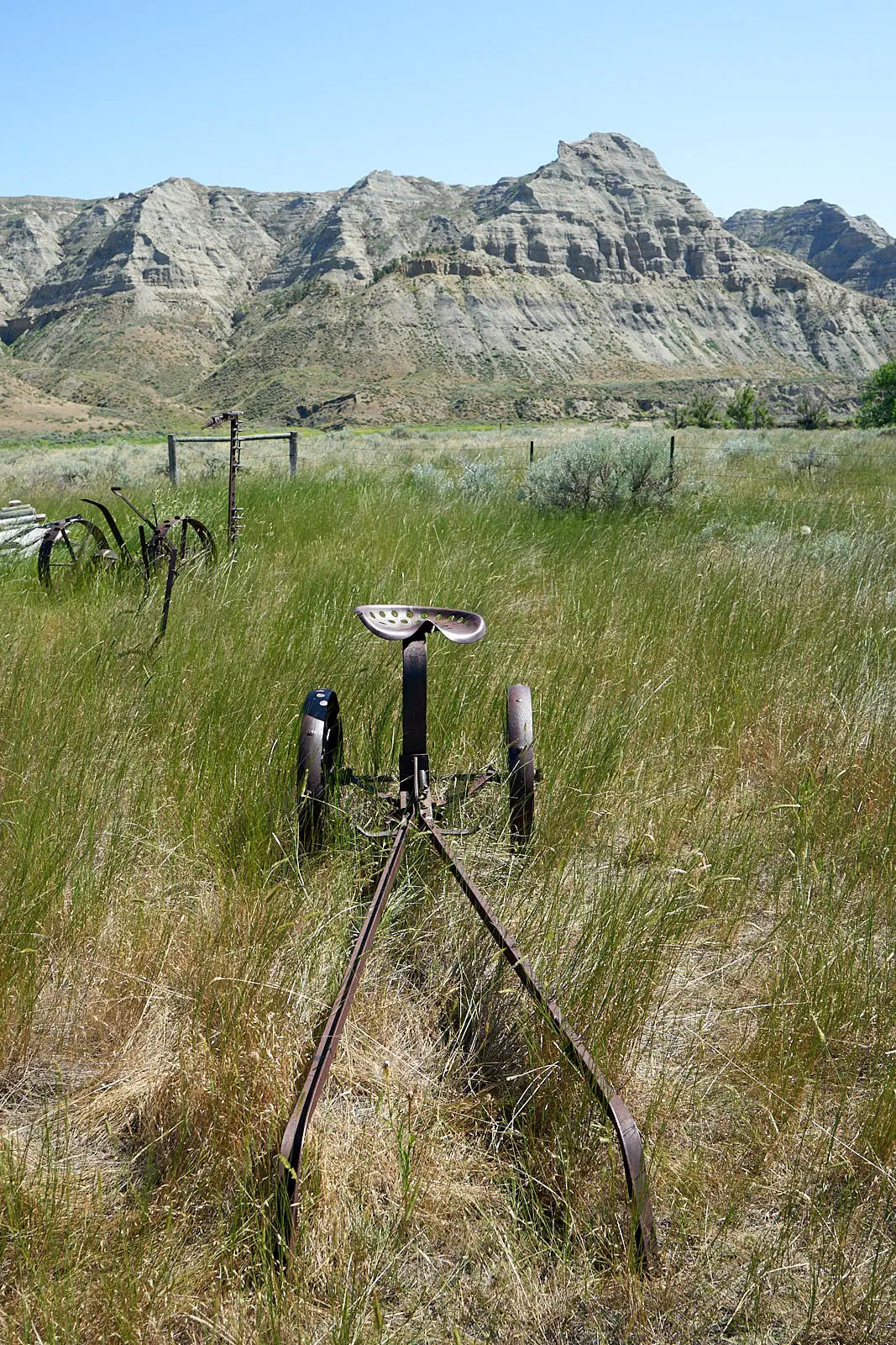
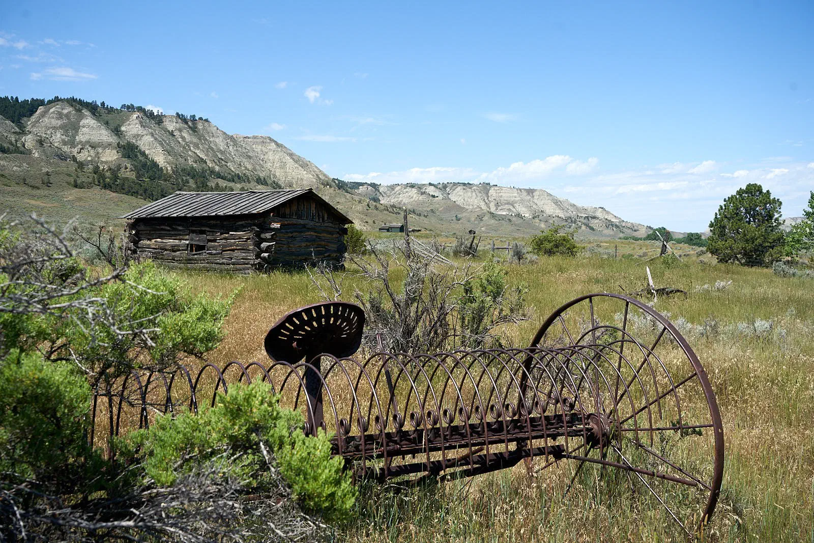
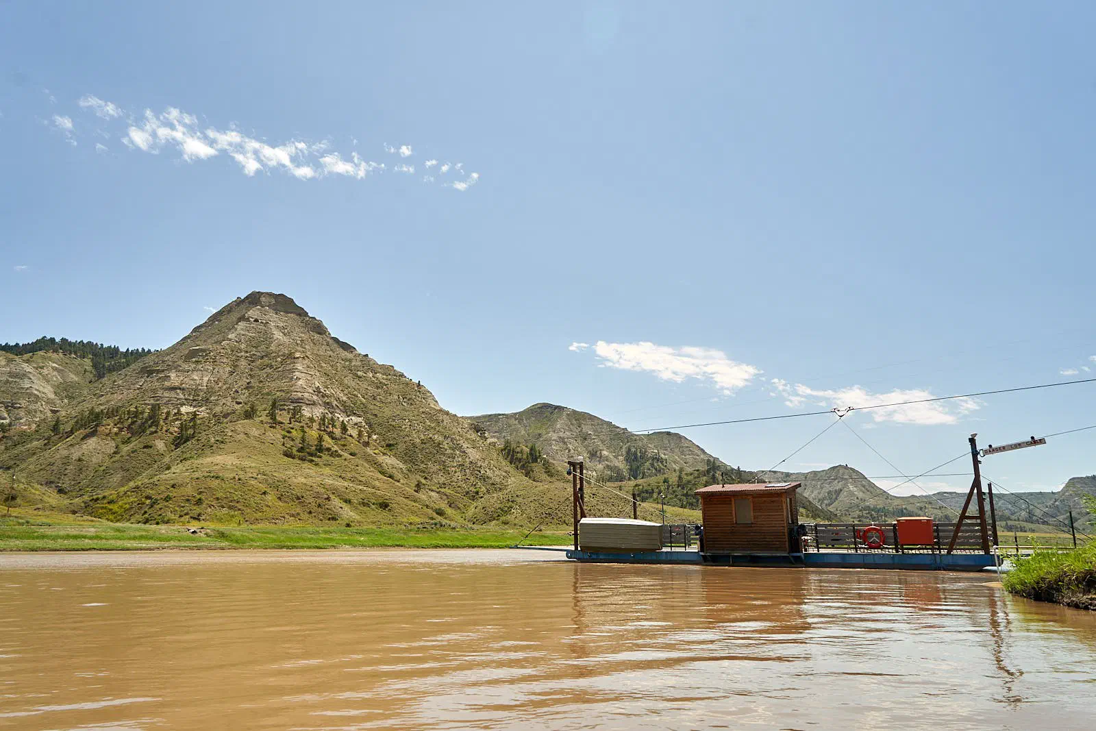
This is one of the 2 fairy crossings on river. Yes, they are still operational and do take cars across. But, we only saw people crossing.
Another Homestead…
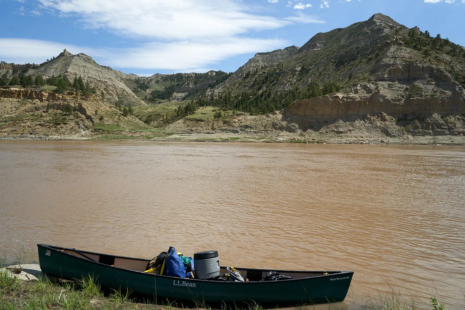
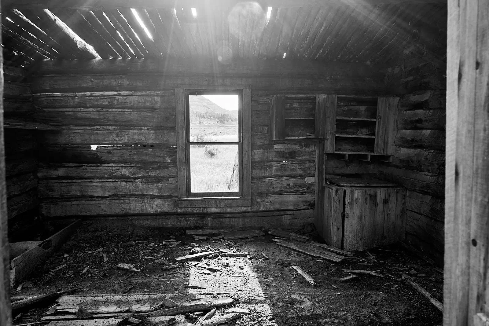
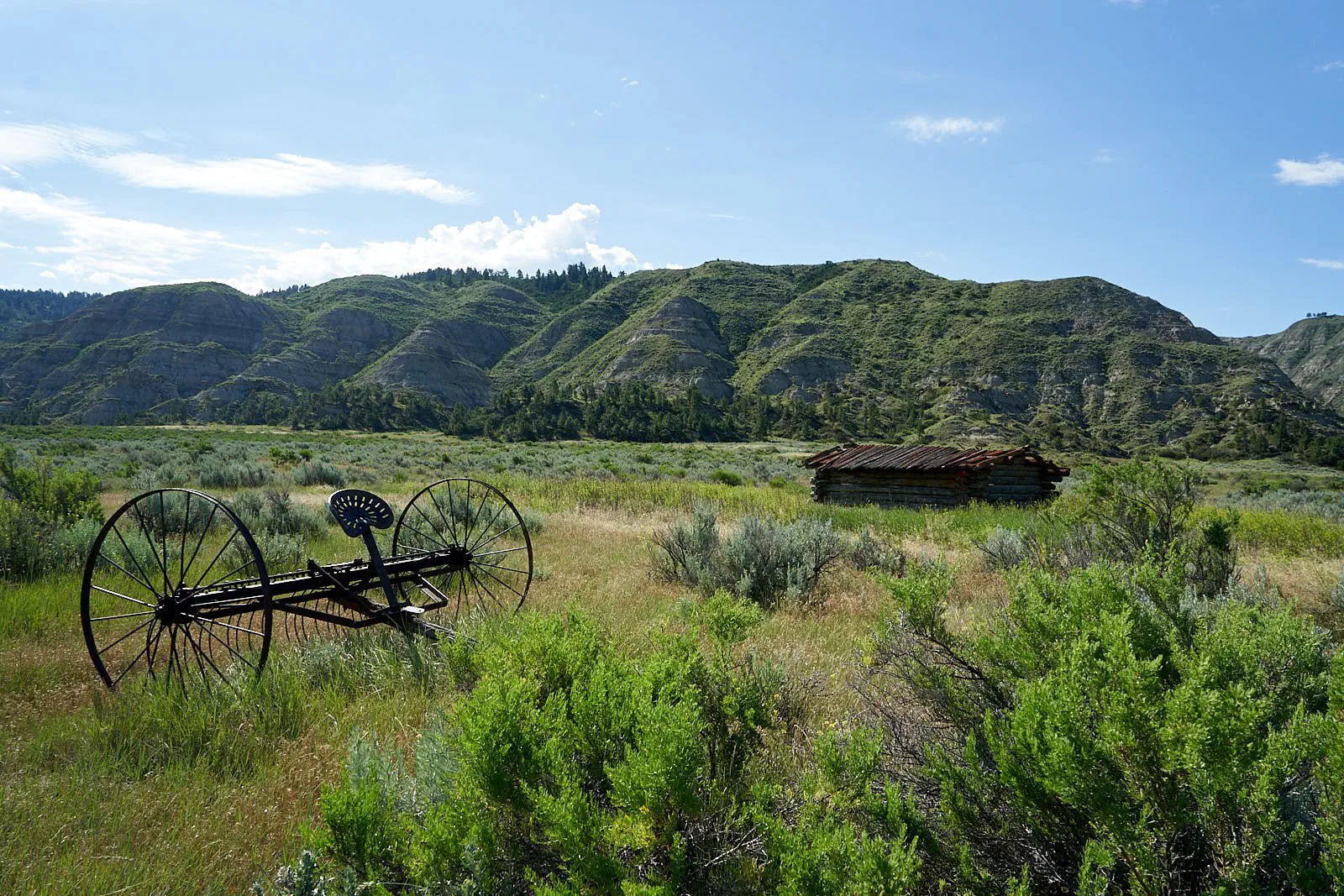
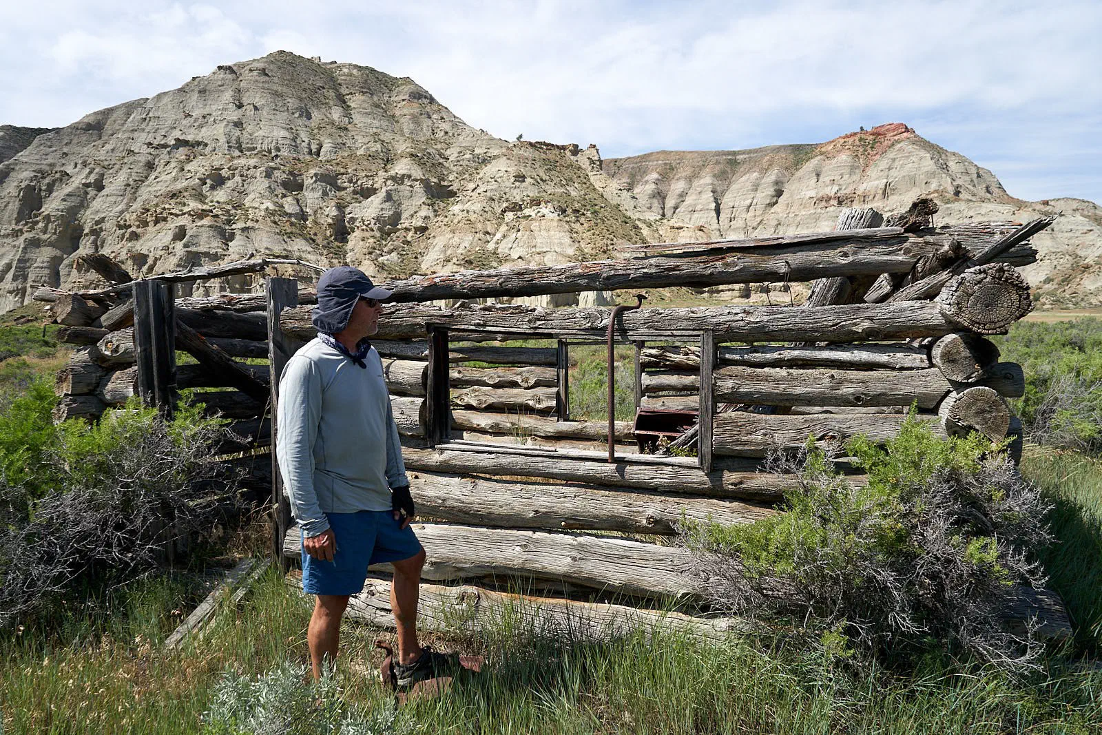
Next detour was to snake head point. Lewis and Clark climbed this to get a view of where they were heading. Can you guess where it gets it’s name?
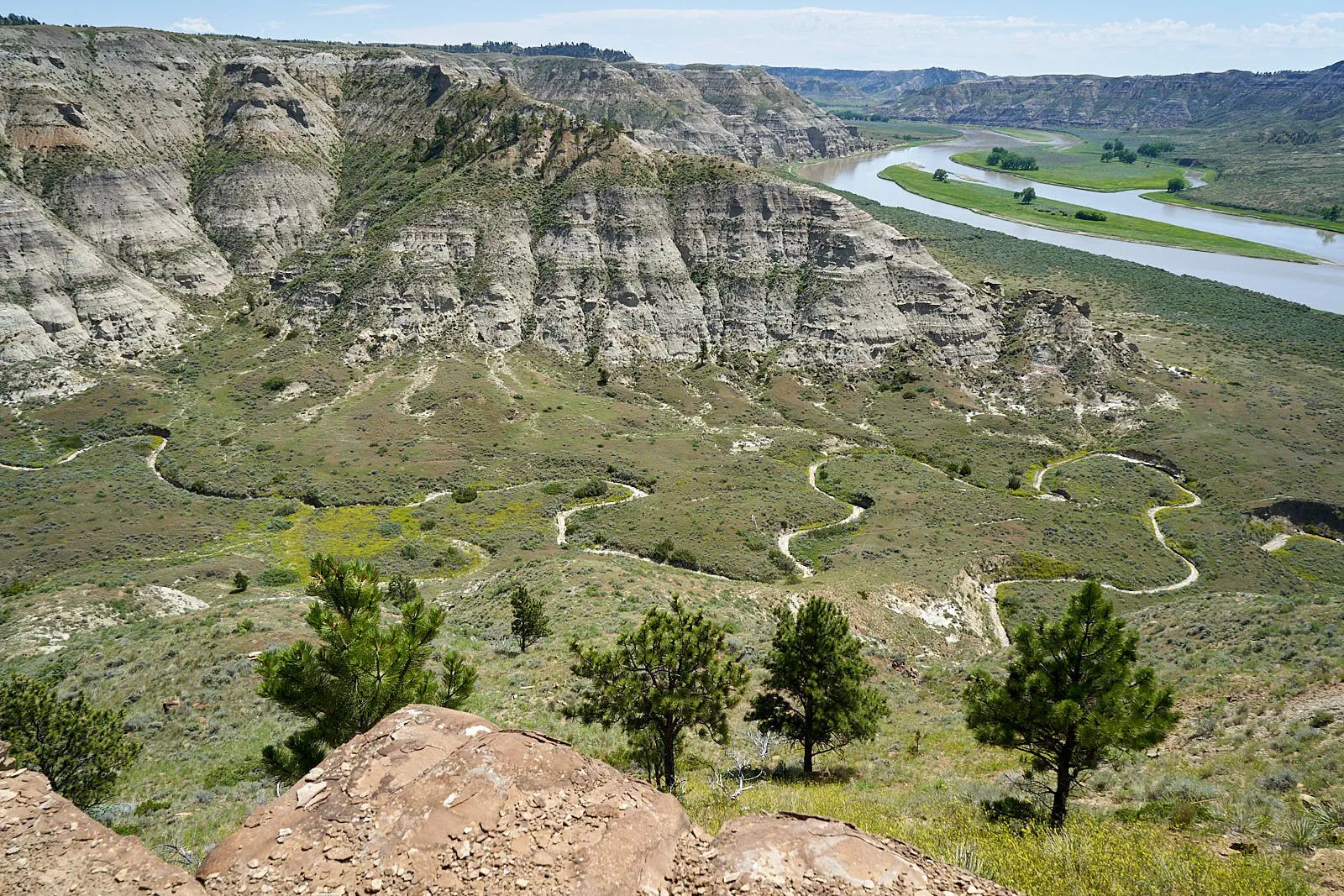
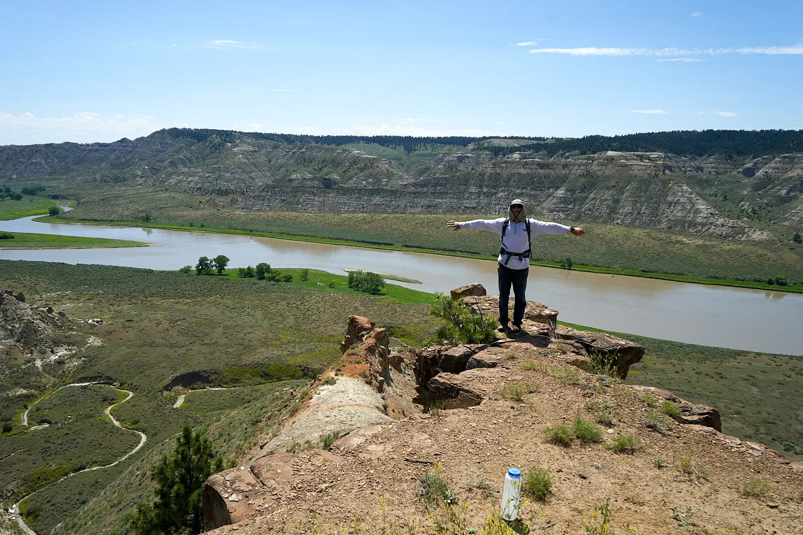
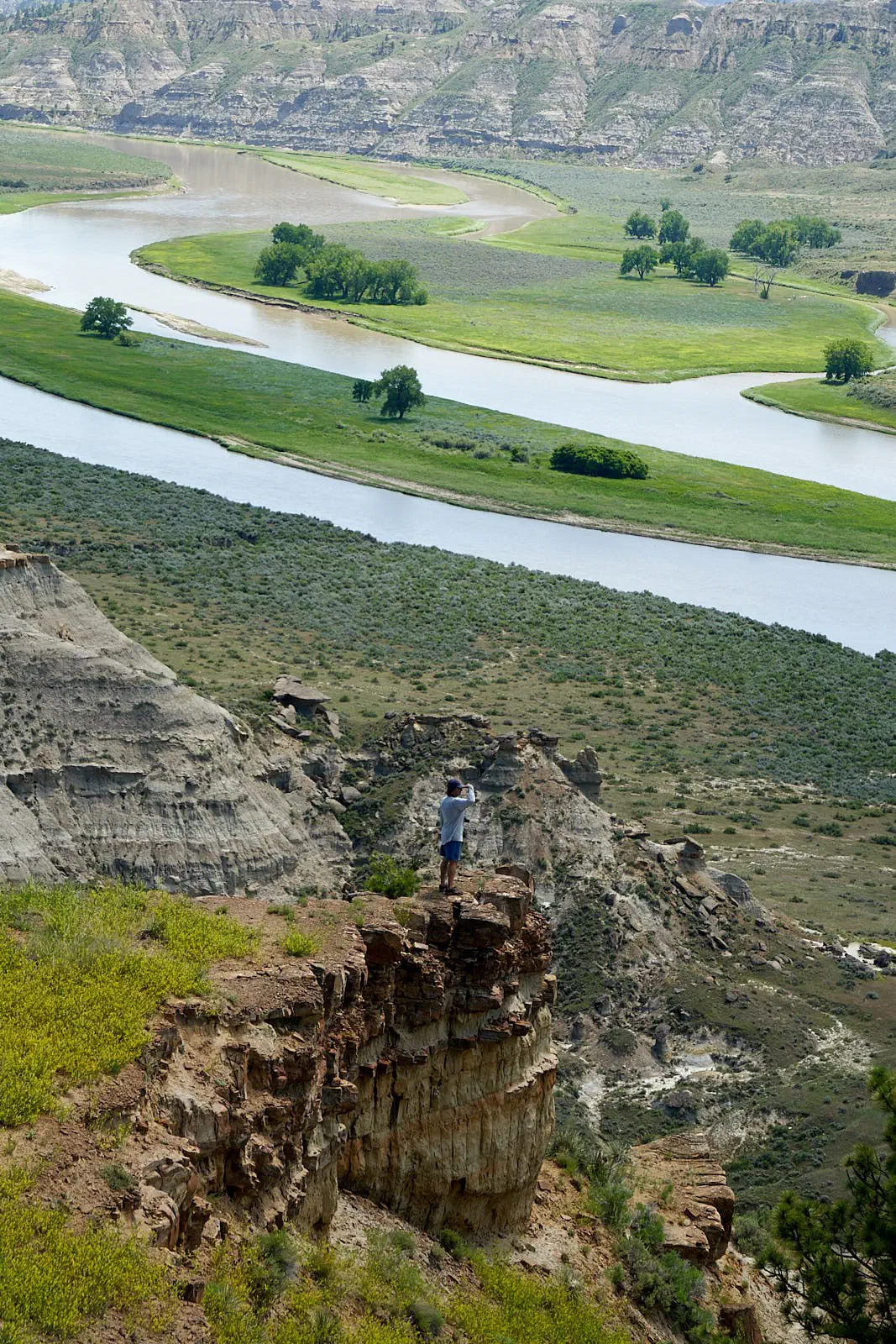
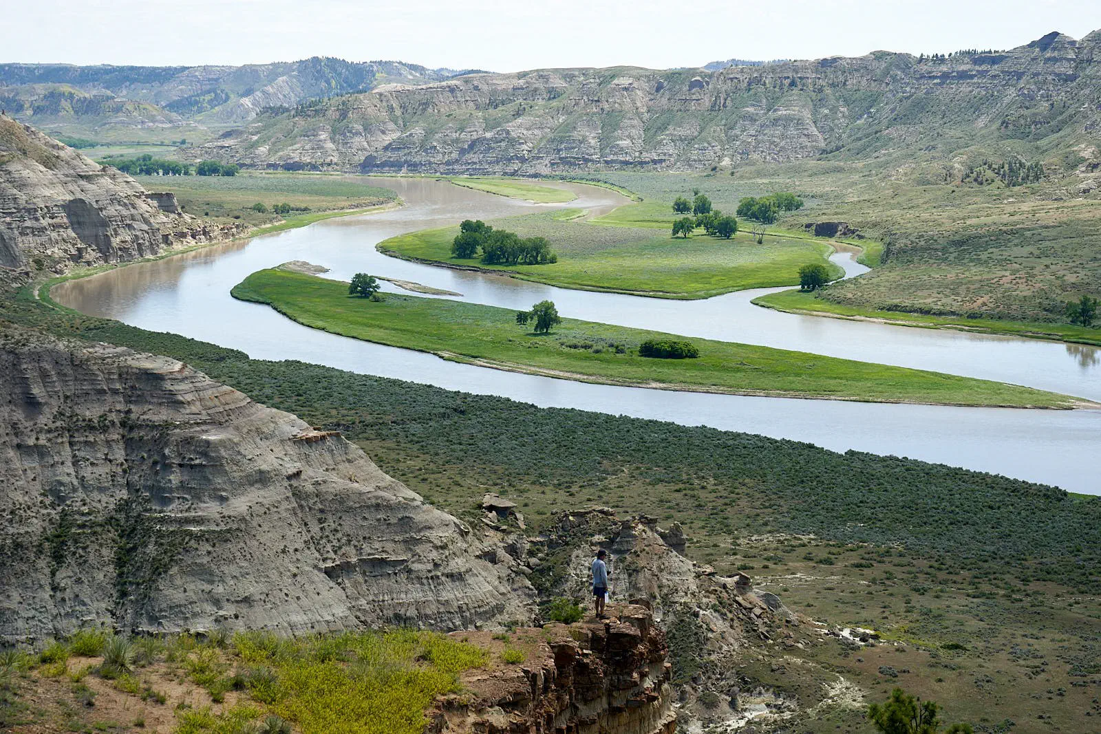
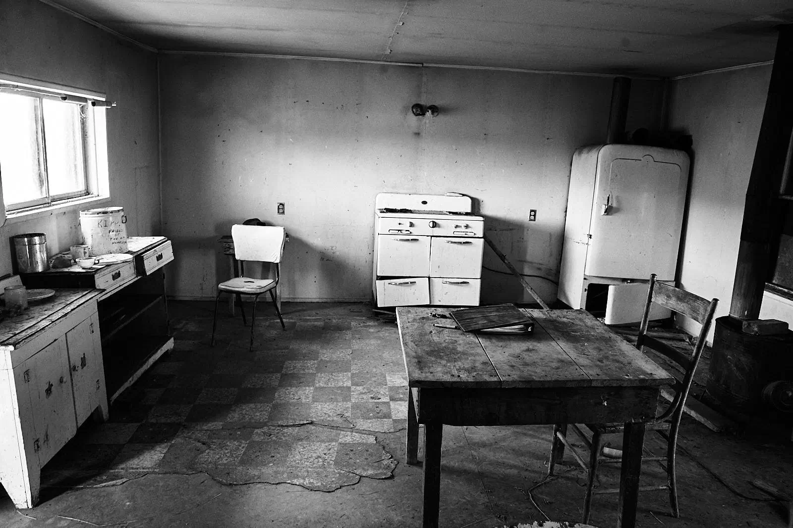
On to another, and final, homestead. Got pretty homesteaded out. This one was one of the new ones. I think it was abandoned in the 1940’s. Was owned by James Kipp’s son. You can see the guest book for visitors on the table in this photo.
The way back home...
The route back was not direct. Continued west to Glacier National Park. And then east close to the border until Wisconsin. Then headed south to Atlanta, picked up the wife and went climbing in Alabama for 2 days, and then home. Total time almost exactly 4 weeks.
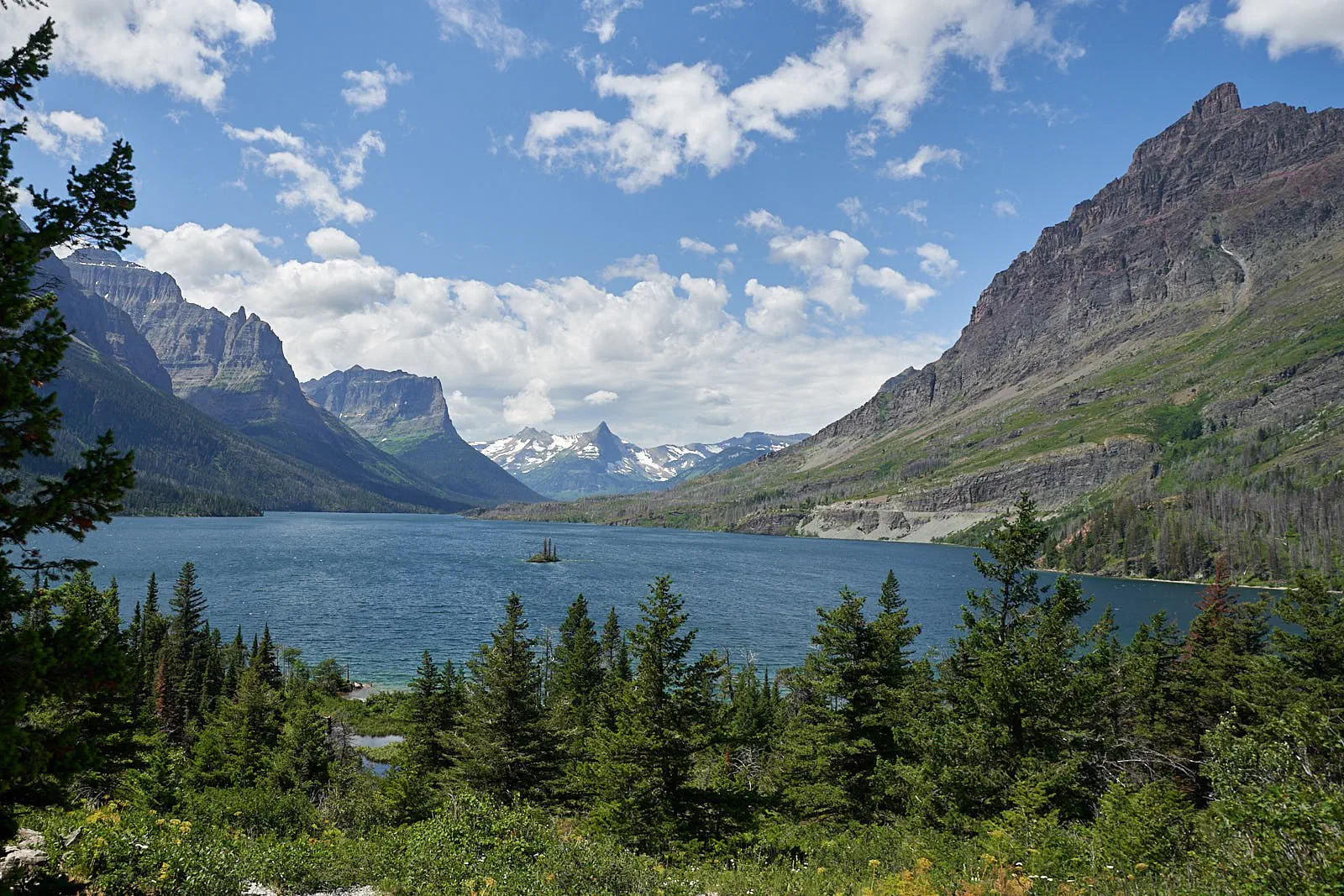
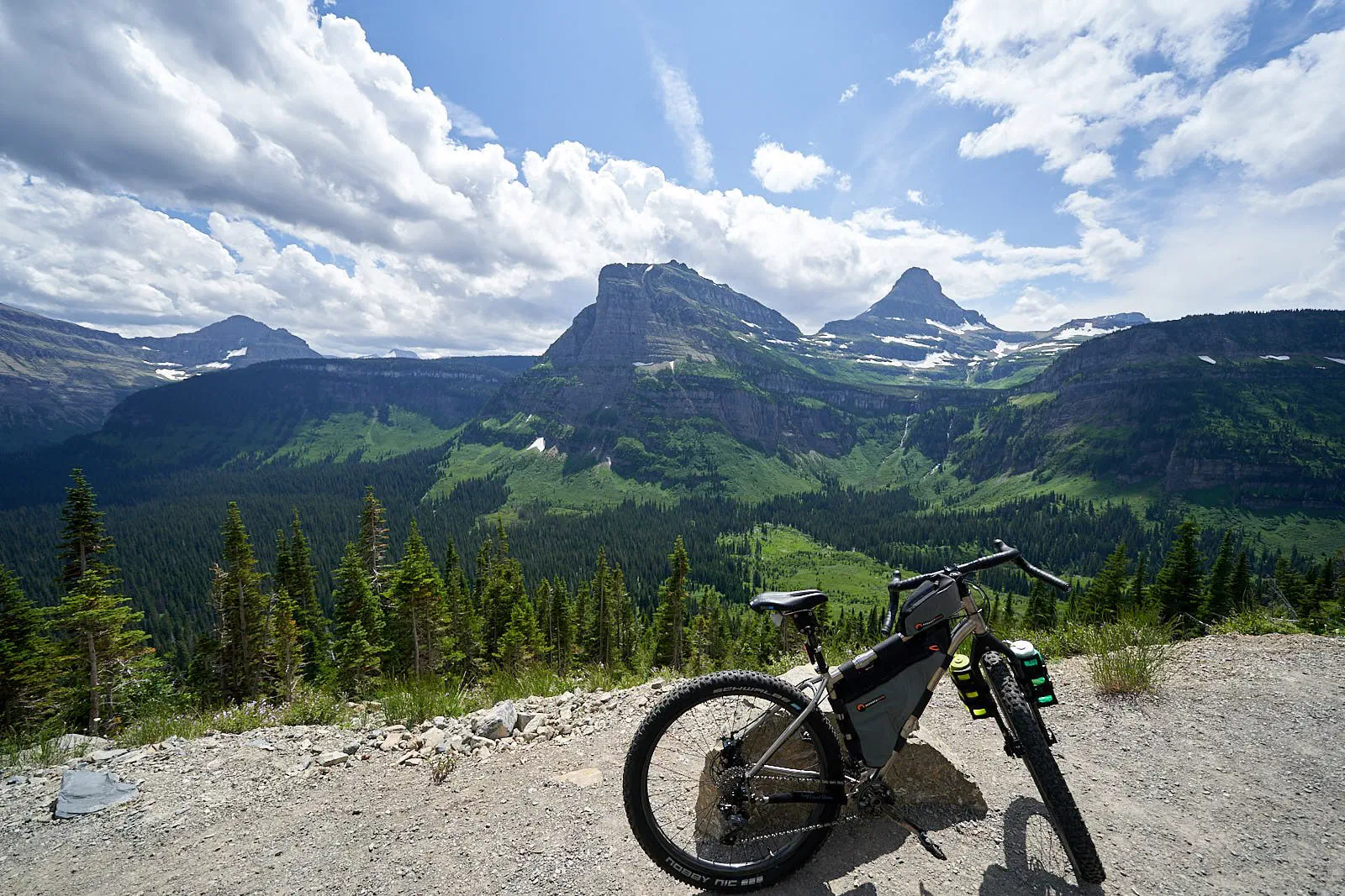
First Glacier National Park. Got to bike the Going-to-the-Sun road. Very pretty! Entered from the east, went up to the pass (about 2500 feet up from the start), down the other side, then took a park bus back to the pass, and rode back down to the start.
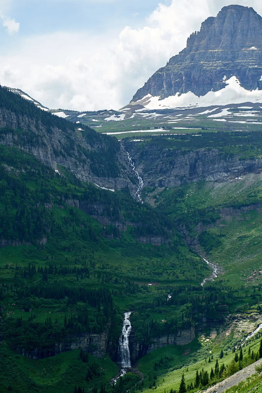
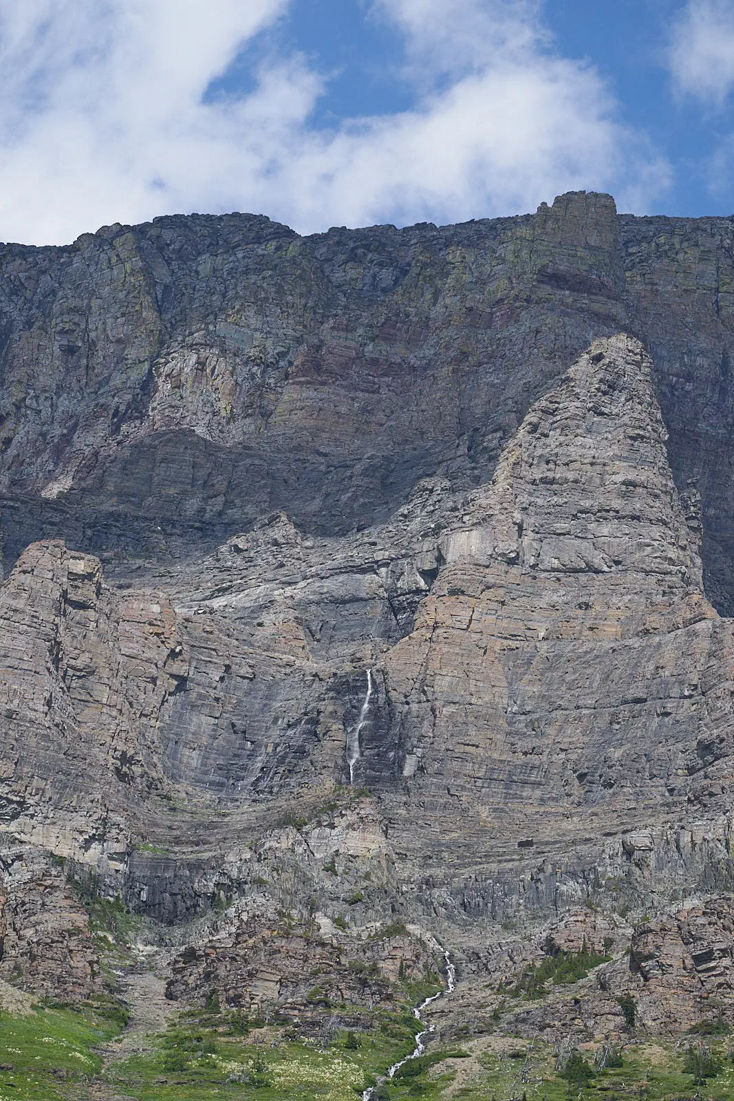
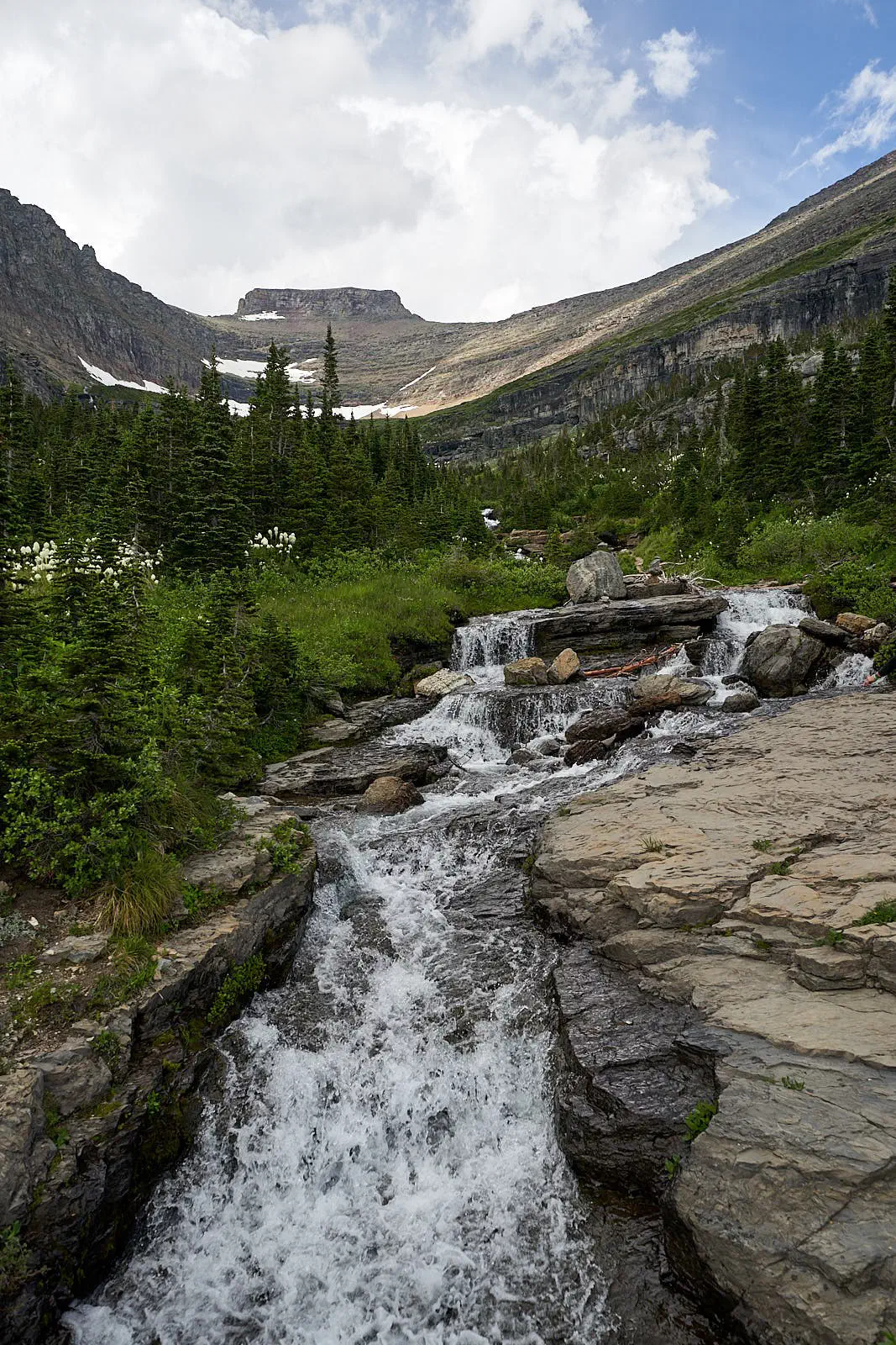
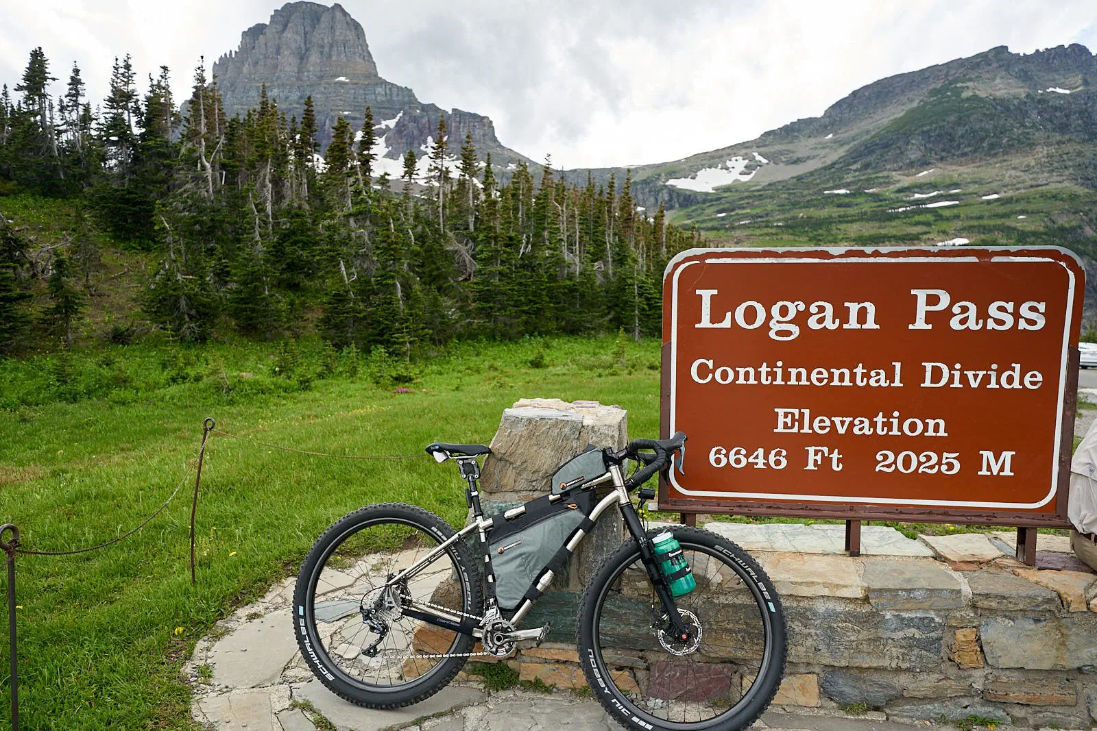
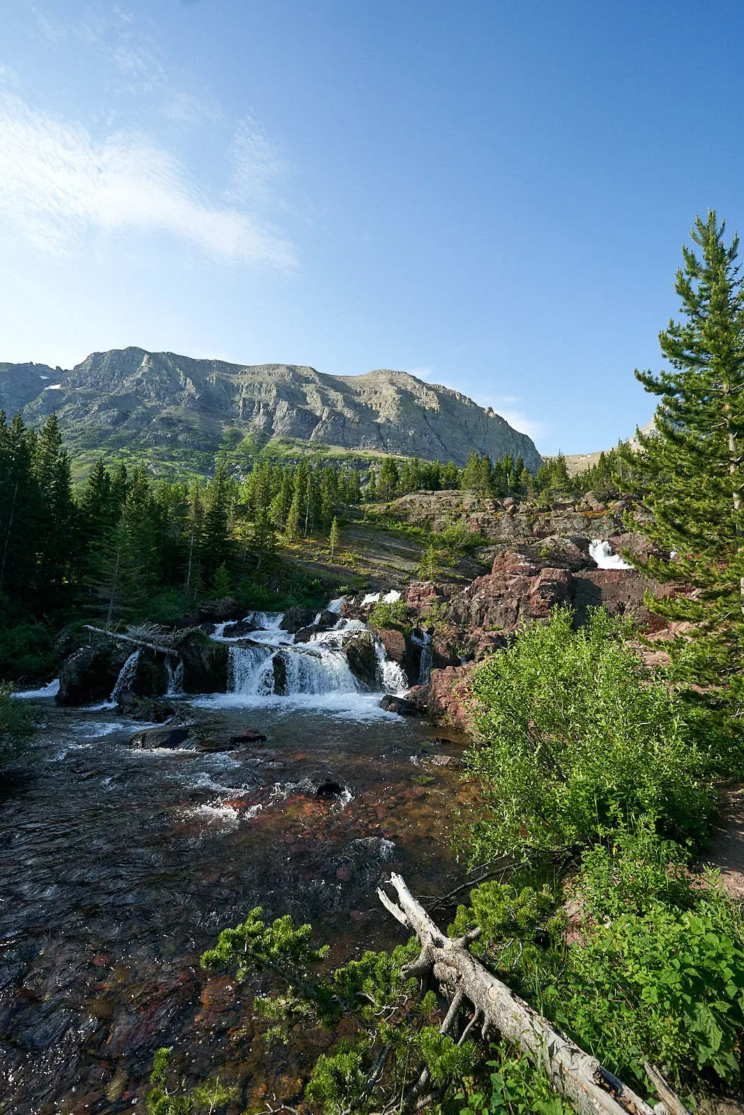
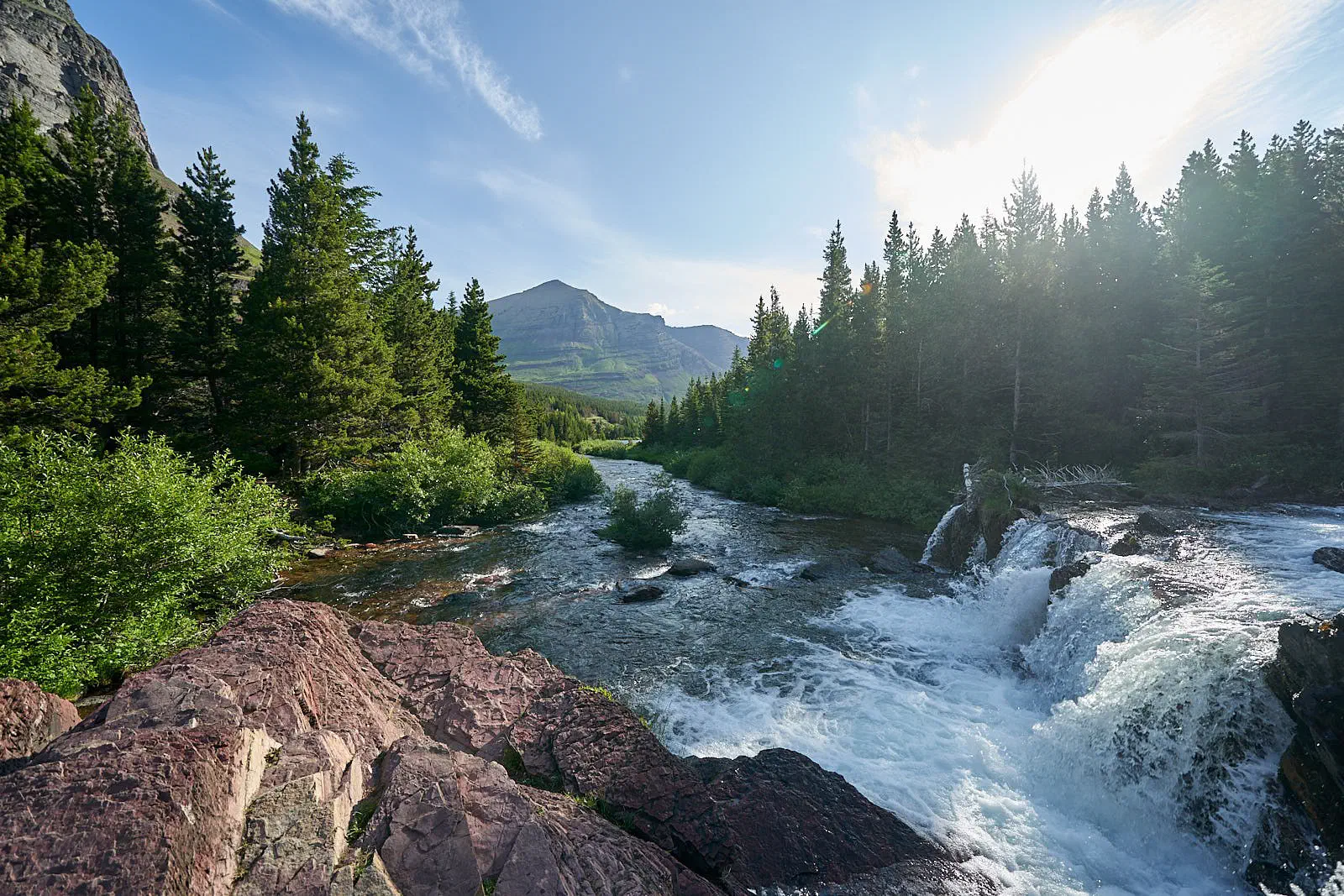
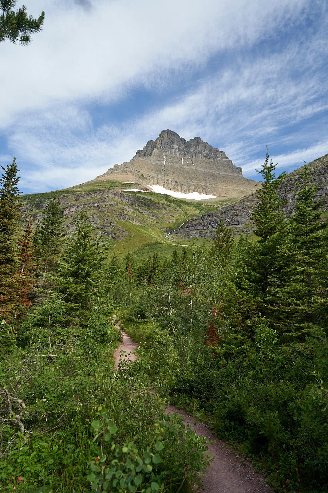
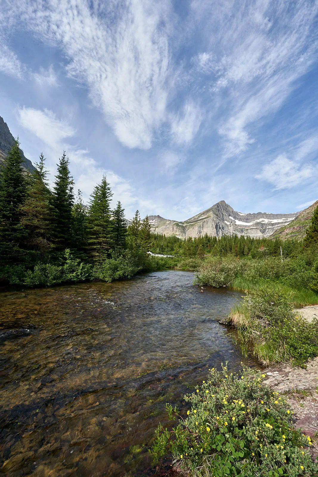
Next, I decided to do some hikes. Here are some highlights…
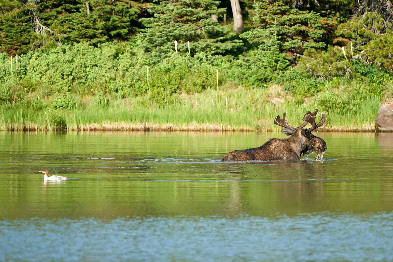
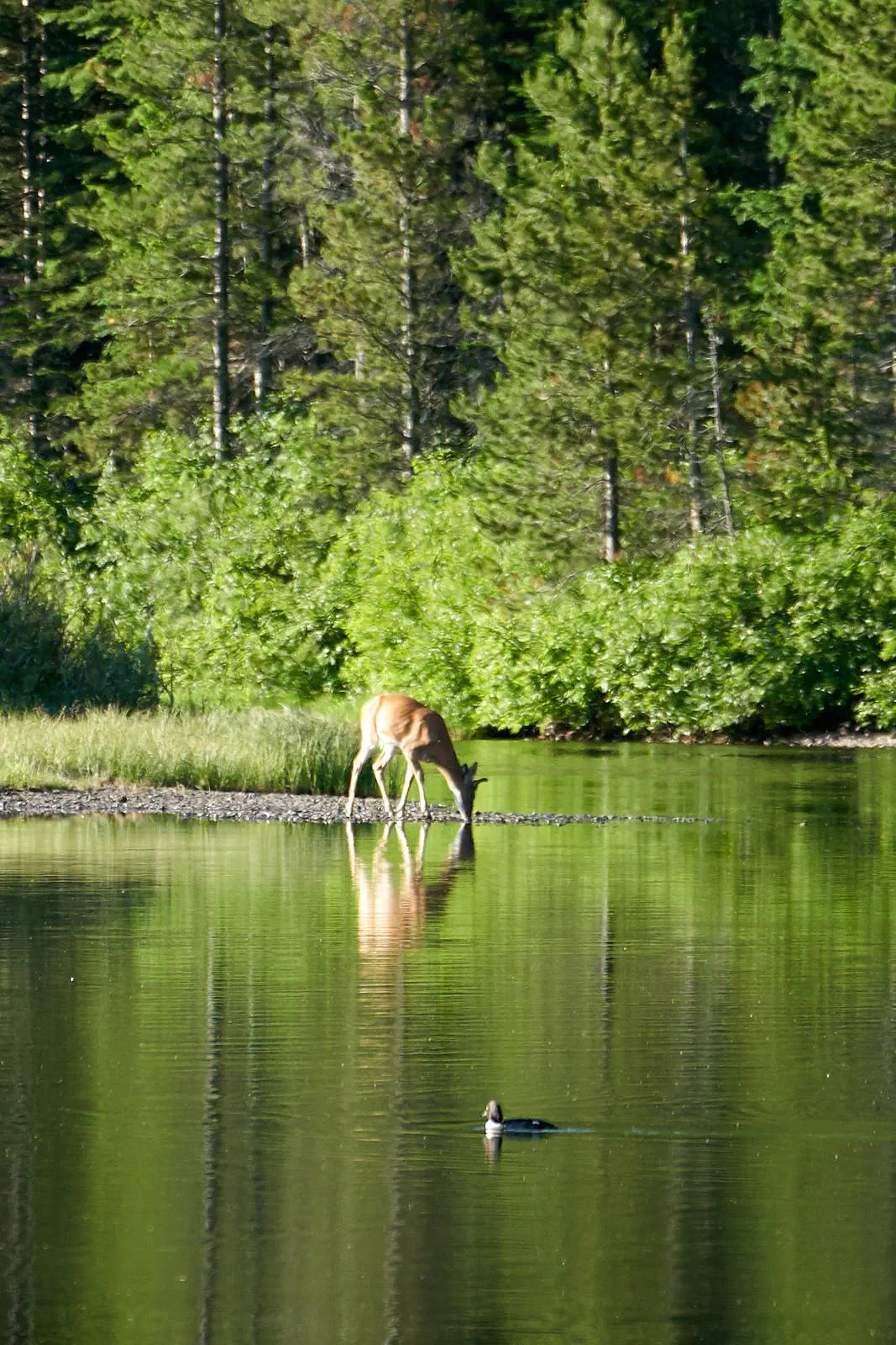
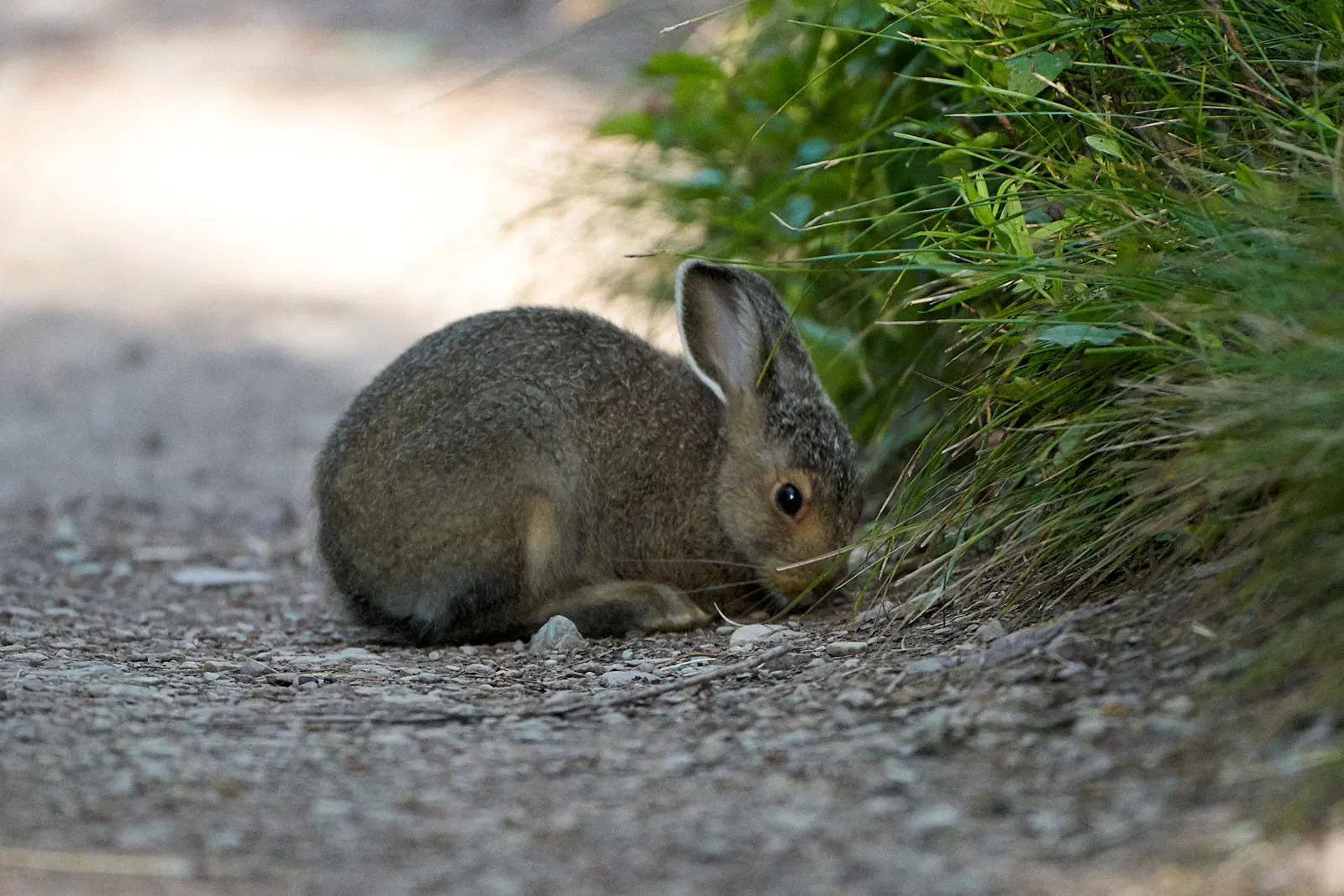
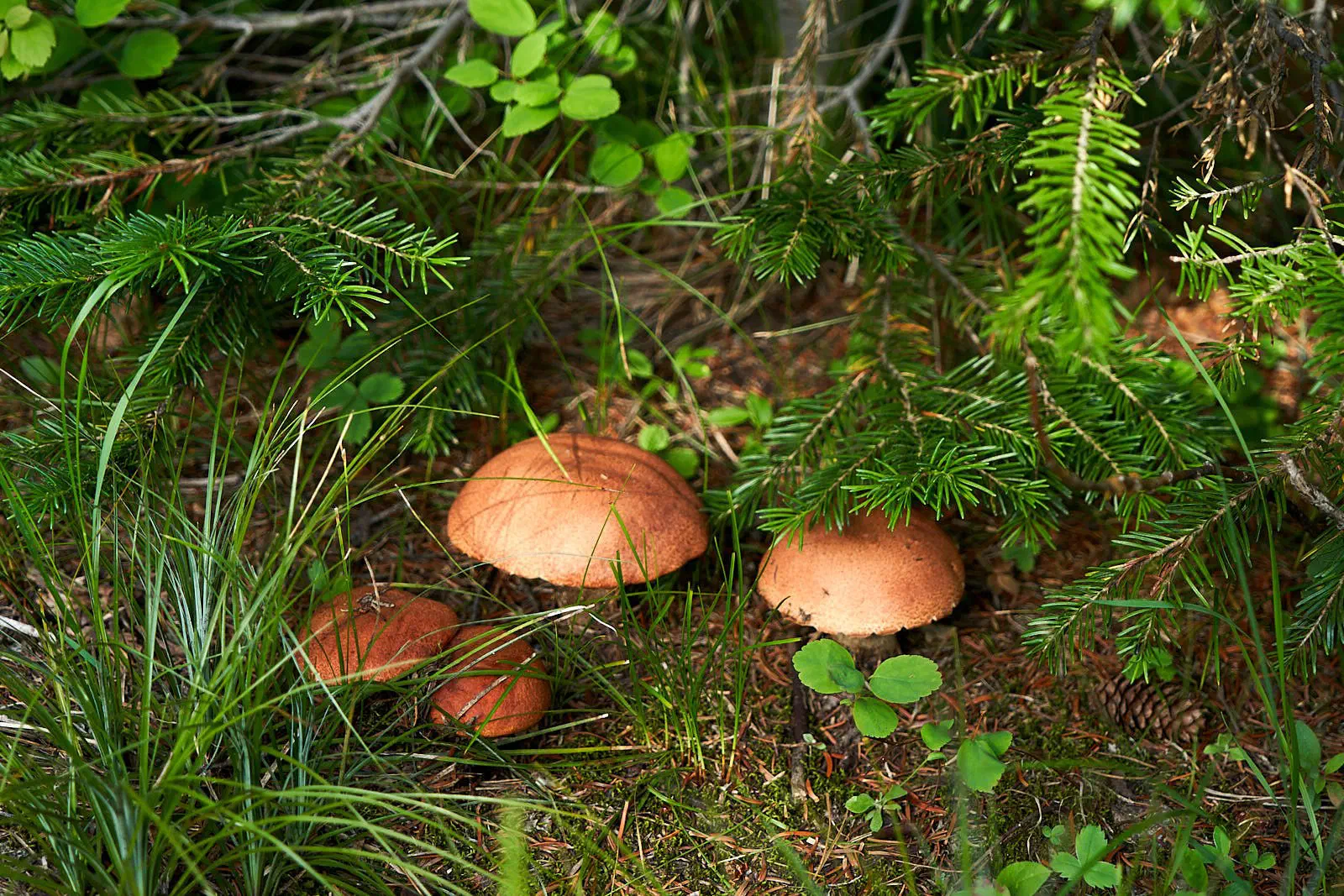
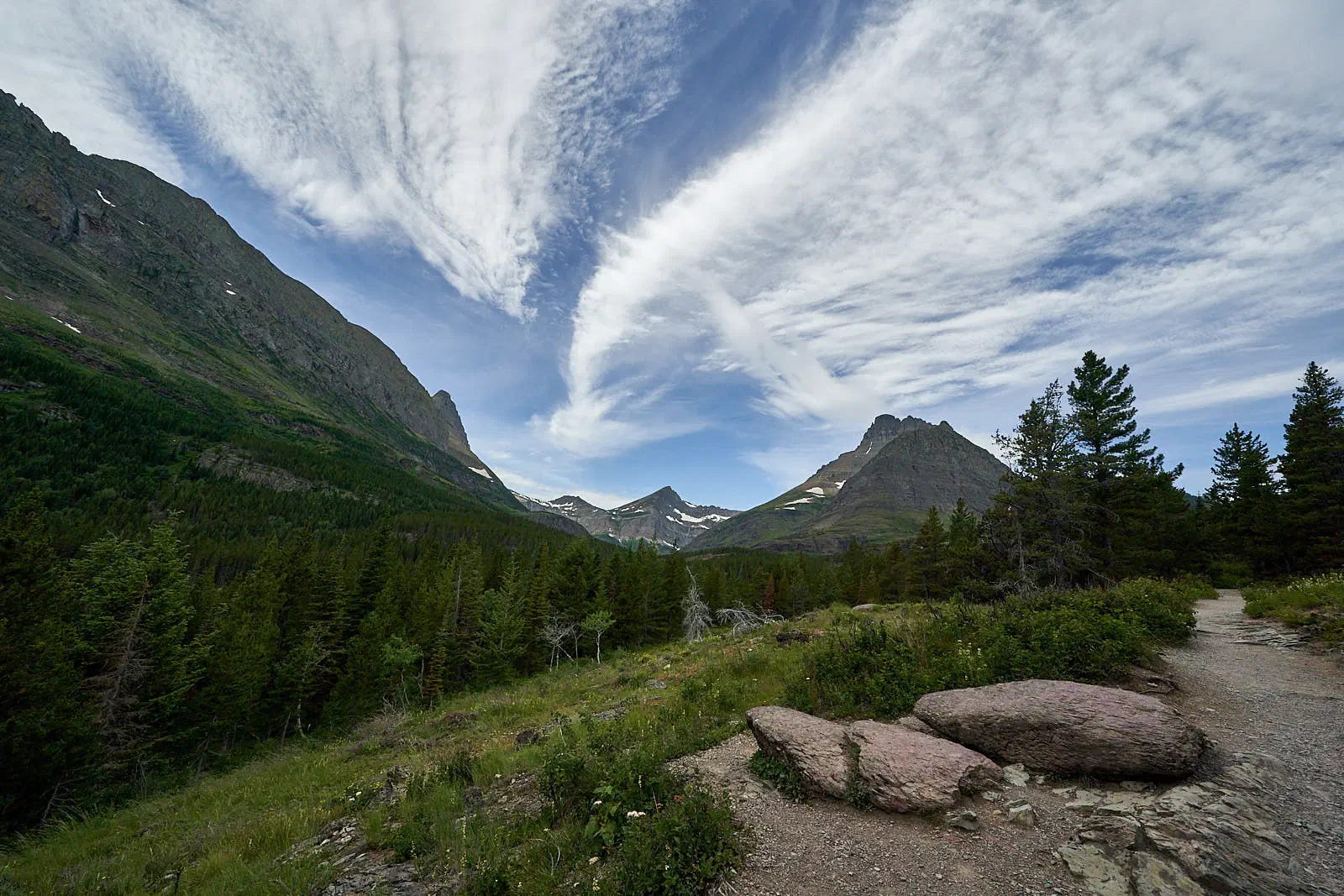
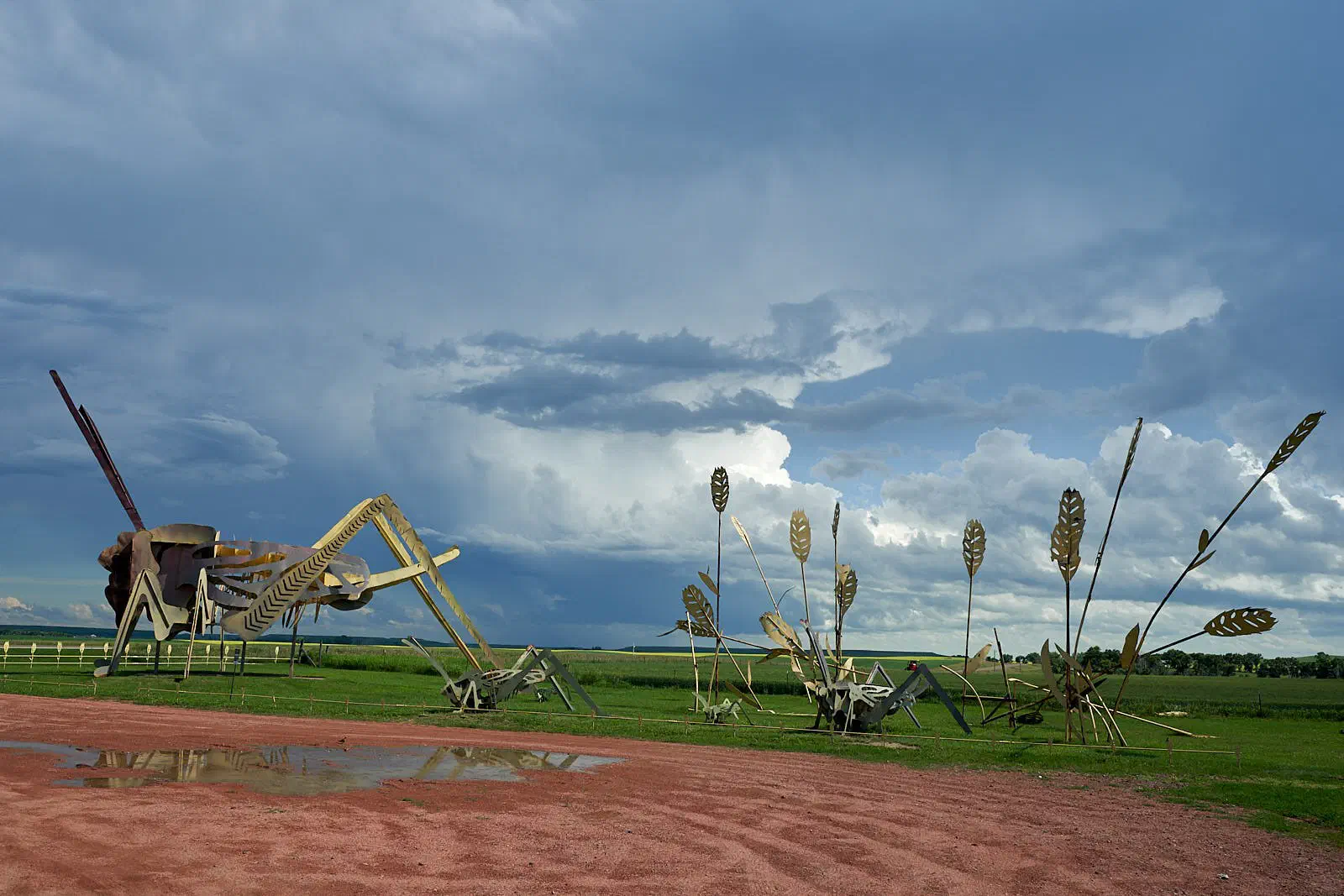
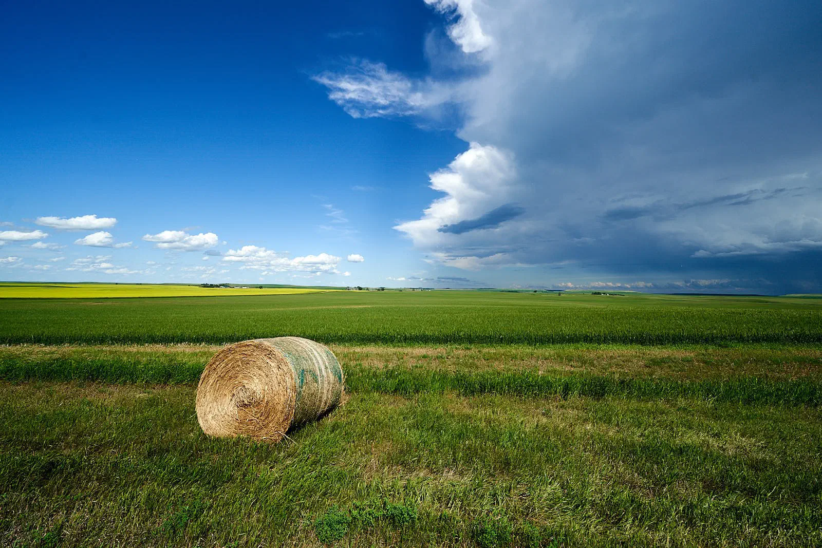
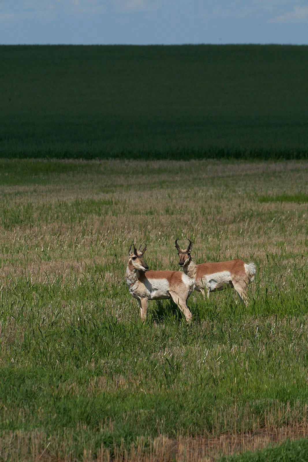
After Glacier, the opportunity for such amazing photos became less plentiful. But, check some of these out…
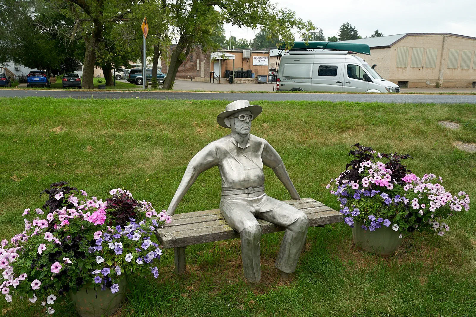
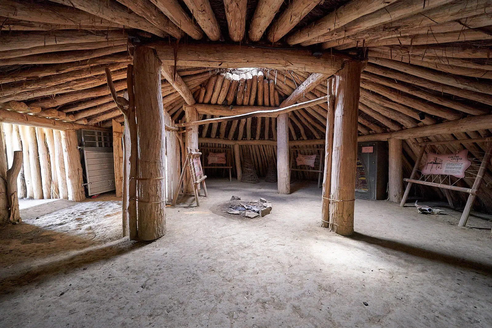
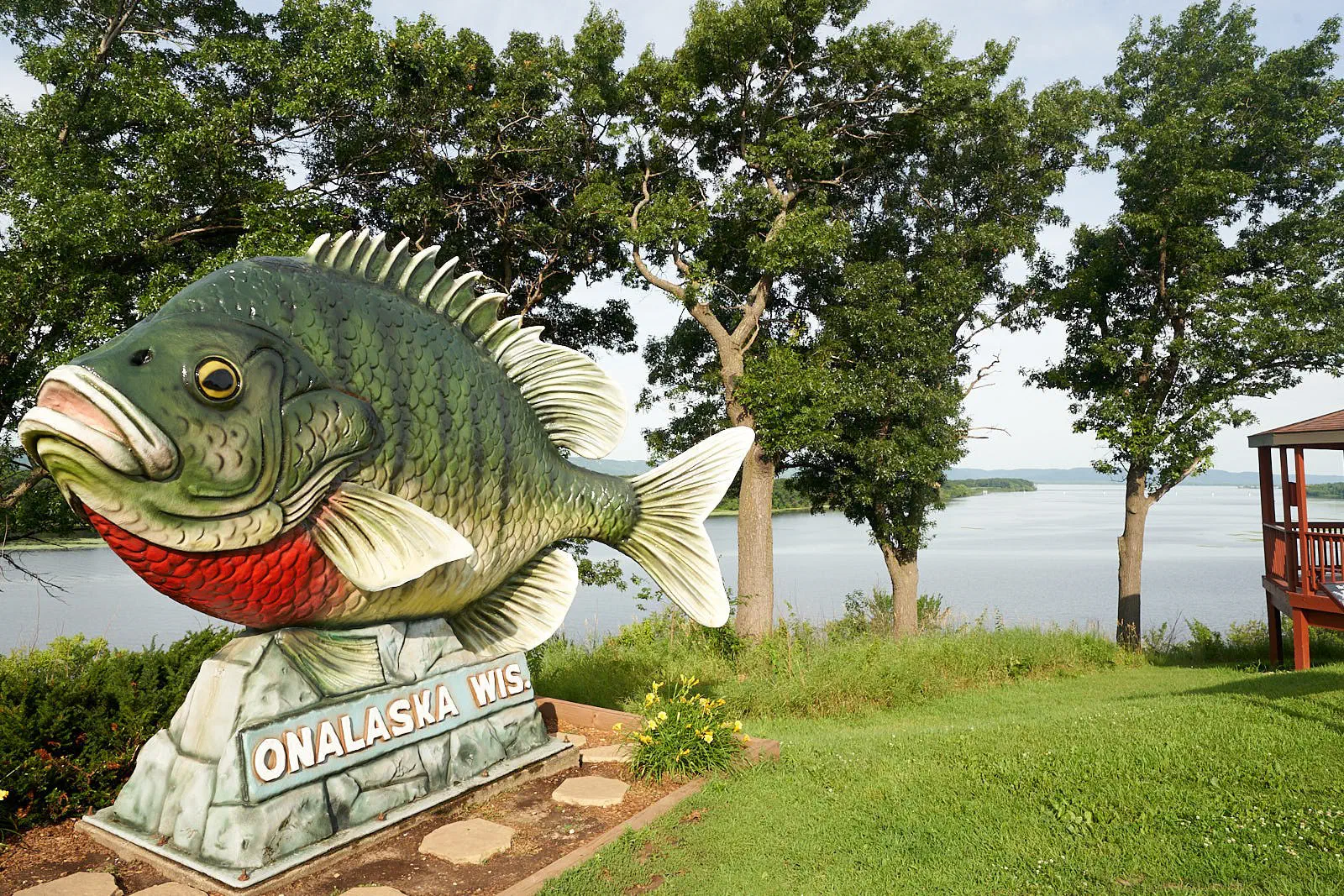
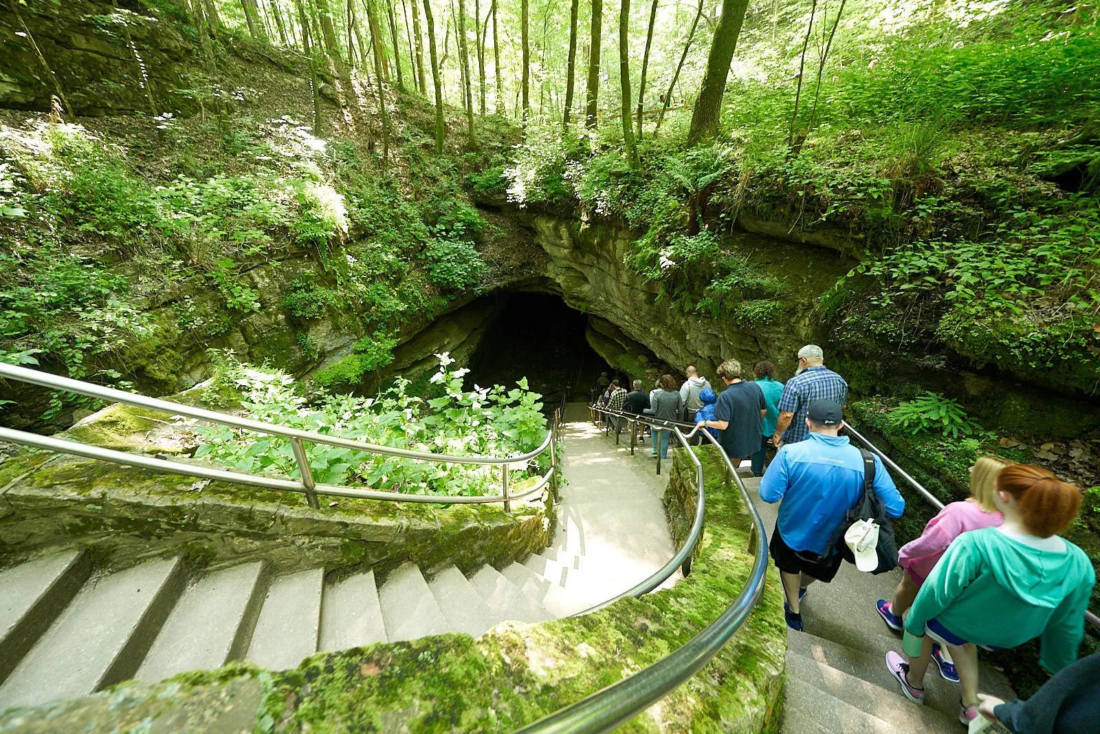
Didn’t feel like taking any shots of climbing. Sorry. Just wanted to spend time with the wife. See one of my other posts if your jonesing for climbing photos.